Torres del Paine W Trek
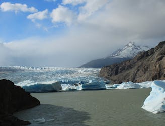
One of the world's best treks, the W links the three main valley of Torres del Paine National Park, among massive glaciers and giant granite towers.
Difficult Hiking
- Distance
- 60 km
- Ascent
- 2.7 km
- Descent
- 2.7 km

An extended version of the classic W Trek in Torres del Paine National Park that makes a full loop and includes the uncrowded backside of the range.
Hiking Difficult

The photo-famous granite towers of Paine rise from a Southern Andes sub-range that stretches roughly east-west. It is crowned by snowy peaks and furrowed by glacier-carved gorges. The W route travels up and down three parallel valleys via a traverse of the southern side of the range. The O Circuit continues this route around the north side, through a broad valley, over a high pass, and across a traverse above a massive glacier. The track mapped here is the O extension only. See also Torres del Paine W Trek, and combine the two for the entire O Trek.
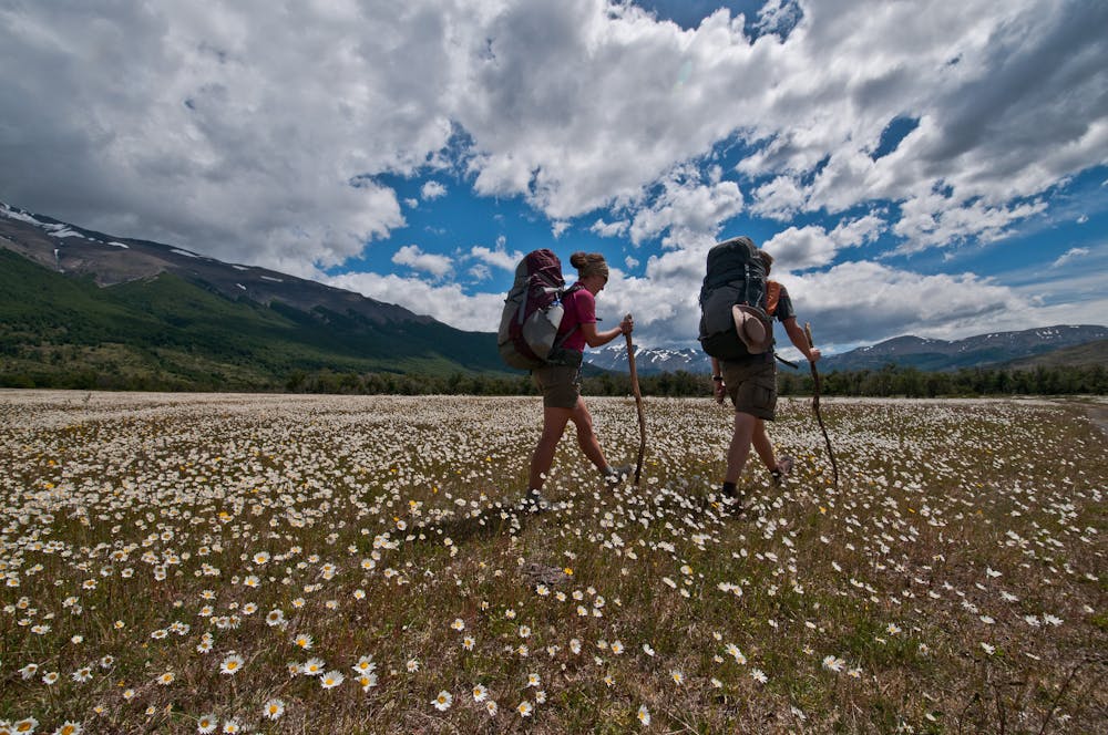
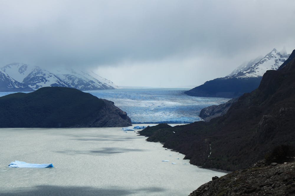
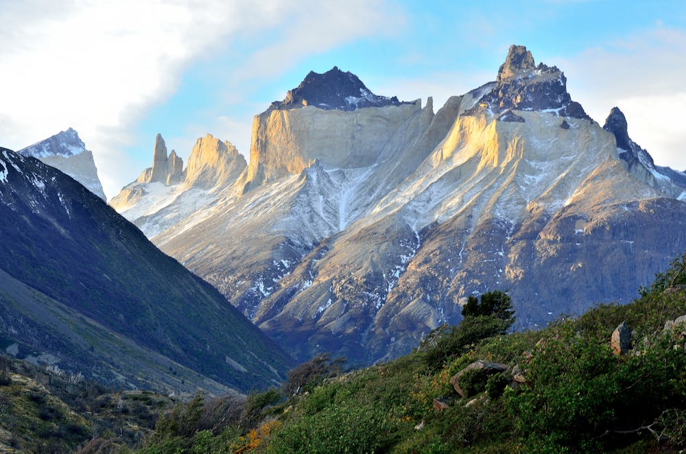
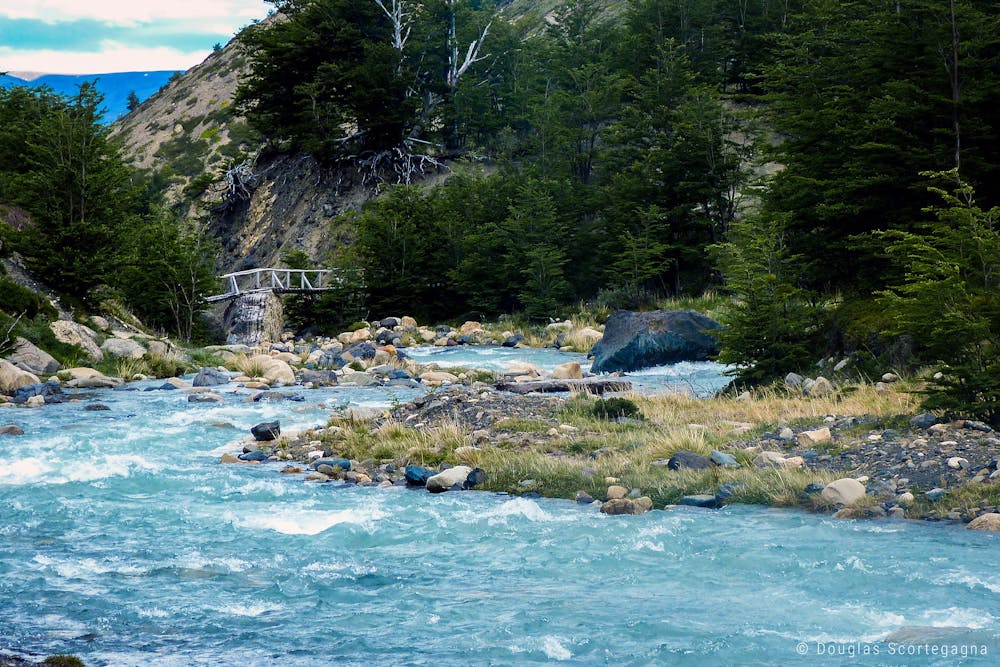
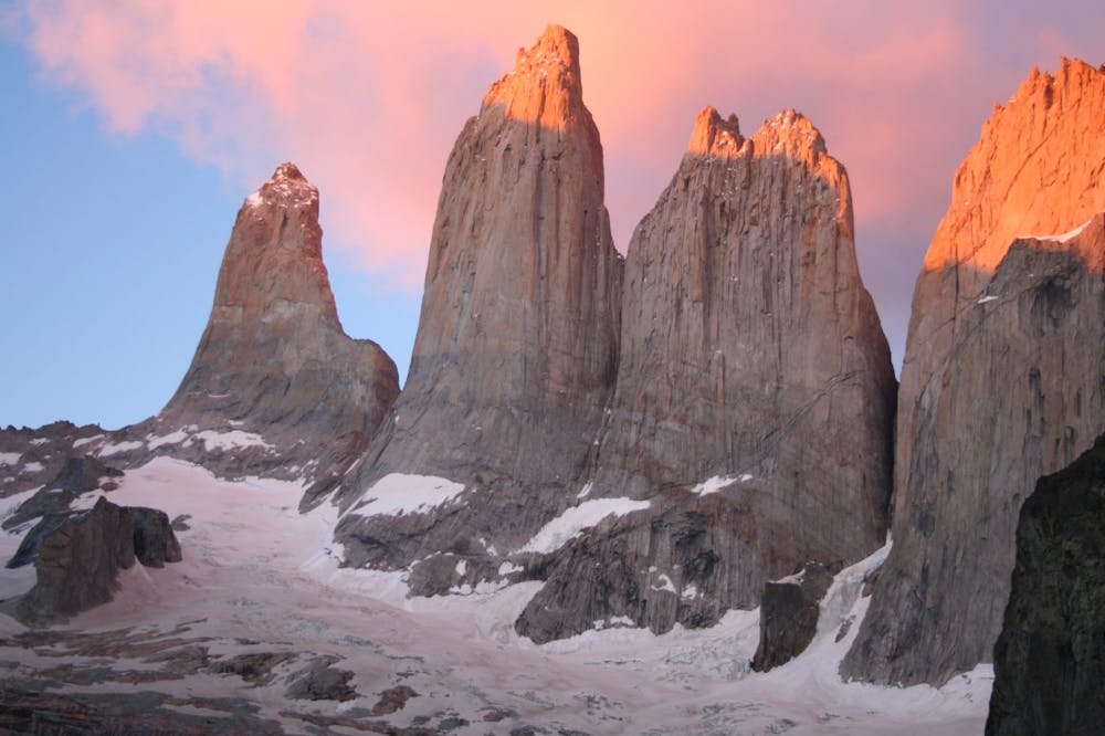
Considerably fewer people see the unique O scenery than view the scenery from the W side. Besides the extra length and difficulty of the O, the national park sets a limit of 80 people per day traveling the backside, as opposed to no formal limit on the W. Thus, you should buy your camping permits far in advance if you want to do the O. The rewards for diligent planning and intrepid trekking are days of relative solitude among flowery meadows, deep forests, and jagged peaks. You will, of course, also see the more classic sights of Torres del Paine—Glaciar Grey, Los Cuernos, Valle Frances, Las Torres, and all the rest—by completing the W as part of the O.
You must be self-sufficient for camping when trekking the O. The W portion of the circuit has the option of staying in campsites, refugios, or lodges at various places along the way. The portion unique to the O has only campsites. A few campsites have luxuries of cook huts, running water, and hot showers, but you will still need your own tent and other sleeping gear. Pack strategically to stay comfortable in the blustery and rainy climate of Patagonia. Renting equipment and/or hiring a guide are options for the O Circuit, but you can also do it on your own with proper campsite reservations.
Sources: https://www.goatsontheroad.com/ultimate-guide-trekking-camping-o-circuit-torres-del-paine-chile/ https://en.wikipedia.org/wiki/TorresdelPaineNationalPark http://www.torres-del-paine.org/map-tdp.html
Difficult
Hiking trails where obstacles such as rocks or roots are prevalent. Some obstacles can require care to step over or around. At times, the trail can be worn and eroded. The grade of the trail is generally quite steep, and can often lead to strenuous hiking.

One of the world's best treks, the W links the three main valley of Torres del Paine National Park, among massive glaciers and giant granite towers.
Difficult Hiking
6 routes · Hiking