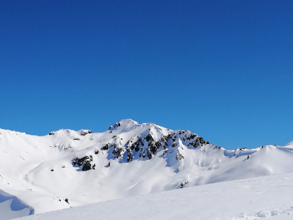
Cajón Potrero Lo Aguirre
Lo Aguirre
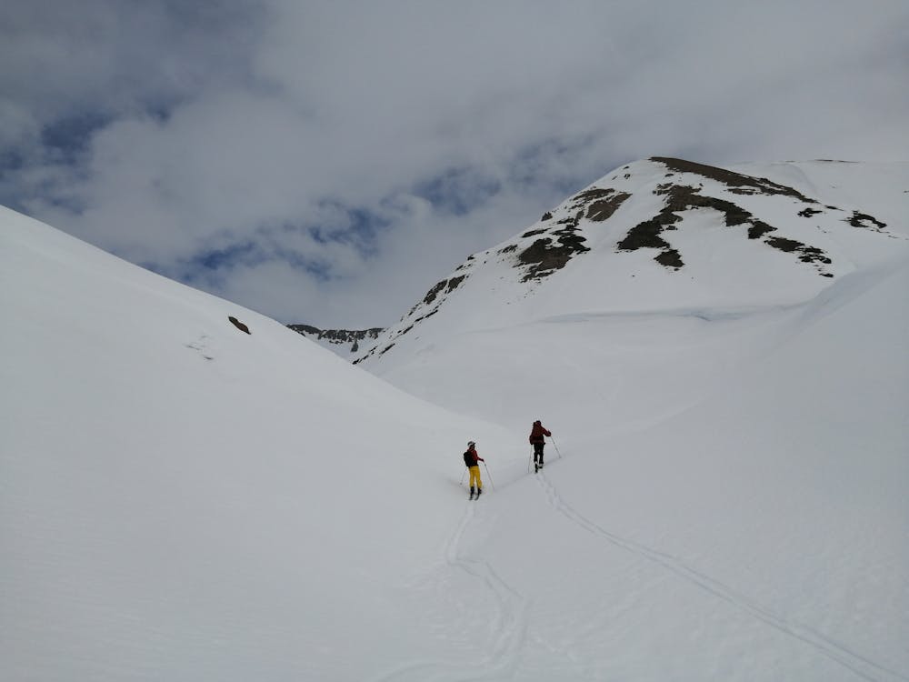
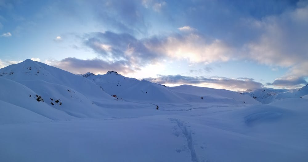
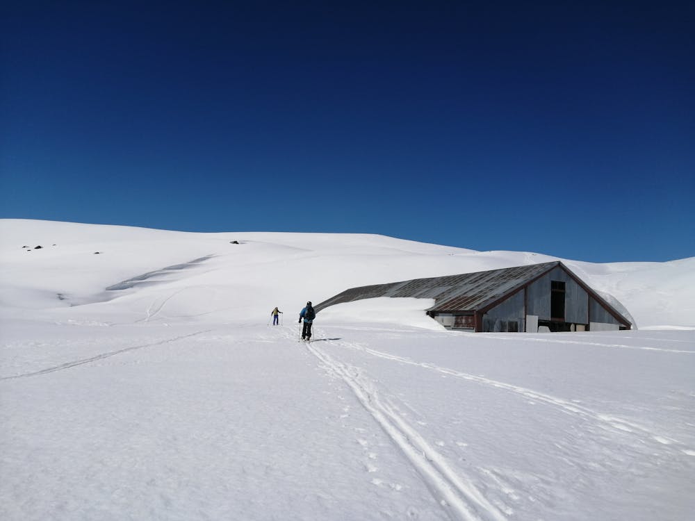
Bowl lines from a big hut
Ski Touring Moderate
- Distance
- 11 km
- Ascent
- 827 m
- Descent
- 807 m
- Duration
- 4-5 hrs
- Low Point
- 2 km
- High Point
- 2.8 km
- Gradient
- 31˚

This is a popular ski touring route which is generally considered to be moderate. It's an unknown remoteness, it features unknown exposure and is typically done in an unknown time of year. From a low point of 2 km to the maximum altitude of 2.8 km, the route covers 11 km, 827 vertical metres of ascent and 807 vertical metres of descent.
- •
- •
- •
- •
Description
.
Difficulty
Moderate
Slopes become slightly steeper at around 25-30 degrees.