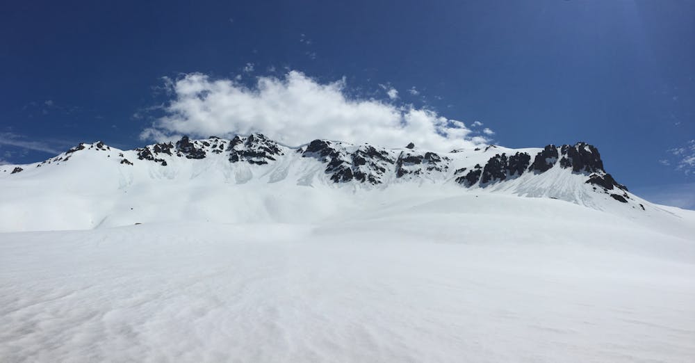
Murallón de los galpones rojos
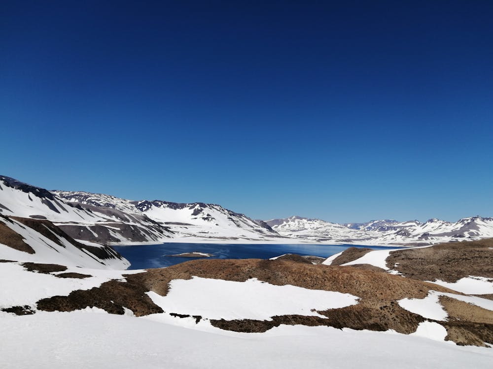
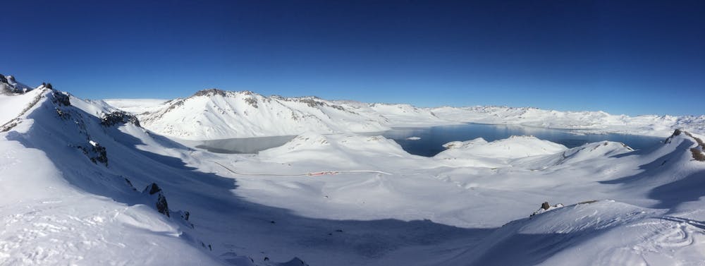
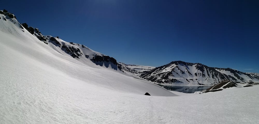
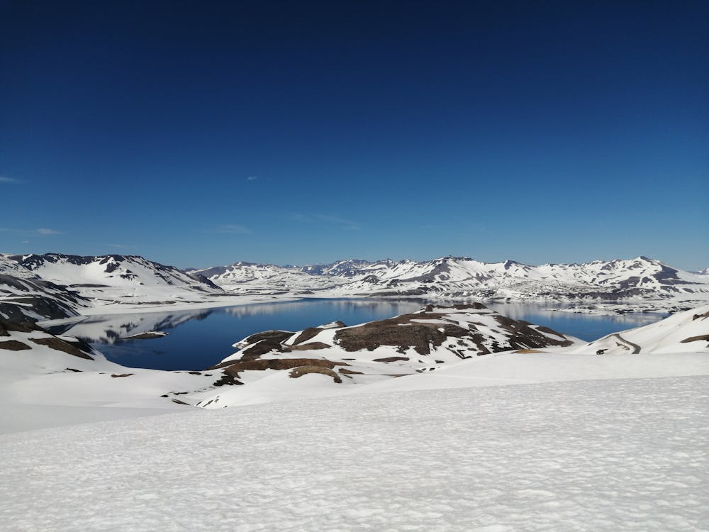
Laguna del Maule
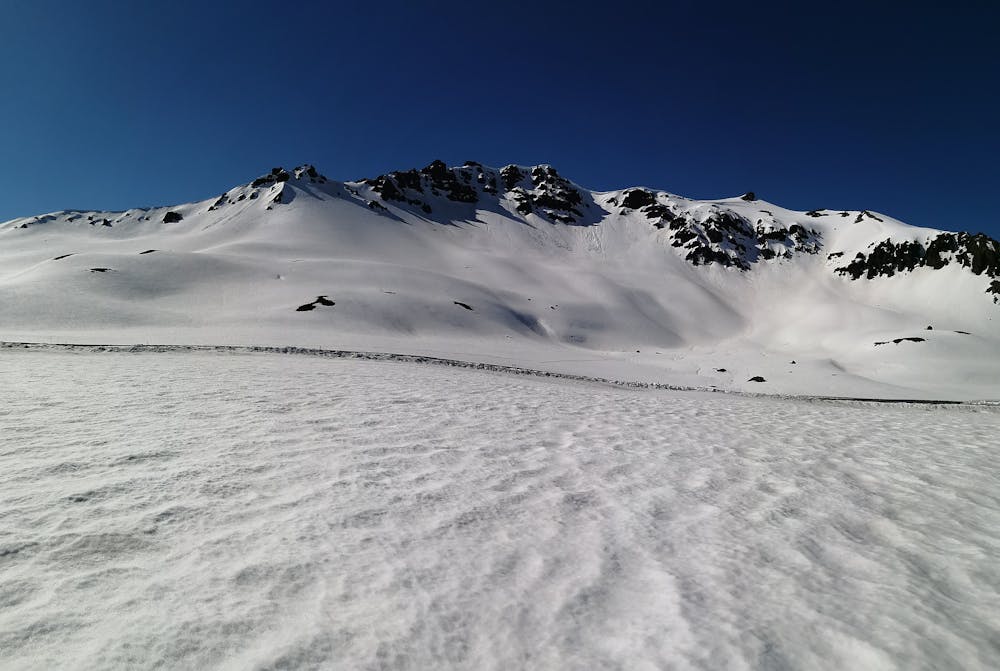
Excellent roadside lines
Ski Touring Difficult
- Distance
- 6.3 km
- Ascent
- 629 m
- Descent
- 627 m
- Duration
- 3-4 hrs
- Low Point
- 2.3 km
- High Point
- 2.9 km
- Gradient
- 33˚

This is a popular ski touring route which is generally considered to be difficult. It's an unknown remoteness, it features unknown exposure and is typically done in an unknown time of year. From a low point of 2.3 km to the maximum altitude of 2.9 km, the route covers 6.3 km, 629 vertical metres of ascent and 627 vertical metres of descent.
- •
- •
- •
- •
- •
- •
- •
Description
.
Difficulty
Difficult
Serious gradient of 30-38 degrees where a real risk of slipping exists.