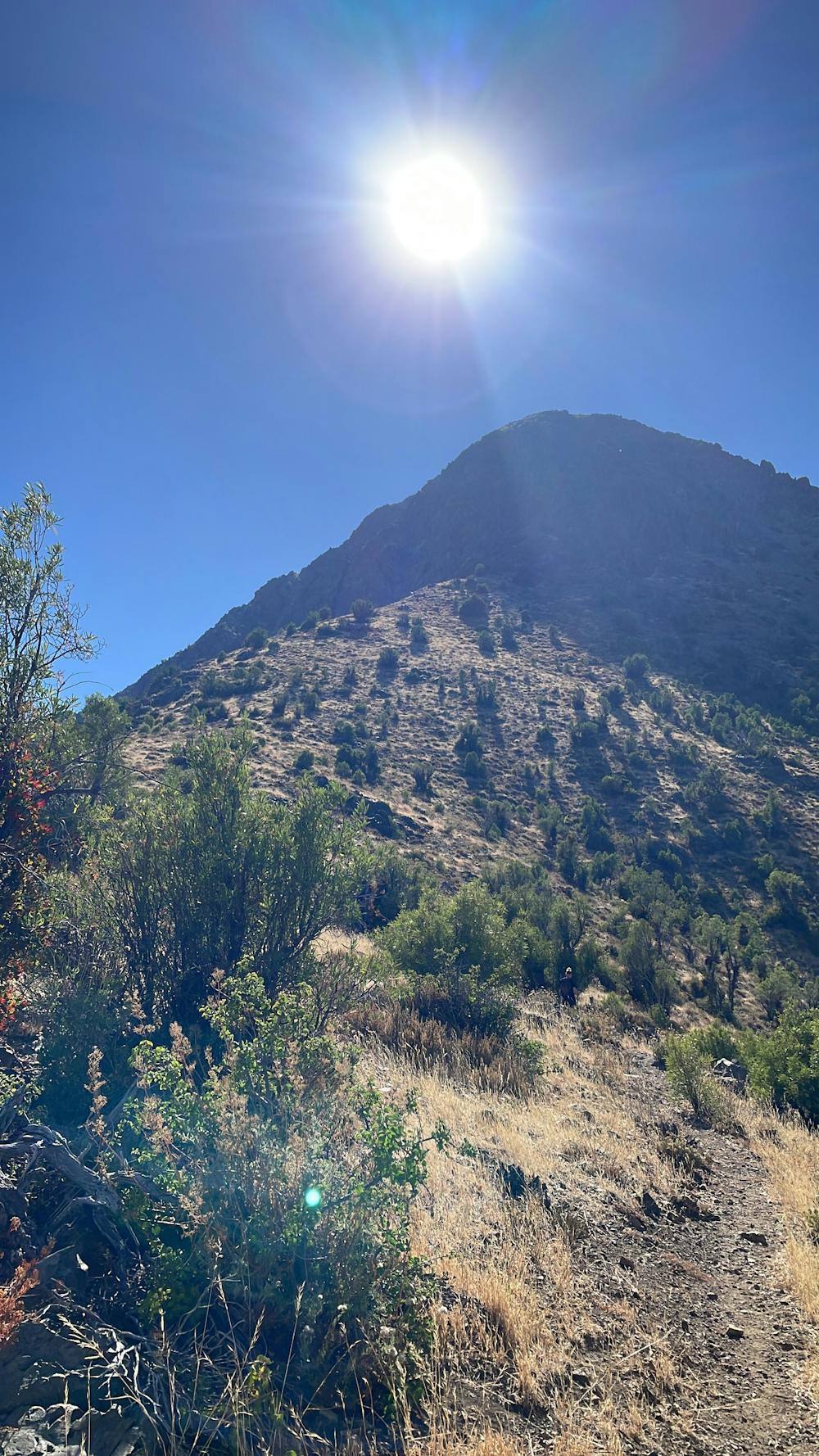
Cerro Purgatorio
Bonito cerro de la comuna de pirque. Muy buenas vistas a la cordillera en la cumbre
Hiking Easy
- Distance
- 17 km
- Ascent
- 1.6 km
- Descent
- 1.6 km
- Duration
- 6-7 hrs
- Low Point
- 838 m
- High Point
- 2.4 km
- Gradient
- 19˚

This is a popular hiking route which is generally considered to be easy. It's not remote, it features medium exposure and is typically done in January, February, March, April, June, September, October, November and December. From a low point of 838 m to the maximum altitude of 2.4 km, the route covers 17 km, 1641 vertical metres of ascent and 1643 vertical metres of descent.
Description
Acceso habilitado sin cobro, tener cuidado en los desvíos del principio que hay muchos senderos que bajan al estero. TRACK de subida con desvío innecesario al principio...
Difficulty
Easy
Walking along a well-kept trail that’s mostly flat. No obstacles are present.
Medium Exposure

The trail contains some obstacles such as outcroppings and rock which could cause injury.
Remoteness

Close to help in case of emergency.
Best time to visit
Features
- Summit Hike