Abaji Cuo North Route
The newer (more gradual) route to the famous lake
Hiking Difficult
- Distance
- 14 km
- Ascent
- 849 m
- Descent
- 355 m
- Duration
- 4-5 hrs
- Low Point
- 3.7 km
- High Point
- 4.4 km
- Gradient
- 17˚

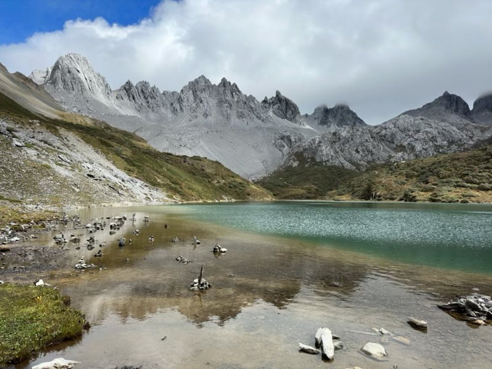
An easy to follow route with good paths and spectacular views. Far nicer than the old West route (although descending that one is a good option). It also has great views from 200m above the Abaji lake.
Description
Water sources are regularly available after the first 2 hours (both lakes and streams), but all need purifying (we brought a Grayel Ultrapress device, and saw others with steripen etc).
Should be possible in the winter as well, but you'd need crampons & hiking axe as the final descent to the lake is quite steep.
No phone signal for almost the entire route, and so if you're hiking outside of tourist season make sure to let someone know where you're going. The route can be navigated by a good 4x4 car so rescue is possible, but you might not see anyone else all day.
Finally this is at high altitude, so the Fatmap times are optimistic. We did it in 5h (with good pacing and 2 stops), but it could easily be 6-7h one way. The West route is about 2-3h down if you choose the circular option.
Difficulty
Difficult
Hiking trails where obstacles such as rocks or roots are prevalent. Some obstacles can require care to step over or around. At times, the trail can be worn and eroded. The grade of the trail is generally quite steep, and can often lead to strenuous hiking.
High Exposure

Some trail sections have exposed ledges or steep ascents/descents where falling could cause serious injury.
Remoteness
Little chance of being seen or helped in case of an accident.
Best time to visit
Features
- Alpine
- Picturesque
- Wild flowers
- Water features
- Forestry or heavy vegetation