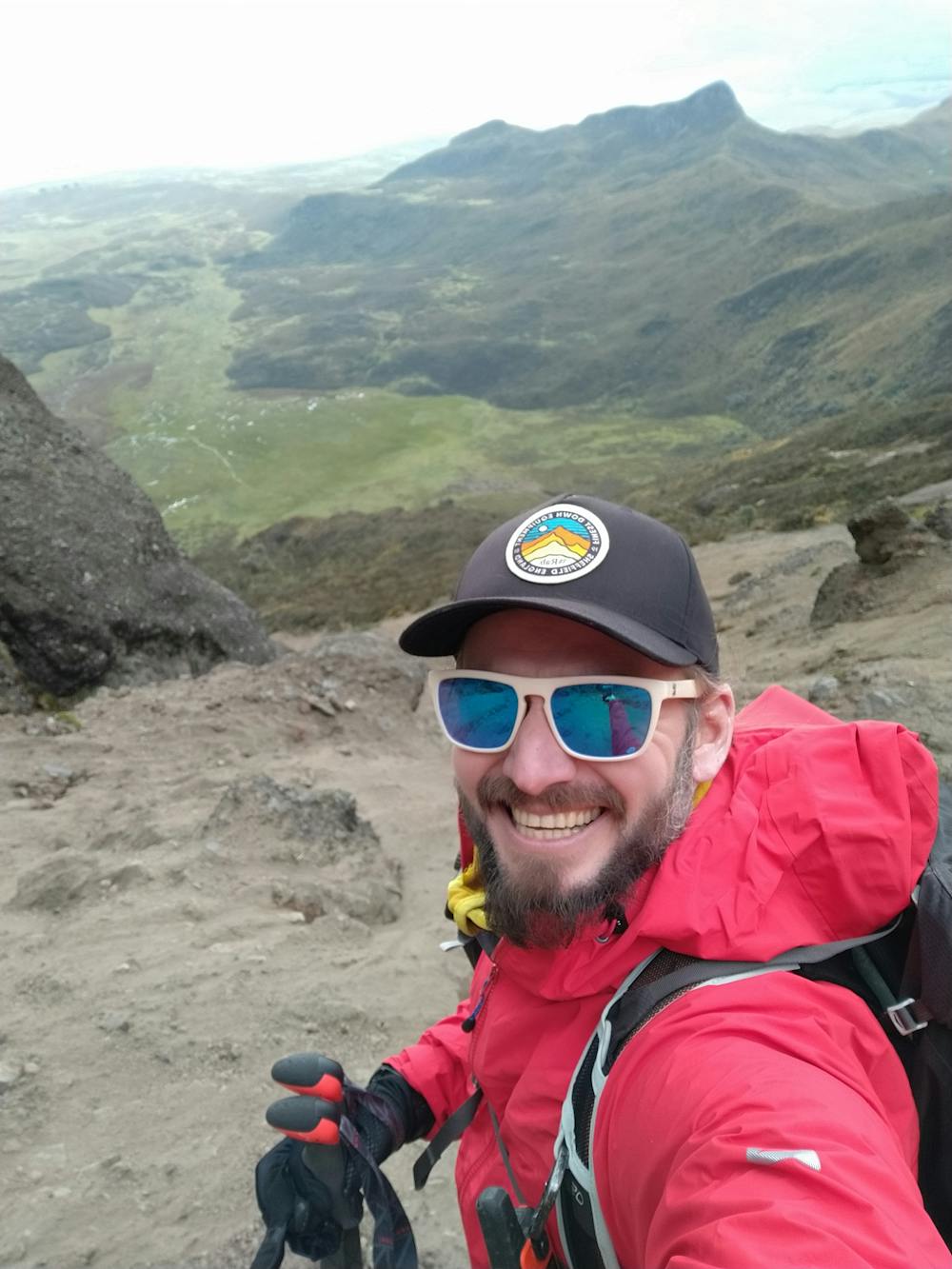
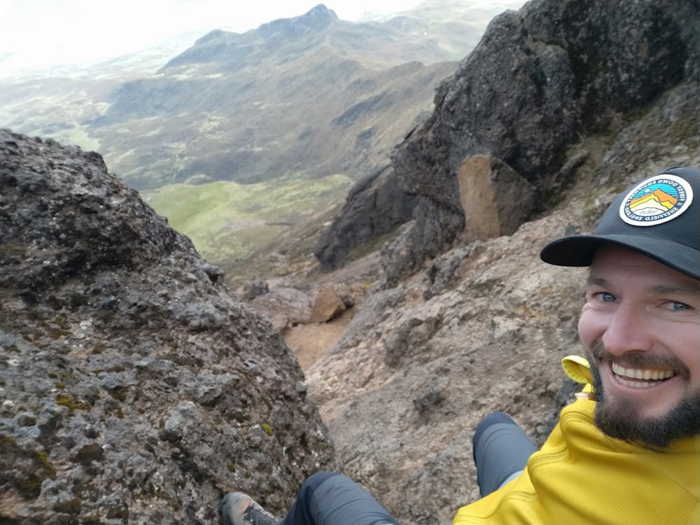
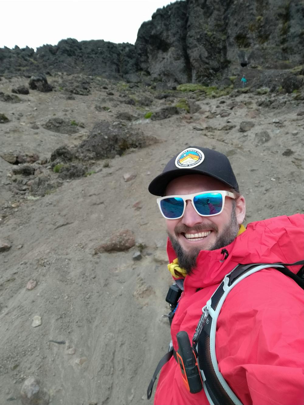
Ruminahui
An acclimatisation climb in prep for the big 3 in Ecuador
Alpine Climbing Moderate
- Distance
- 14 km
- Ascent
- 809 m
- Descent
- 811 m
- Low Point
- 3.9 km
- High Point
- 4.6 km
- Gradient
- 27˚

This is a popular alpine climbing route which is generally considered to be moderate. It's an unknown remoteness, it features unknown exposure and is typically done in an unknown time of year. From a low point of 3.9 km to the maximum altitude of 4.6 km, the route covers 14 km, 809 vertical metres of ascent and 811 vertical metres of descent.
- •
- •
- •
Description
Successful summit
Difficulty
Moderate
May involve slightly more complex glacier hikes, easy but possibly long rock ridges and steep snow up to 45 degrees. Equivalent to PD, PD+