Chapeau de Gendarme et Col de Fours
Barcelonnette
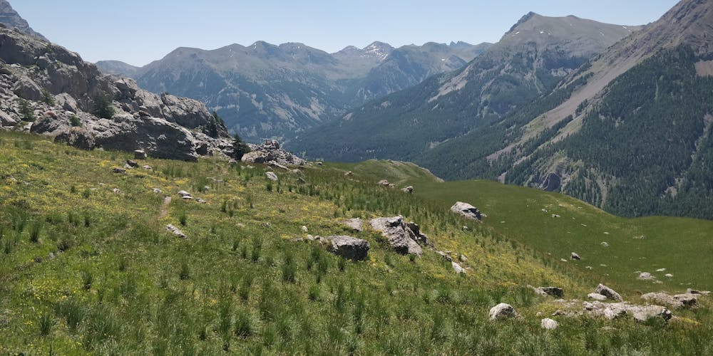
Du Sauze 1400 au Chapeau de Gendarme Face Est ; Col de Gyp ; Col de Fours
Hiking Moderate
- Distance
- 22 km
- Ascent
- 1.5 km
- Descent
- 1.5 km
- Duration
- 6-7 hrs
- Low Point
- 1.4 km
- High Point
- 2.7 km
- Gradient
- 24˚

This is a popular hiking route which is generally considered to be moderate. It's remote, it features medium exposure and is typically done between May and October. From a low point of 1.4 km to the maximum altitude of 2.7 km, the route covers 22 km, 1548 vertical metres of ascent and 1546 vertical metres of descent.
Description
Vers Chapeau de Gendarme et Col de Fours
Difficulty
Moderate
Hiking along trails with some uneven terrain and small hills. Small rocks and roots may be present.
Medium Exposure

The trail contains some obstacles such as outcroppings and rock which could cause injury.
Remoteness
Away from help but easily accessed.
Best time to visit
Features
- Alpine
- Wildlife
- Picturesque
- Summit Hike
- Wild flowers