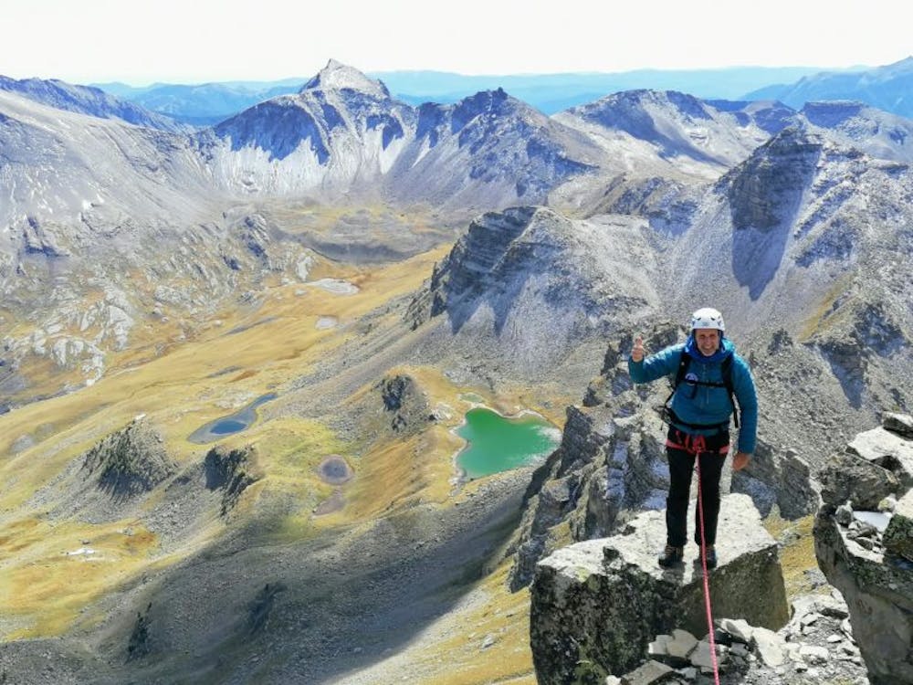
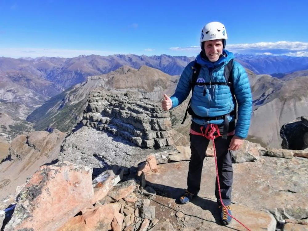
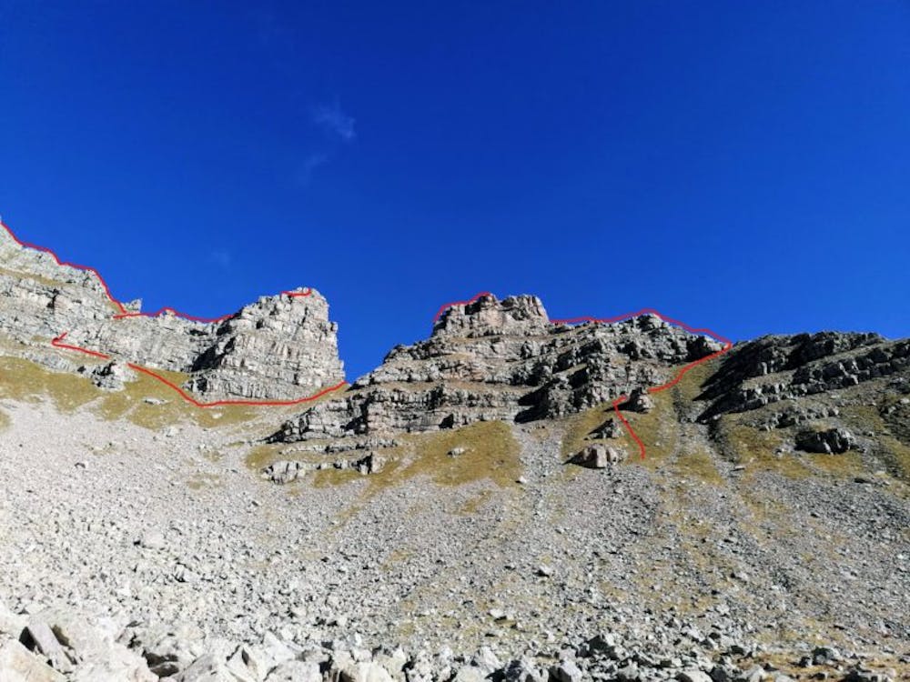
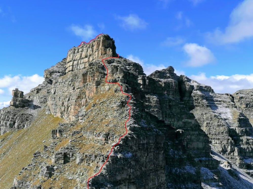
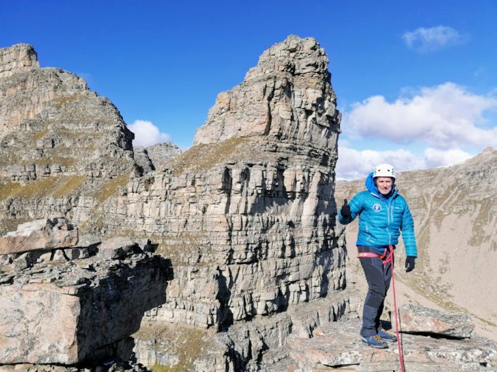
Traversée Dieudé Delfy - Fort Carra
Itinéraire d'initiation très esthétique
Alpine Climbing Easy
- Distance
- 7.2 km
- Ascent
- 634 m
- Descent
- 947 m
- Low Point
- 2 km
- High Point
- 2.8 km
- Gradient
- 27˚

This is a popular alpine climbing route which is generally considered to be easy. It's remote, it features medium exposure and is typically done between June and October. From a low point of 2 km to the maximum altitude of 2.8 km, the route covers 7.2 km, 634 vertical metres of ascent and 947 vertical metres of descent. You'll need wires and friends to complete it safely.
- •
- •
- •
- •
- •
- •
- •
- •
- •
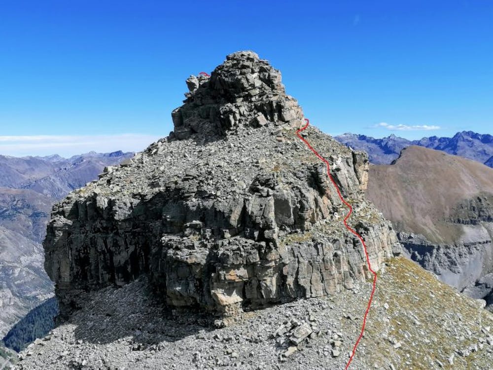
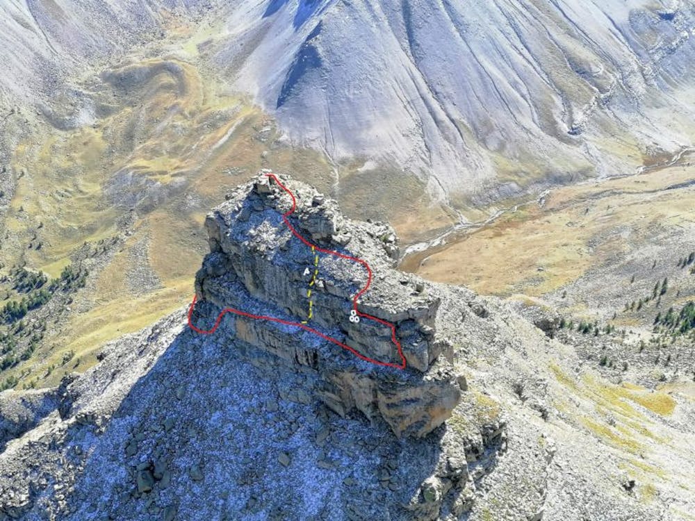
Description
Le topo est consultable sur le site www.guides06.com
Difficulty
Easy
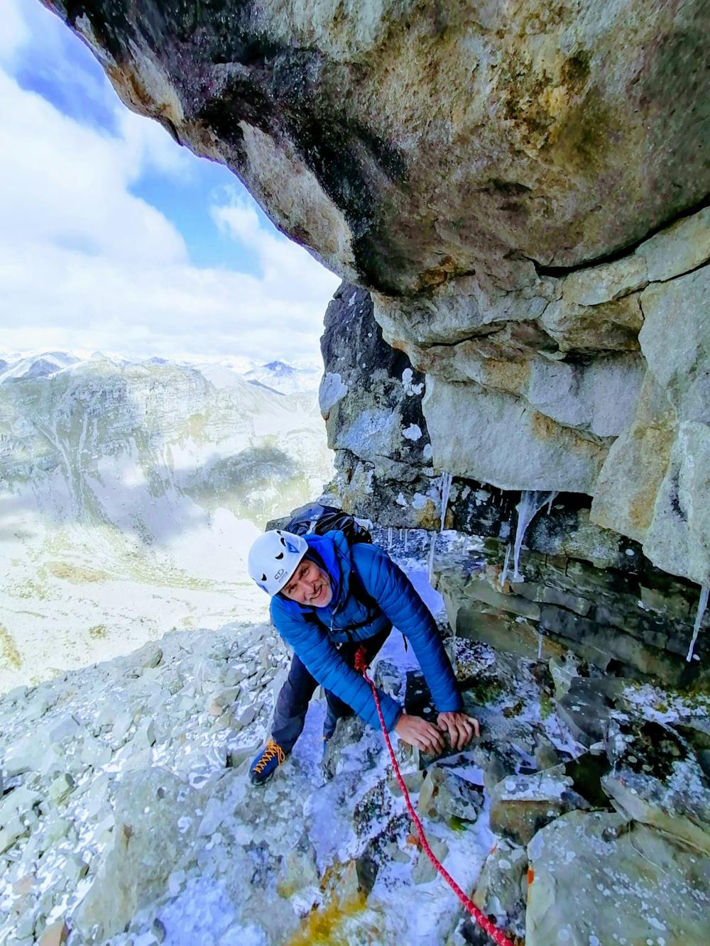
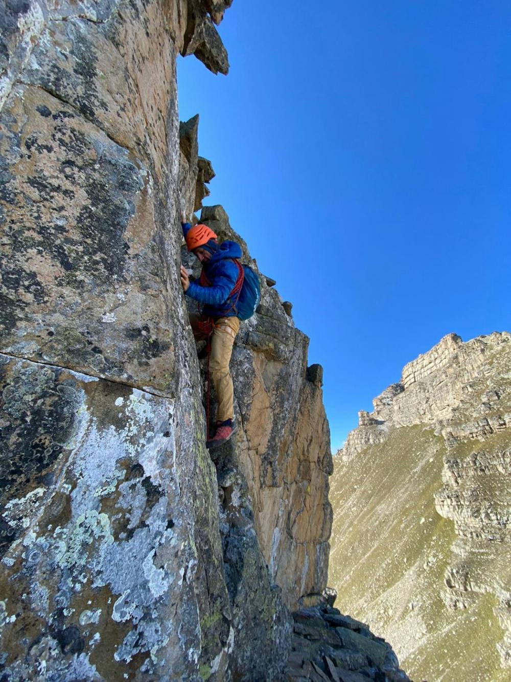
The ascent involves simple glacier hiking and/or short, straightforward rock scrambles. Equivalent to Alpine F, F+
Medium Exposure

The route features some exposed and/or difficult to protect sections.
Remoteness
Away from help but easily accessed.
Best time to visit
Equipment required
- Wires and Friends