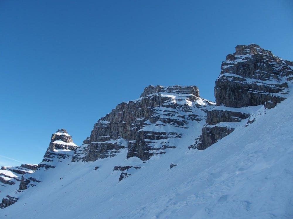
Pointe Cote de l'Ane et Sanguinereitte - Couloirs N
Two main summits of this massif, linked together by a beautiful arrete and two couloirs.
Ski Touring Severe
- Distance
- 10 km
- Ascent
- 1.4 km
- Descent
- 1.4 km
- Duration
- 6-7 hrs
- Low Point
- 2 km
- High Point
- 2.9 km
- Gradient
- 54˚

From the refuge de Gialorgues; long traverse to the Pointe Cote de l'Ane (secondary summit) through a very remote and quiet valley. A first couloir leads to the mythic Trou de l'Ane. A beautiful arrete leads to the summit of Sanguinerette. A quite steep and narrow couloirs finishes this long and great journey.
Difficulty
Severe
Steep skiing at 38-45 degrees. This requires very good technique and the risk of falling has serious consequences.
Medium Exposure (E2)

As well as the slope itself, there are some obstacles (such as rock outcrops) which could aggravate injury.
Remoteness
Away from help but easily accessed.
Best time to visit
Features
- Couloir
- Ski Mountaineering
Equipment required
- Skins
- Crampons