e-TDT 14k
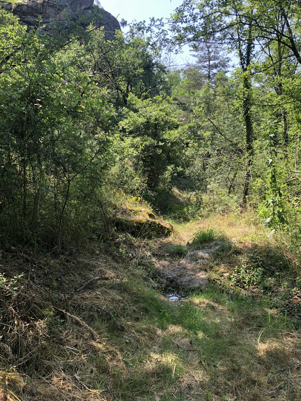
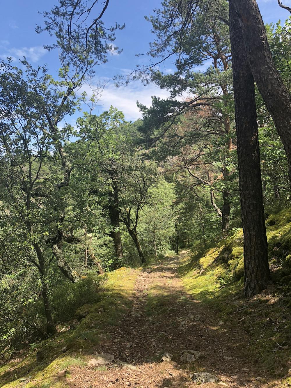
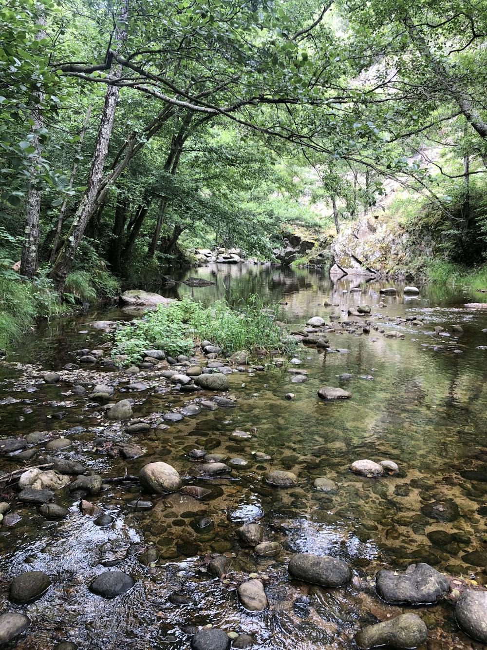
Wild trail running in woods and rocks
Trail Running Moderate
- Distance
- 14 km
- Ascent
- 660 m
- Descent
- 660 m
- Duration
- 2-3 hrs
- Low Point
- 239 m
- High Point
- 499 m
- Gradient
- 8˚

This is a popular trail running route which is generally considered to be moderate. It's not remote, it features medium exposure and is typically done between April and October. From a low point of 239 m to the maximum altitude of 499 m, the route covers 14 km, 660 vertical metres of ascent and 660 vertical metres of descent.
- •
- •
- •
Description
up & down on 14km around the local rivers on varied terrains
Difficulty
Moderate
Medium Exposure

The trail contains some obstacles such as outcroppings and rock which could cause injury.
Remoteness

Close to help in case of emergency.