e-TDT 7k
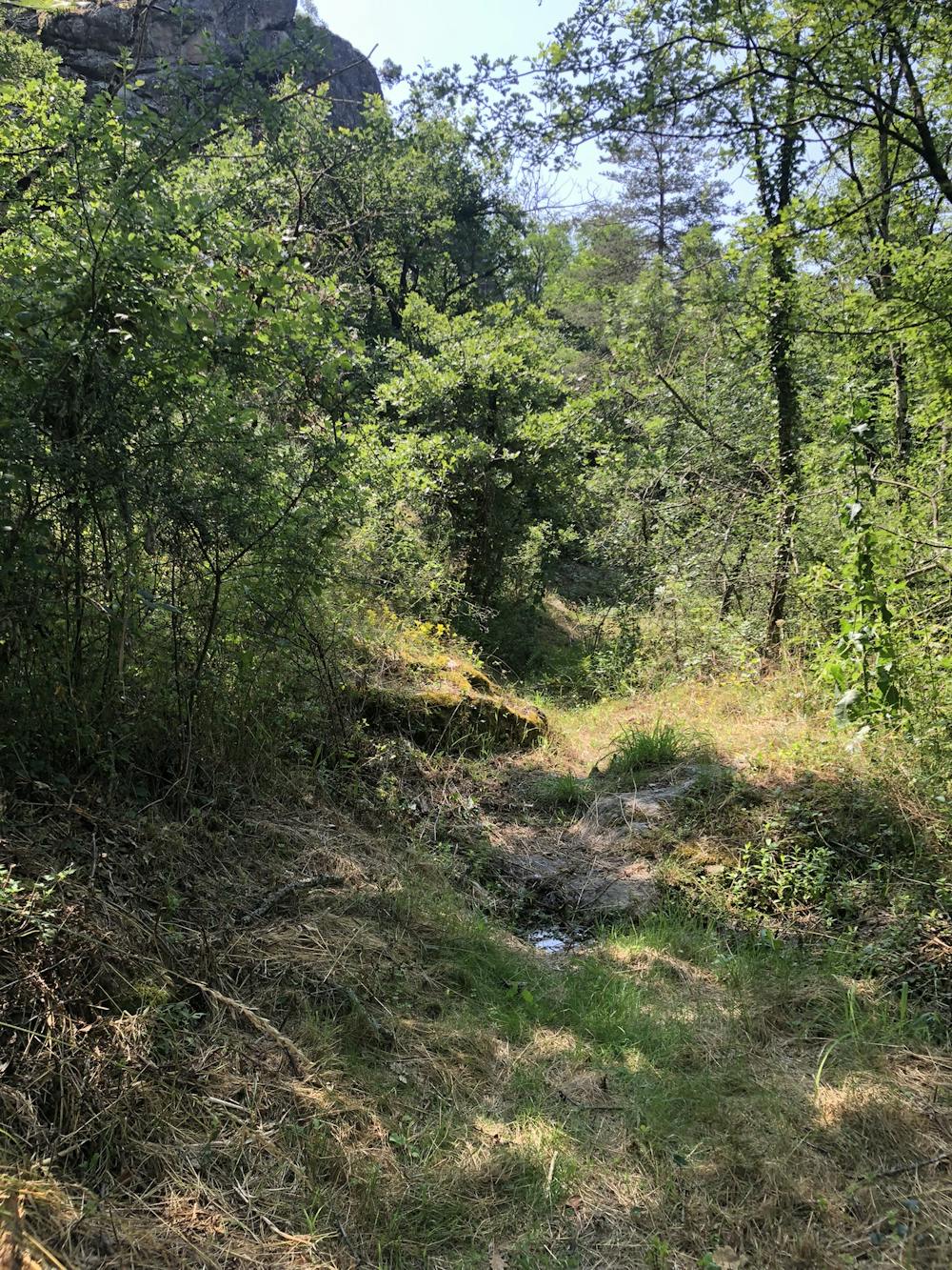
Wild trail running in woods
Trail Running Moderate
- Distance
- 7.2 km
- Ascent
- 291 m
- Descent
- 291 m
- Duration
- 1-2 hrs
- Low Point
- 344 m
- High Point
- 499 m
- Gradient
- 7˚

This is a popular trail running route which is generally considered to be moderate. It's remote, it features medium exposure and is typically done between March and October. From a low point of 344 m to the maximum altitude of 499 m, the route covers 7.2 km, 291 vertical metres of ascent and 291 vertical metres of descent.
Description
up & down on 7km
Difficulty
Moderate
Medium Exposure

The trail contains some obstacles such as outcroppings and rock which could cause injury.
Remoteness
Away from help but easily accessed.