Une p'tite itinérance à VTT du côté d'Aubazine
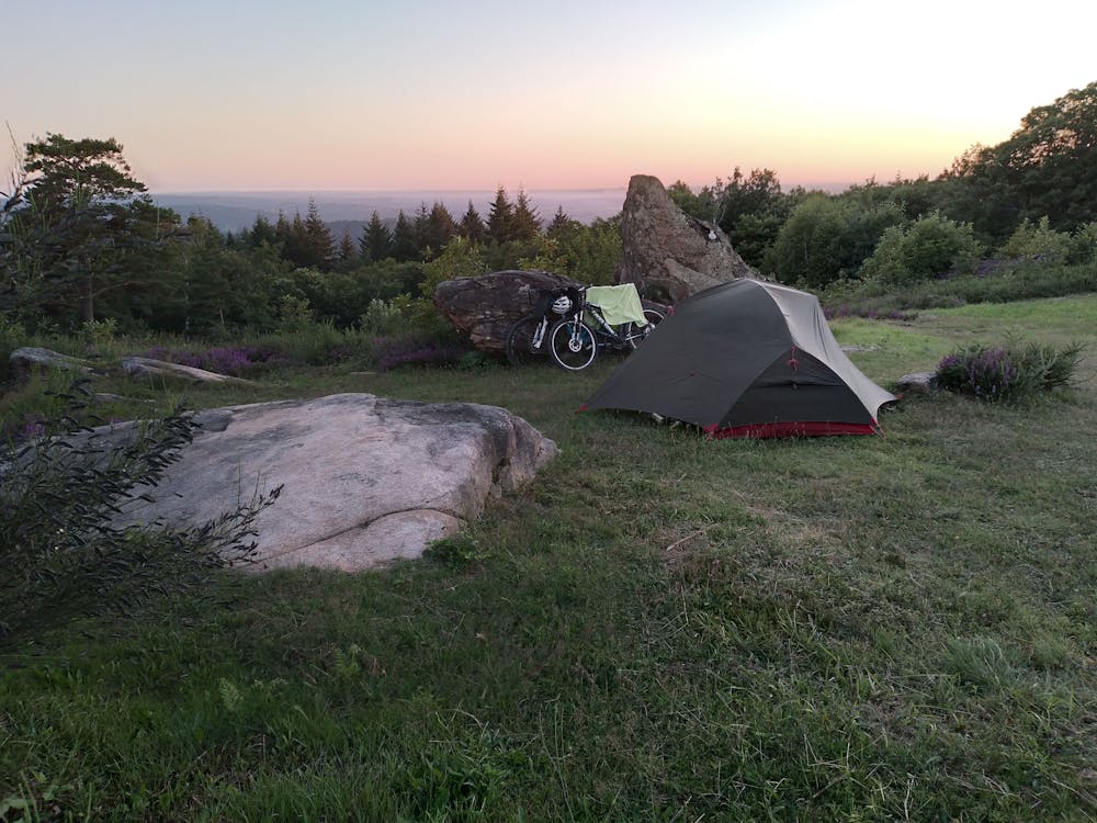
Balade sur 2 jours avec bivouac au Puy de Pauliac (524 m)
Mountain Biking Moderate
- Distance
- 57 km
- Ascent
- 1.4 km
- Descent
- 1.4 km
- Duration
- 5-6 hrs
- Low Point
- 115 m
- High Point
- 517 m
- Gradient
- 9˚
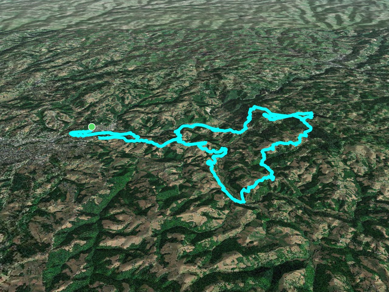
This is a popular mountain biking route which is generally considered to be moderate. It's not remote, it features low exposure and is typically done all year round. From a low point of 115 m to the maximum altitude of 517 m, the route covers 57 km, 1440 vertical metres of ascent and 1440 vertical metres of descent.
- •
- •
- •
Description
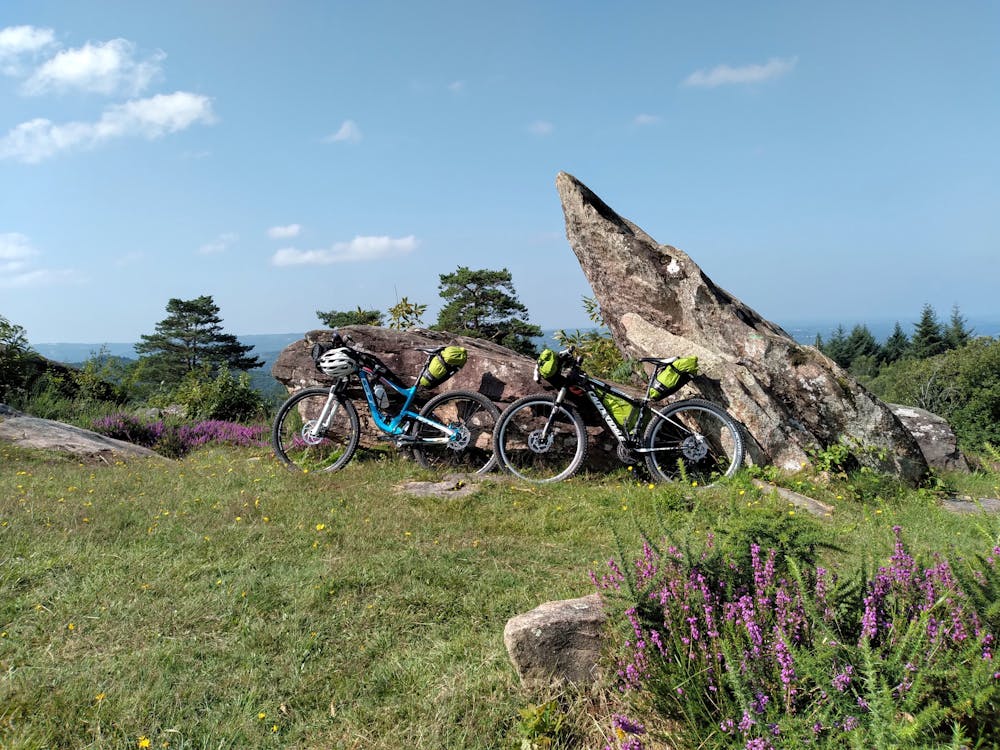
Une belle balade à VTT à dominante route, dans le secteur d'Aubazine avec quelques passages sur sentiers. Bivouac magnifique au Puy de Pauliac (524 m)
Difficulty
Moderate
Mostly stable trail tread with some variability, with unavoidable obstacles 8in/20cm tall or less. Other obstacles such as rock gullies and steep sections may exist. Ideal for lower intermediate riders.
Low Exposure

The path is on completely flat land and potential injury is limited to falling over.
Remoteness
Close to help in case of emergency.
Best time to visit
Features
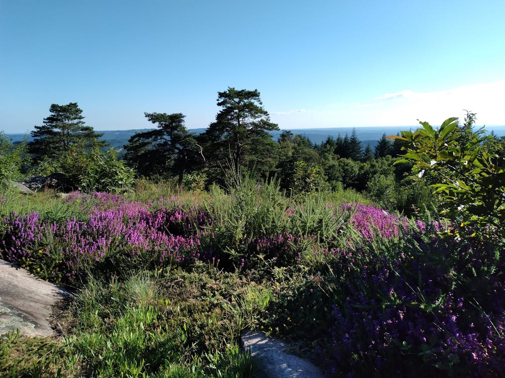
- Picturesque
- In the forest
- Road sections