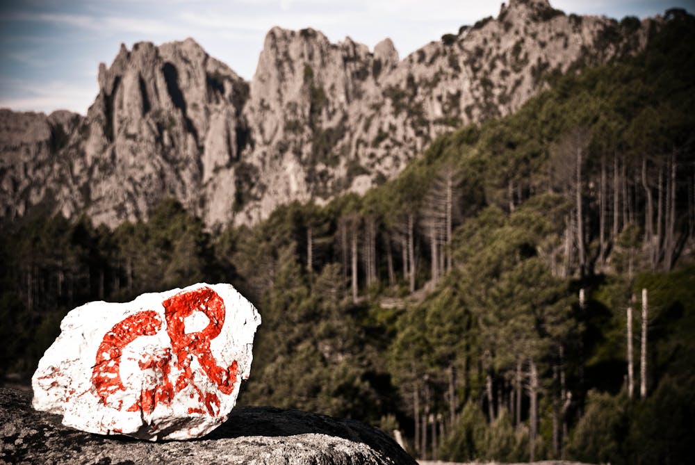
GR20
Corsica
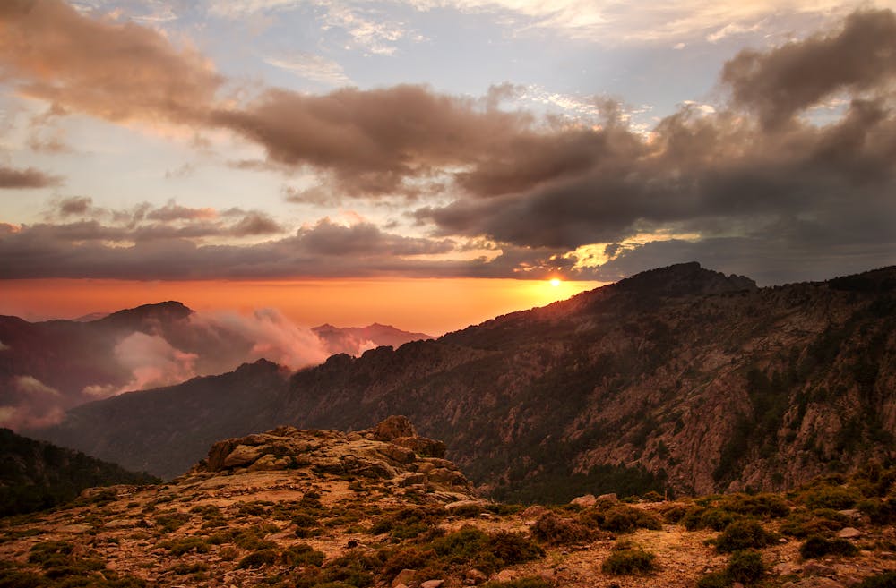
Considered to be one of the best and toughest long hikes in Europe, this 180 kilometre hike is a magnificent journey down the spine of Corsica.
Hiking Difficult
- Distance
- 23 km
- Ascent
- 700 m
- Descent
- 1.8 km
- Duration
- 5-6 hrs
- Low Point
- 41 m
- High Point
- 1.2 km
- Gradient
- 15˚

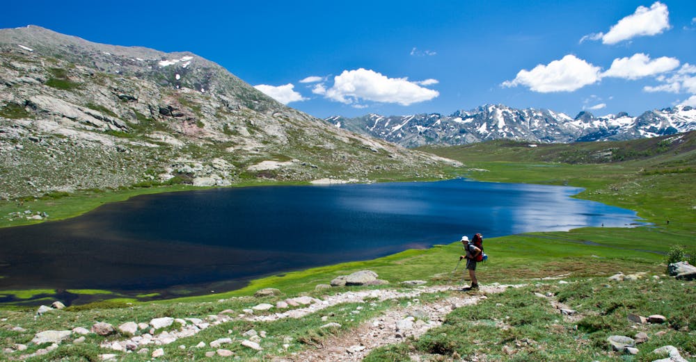
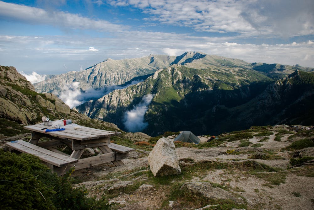
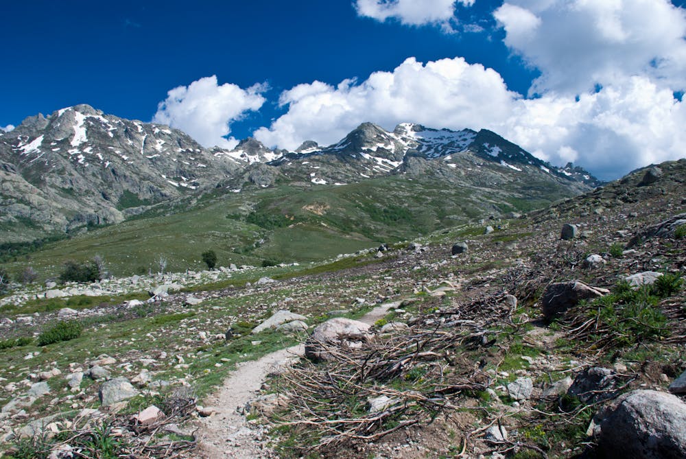
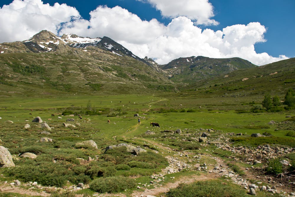
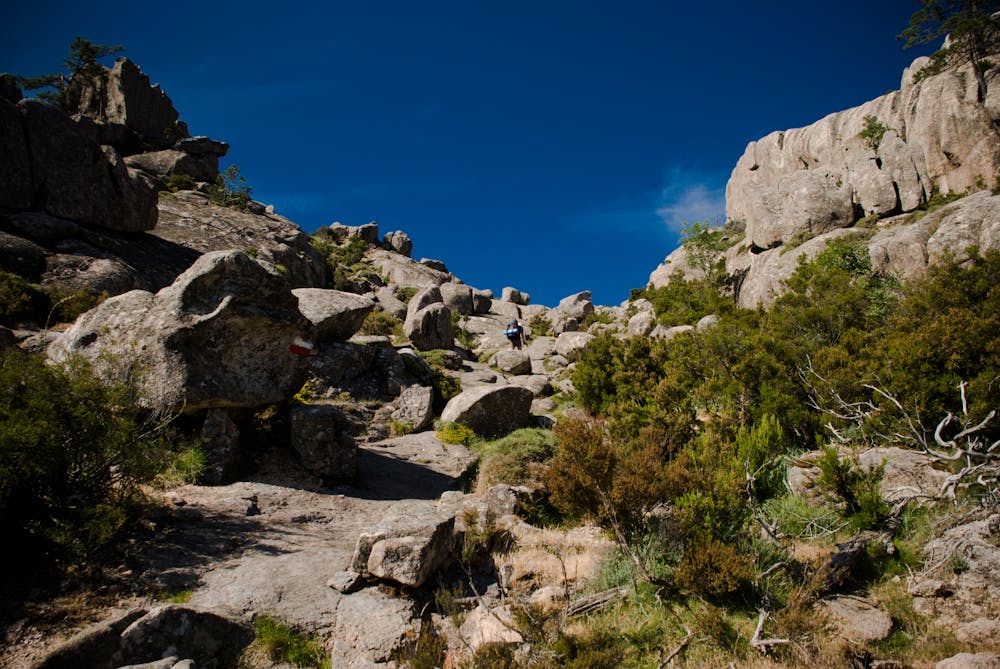
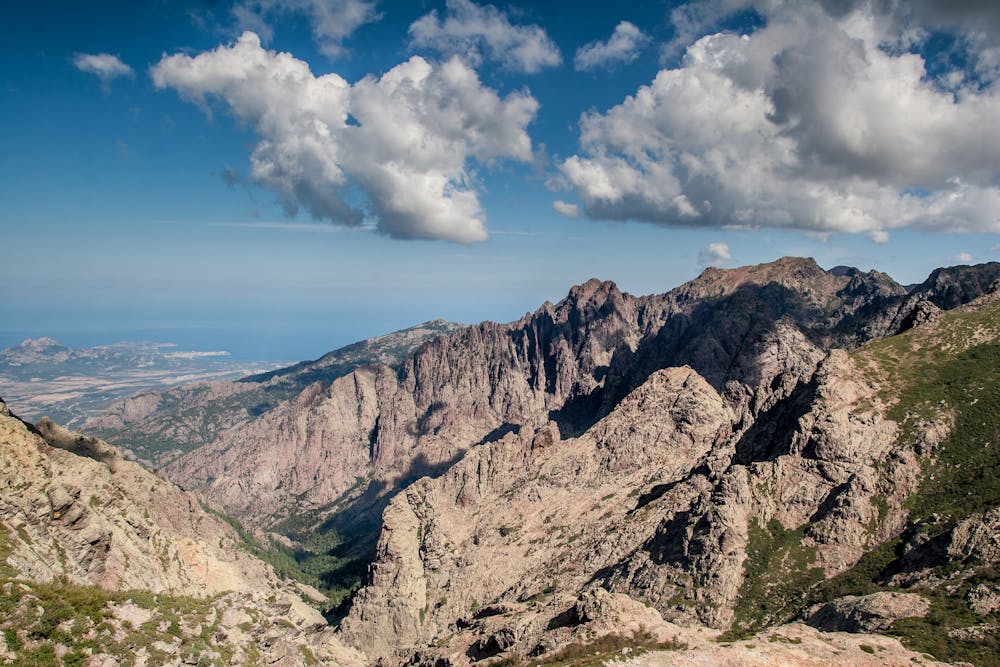
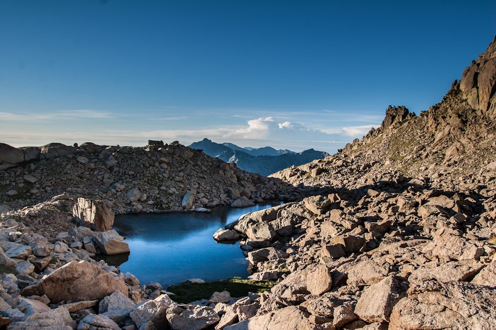
Generally done from Calenzana in the north of Corsica to Conca in the south of the island, the mountainous nature of this hike (it follows the mountainous ridge that forms the spine of Corsica) means that hikers generally take between 5 and 15 days to complete it. Incredibly, it has been done in 31 hours! The terrain is rugged but the trail is clear and exceptionally well marked, meaning that fit hikers can do this route without requiring any climbing skills or equipment. There are various tactics for tackling the route, from unsupported wild camping through to the lightweight approach maximising the use of mountain huts. The huts are generally quite busy during peak season but they do allow camping close by so a combination of eating/sleeping in some huts and camping close to others seems like a reasonable compromise. Wild camping away from the huts is not permitted but some hikers do choose this option and, provided they leave no trace of their camping, seem to be tolerated. The hiking itself is physically hard, with plenty of up and down all the way, and for those with sufficient energy there is also the option of detouring to Monte Cinto, the highest mountain on Corsica at 2706 metres. One major upside to the hike is that it passes many excellent wild swimming spots, from small lakes to rivers and plunge pools, so cooling down is never too tough! Corsica being an island, there are also plenty of good spots to swim in the Mediterranean Sea when your trip is done and you are enjoying your success!

- •
- •
- •
- •
- •
- •
- •
- •
- •
- •
Difficulty
Difficult
Hiking trails where obstacles such as rocks or roots are prevalent. Some obstacles can require care to step over or around. At times, the trail can be worn and eroded. The grade of the trail is generally quite steep, and can often lead to strenuous hiking.