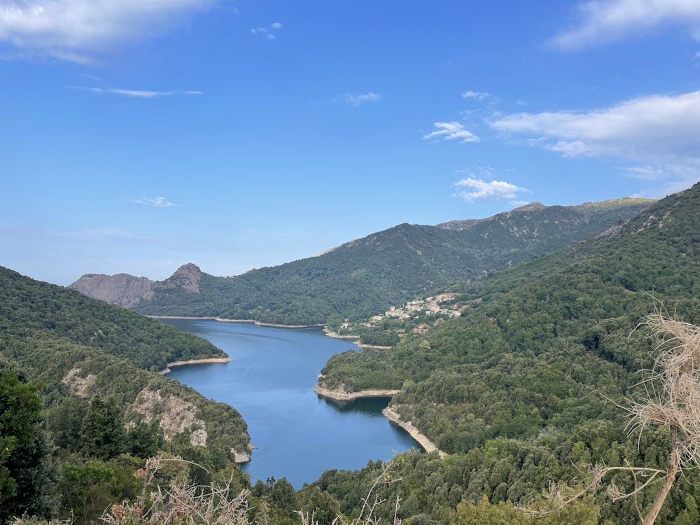
Lac de Tolla et Gorges du Prunelli [ROUTE]
Corsica
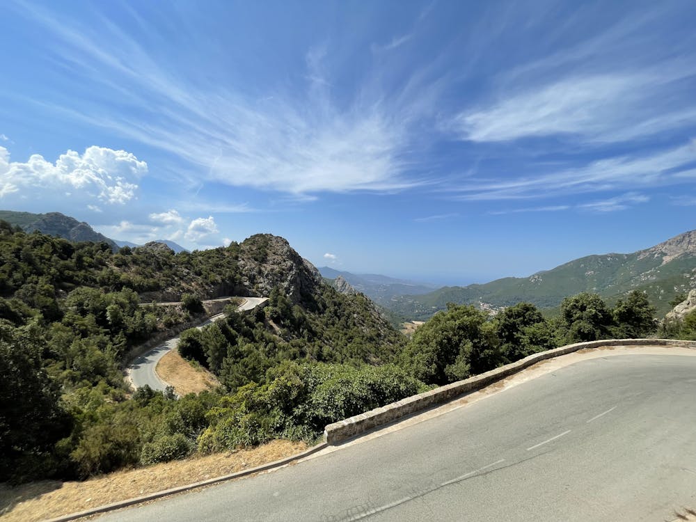
Une belle balade montante sur route en Corse du Sud à faire le matin
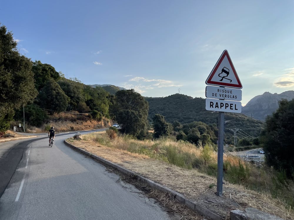
Mountain Biking Difficult
- Distance
- 59 km
- Ascent
- 1.3 km
- Descent
- 1.3 km
- Duration
- 5-6 hrs
- Low Point
- 2 m
- High Point
- 722 m
- Gradient
- 5˚
![Lac de Tolla et Gorges du Prunelli [ROUTE] Map](https://fatmap-adventure-screenshots.imgix.net/routes/3129627-blank.png?auto=compress%2Cformat)
This is a popular mountain biking route which is generally considered to be difficult. It's remote, it features low exposure and is typically done between May and October. From a low point of 2 m to the maximum altitude of 722 m, the route covers 59 km, 1335 vertical metres of ascent and 1335 vertical metres of descent.
- •
- •
- •
- •
- •
Description
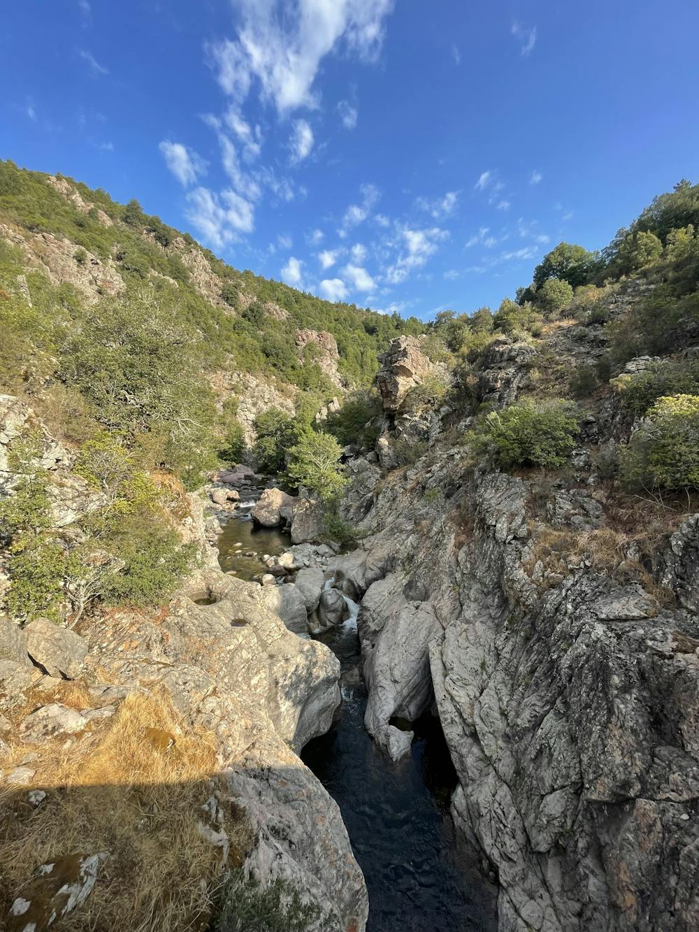
Longue montée dans la montagne corse avec une vue imprenable sur le Lac de Tolla et suite sur les Gorges du Prunelli
Difficulty
Difficult
Mostly stable trail tread with some variability featuring larger and more unavoidable obstacles that may include, but not be limited to: bigger stones, roots, steps, and narrow curves. Compared to lower intermediate, technical difficulty is more advanced and grades of slopes are steeper. Ideal for upper intermediate riders.
Low Exposure

The path is on completely flat land and potential injury is limited to falling over.
Remoteness

Away from help but easily accessed.
Best time to visit
Features
- Picturesque
- In the forest
- Road sections