De Vernes au Lac des Pises
Boucle forestiere j'usqu'au lac des Pises et son observatoire
Hiking Difficult
- Distance
- 17 km
- Ascent
- 798 m
- Descent
- 822 m
- Duration
- 4-5 hrs
- Low Point
- 669 m
- High Point
- 1.4 km
- Gradient
- 12˚

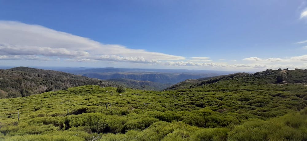
This is a popular hiking route which is generally considered to be difficult. It's very remote, it features low exposure and is typically done in April, May, June, September, October and November. From a low point of 669 m to the maximum altitude of 1.4 km, the route covers 17 km, 798 vertical metres of ascent and 822 vertical metres of descent.
Description
Boucles depuis Vernes ou Aumessas vers le Lac des Pises
Difficulty
Difficult
Hiking trails where obstacles such as rocks or roots are prevalent. Some obstacles can require care to step over or around. At times, the trail can be worn and eroded. The grade of the trail is generally quite steep, and can often lead to strenuous hiking.
Low Exposure

The path is on completely flat land and potential injury is limited to falling over.
Remoteness

Little chance of being seen or helped in case of an accident.
Best time to visit
Features
- Picturesque
- Dog friendly
- Wild flowers
- Water features
- Family friendly
- Forestry or heavy vegetation