Circuit de Cénac
a huge loop near home
Mountain Biking Severe
- Distance
- 31 km
- Ascent
- 570 m
- Descent
- 570 m
- Duration
- 2-3 hrs
- Low Point
- 5 m
- High Point
- 87 m
- Gradient
- 4˚

This is a popular mountain biking route which is generally considered to be severe. It's not remote, it features medium exposure and is typically done between May and October. From a low point of 5 m to the maximum altitude of 87 m, the route covers 31 km, 570 vertical metres of ascent and 570 vertical metres of descent.
- •
- •
- •
Description
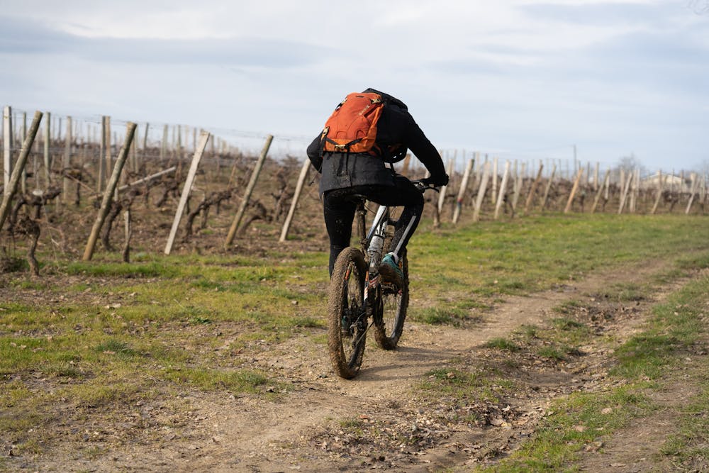
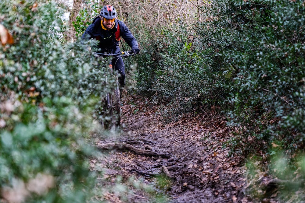
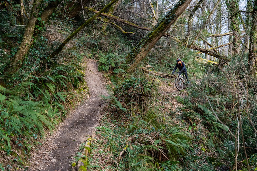
This route has a good variety of landscape. Great loop around vineyard, forest. Good D+ with great downhill and climb
Difficulty
Severe
Widely variable, narrow trail tread with steeper grades and unavoidable obstacles of 15in/38cm tall or less. Obstacles may include unavoidable bridges 24in/61cm wide or less, large rocks, gravel, difficult root sections, and more. Ideal for advanced-level riders.
Medium Exposure

The trail contains some obstacles such as outcroppings and rock which could cause injury.
Remoteness

Close to help in case of emergency.
Best time to visit
Features
- Technical
- Picturesque
- In the forest
- Wet-weather friendly
- Rock Gardens
- Wooden Feature