Moncaup - Plan de Calem (Circular)
A geological "lherzolite" experience and many more
Hiking Moderate
- Distance
- 5.4 km
- Ascent
- 299 m
- Descent
- 298 m
- Duration
- 1-2 hrs
- Low Point
- 559 m
- High Point
- 850 m
- Gradient
- 10˚

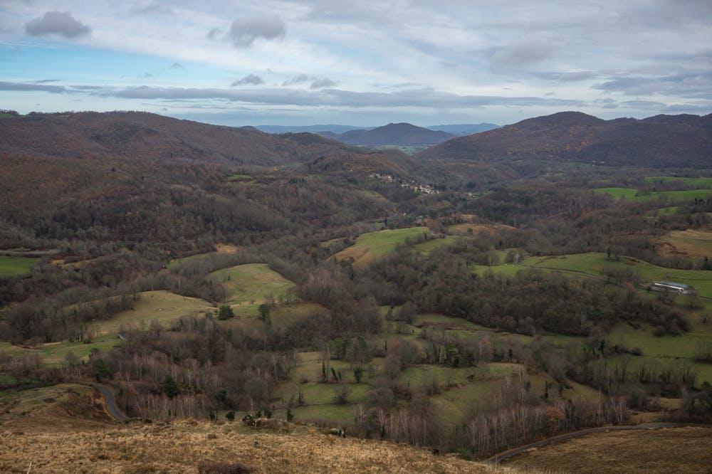
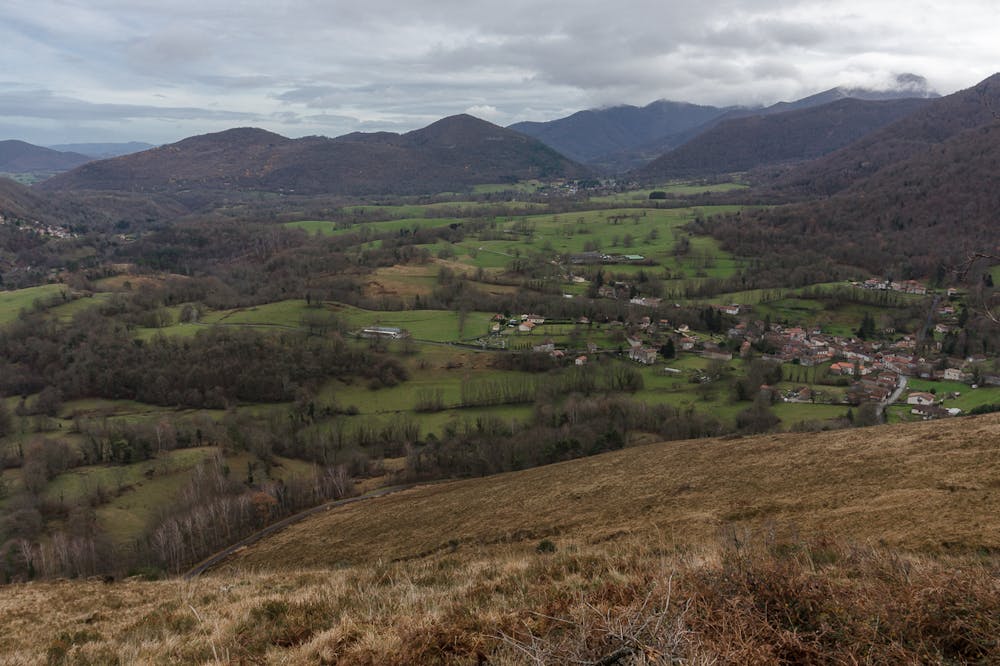
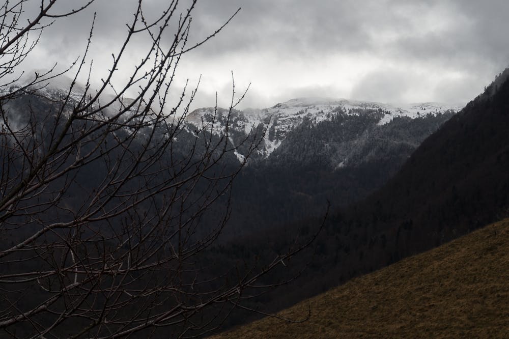
This is a popular hiking route which is generally considered to be moderate. It's not remote, it features low exposure and is typically done all year round. From a low point of 559 m to the maximum altitude of 850 m, the route covers 5.4 km, 299 vertical metres of ascent and 298 vertical metres of descent.
- •
- •
- •
Description
ENGLISH | FRANÇAIS | ESPAÑOL
EN
affleurement of lherzolite woodpeckerFR
affleurement de lherzolite pivertES
Afloramiento de herzolita pájaros carpinterosDifficulty
Moderate
Hiking along trails with some uneven terrain and small hills. Small rocks and roots may be present.
Low Exposure

The path is on completely flat land and potential injury is limited to falling over.
Remoteness
Close to help in case of emergency.
Best time to visit
Features
- Historical
- Picturesque
- Summit Hike
- Dog friendly
- Wild flowers
- Family friendly
- Forestry or heavy vegetation