Tuc de l'Étang from Le Mourtis
A simple and pleasant walk that will reward you with beautiful views
Hiking Moderate
- Distance
- 7.3 km
- Ascent
- 434 m
- Descent
- 434 m
- Duration
- 2-3 hrs
- Low Point
- 1.4 km
- High Point
- 1.8 km
- Gradient
- 10˚

ENGLISH | FRANÇAIS | ESPAÑOL
- •
- •
- •
- •
- •
- •
Description
EN:
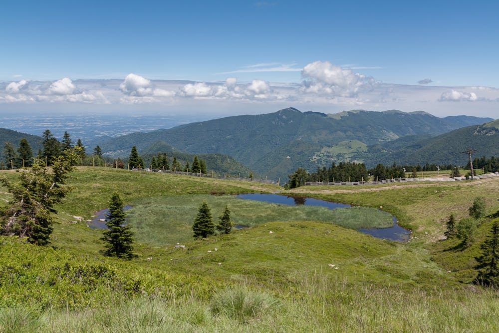
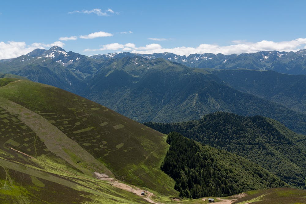
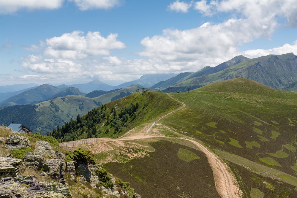
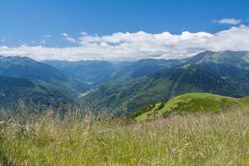
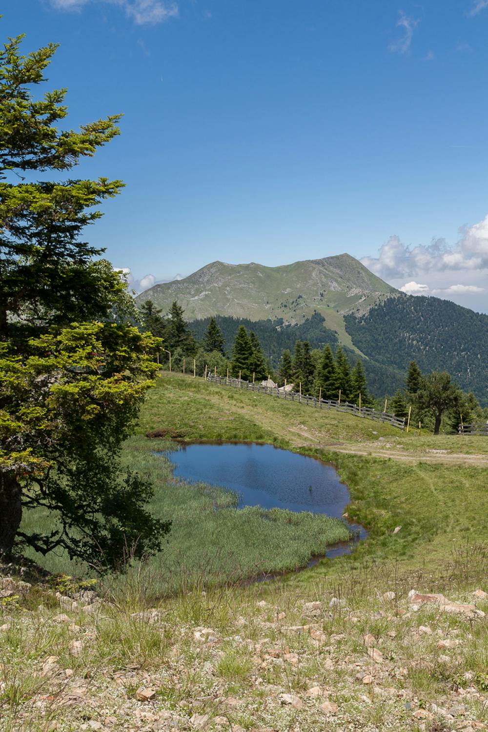
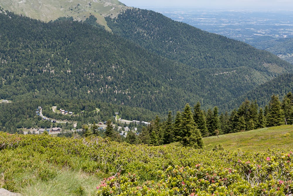
Nice walk to get amazing views from the top of the mountain over the French and Spanish valleys and the high mountains around.FR:
La route vous permettra atteindre le point culminant des Mourtis et apprécier le panorama des vallées français et espagnole et des grandes sommes pyrénéens.ES:
Sencillo paseo desde la base de las pistas de Le Mourtis hasta la zona más alta de la estación: vistas extraordinarias desde la cima sobre el bajo Arán y las cimas circundantes.Additional info here: https://www.nevasport.com/eMotion365/art/63006/rutas-pirineo-frances/
Difficulty
Moderate
Hiking along trails with some uneven terrain and small hills. Small rocks and roots may be present.
Medium Exposure

The trail contains some obstacles such as outcroppings and rock which could cause injury.
Remoteness

Close to help in case of emergency.
Best time to visit
Features
- Picturesque
- Dog friendly
- Wild flowers