Maupas par vallée du Lys et refuge LHM
Maupas sur deux jours avec nuit au refuge du Maupas
Ski Touring Difficult
- Distance
- 18 km
- Ascent
- 2 km
- Descent
- 2 km
- Duration
- 1 day +
- Low Point
- 1.1 km
- High Point
- 3 km
- Gradient
- 30˚

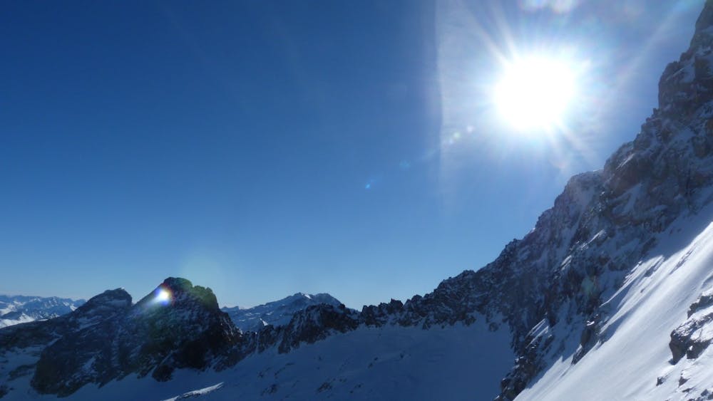
This is a popular ski touring route which is generally considered to be difficult. It's very remote, it features high exposure (e3) and is typically done in undefined. From a low point of 1.1 km to the maximum altitude of 3 km, the route covers 18 km, 1995 vertical metres of ascent and 1996 vertical metres of descent. It's graded 3.1 and Labande grade 4. You'll need skins, ice axe and crampons to complete it safely.

- •
- •
Description
Beaucoup de dénivelé (et de portage) !
Difficulty
Difficult
Serious gradient of 30-38 degrees where a real risk of slipping exists.
High Exposure (E3)

In case of a fall, death is highly likely.
Remoteness
Little chance of being seen or helped in case of an accident.
Best time to visit
Features
- Ski Mountaineering
Equipment required
- Skins
- Ice axe
- Crampons