1. Metzeral-Lac Vert
Day 1 of a five day trip in the Vosges.
Hiking Moderate
- Distance
- 17 km
- Ascent
- 1.1 km
- Descent
- 555 m
- Duration
- 5-6 hrs
- Low Point
- 473 m
- High Point
- 1.3 km
- Gradient
- 9˚

5 day trek in the vosges, 100km, 4500 elevation
- •
- •
- •
- •
Description
Passes through the highest points and most popular lakes and viewpoints of this area.
Keep in mind that wildcamping will almost always be necessary if follow these specific routes.
We took the flixbus from Brussels to Strasbourg, TGV from Strasbourg to Colmar, and a train from Colmar to Metzeral
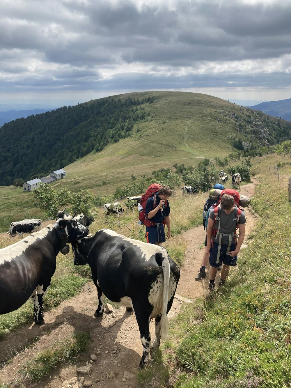
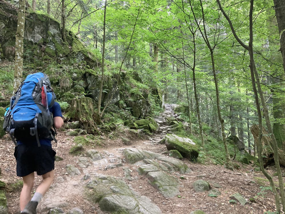
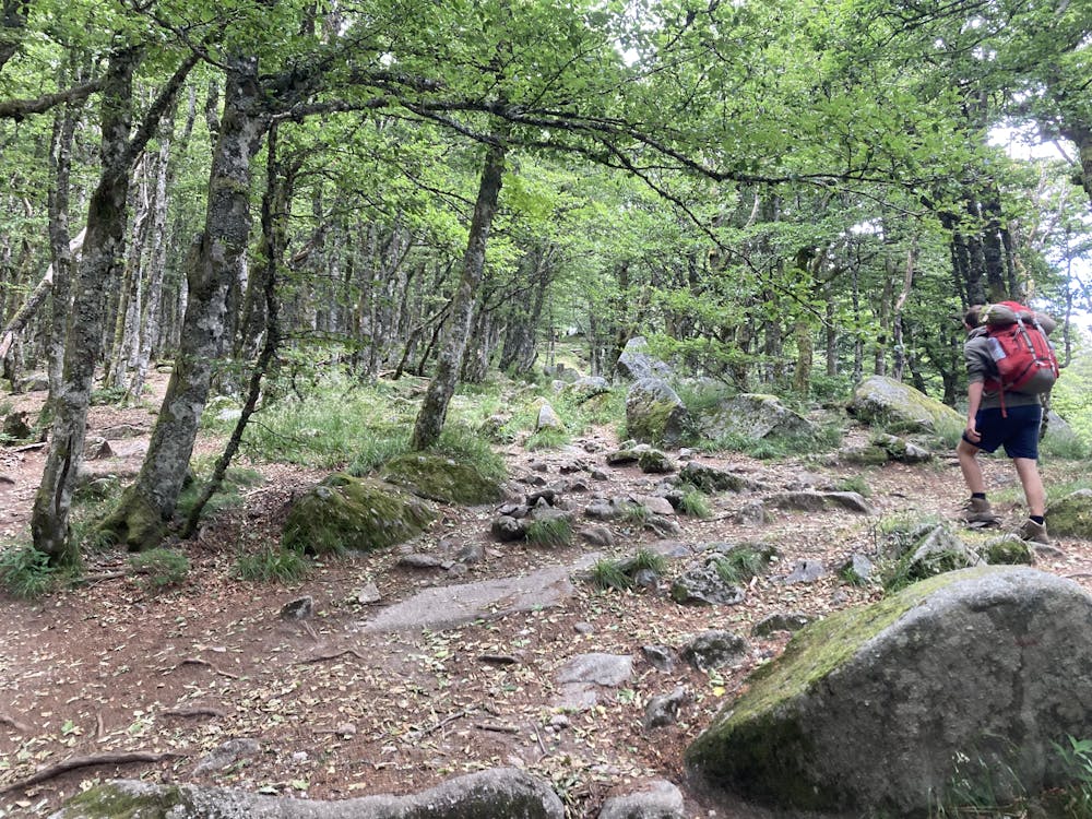
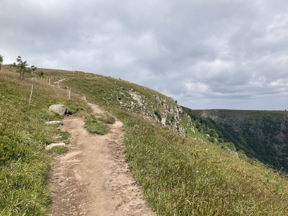
Day 1, Metzeral - Lac Vert
You start by "the Hohneck" and walk past "La Schlucht". You leave the ridge at you left and walk through the Forest to "Lac Vert"
Difficulty
Moderate
Hiking along trails with some uneven terrain and small hills. Small rocks and roots may be present.
Medium Exposure

The trail contains some obstacles such as outcroppings and rock which could cause injury.
Remoteness

Close to help in case of emergency.
Best time to visit
Features
- Water features