2. Lac vert- La schlucht
Day 2 of the 5-day trekking in the Vosges.
Also in Vosges, France
Hiking Moderate
- Distance
- 22 km
- Ascent
- 1.1 km
- Descent
- 1 km
- Duration
- 6-7 hrs
- Low Point
- 952 m
- High Point
- 1.3 km
- Gradient
- 13˚

This is a popular hiking route which is generally considered to be moderate. It's not remote, it features medium exposure and is typically done between April and October. From a low point of 952 m to the maximum altitude of 1.3 km, the route covers 22 km, 1127 vertical metres of ascent and 1045 vertical metres of descent.
- •
- •
- •
- •
- •
- •
Description
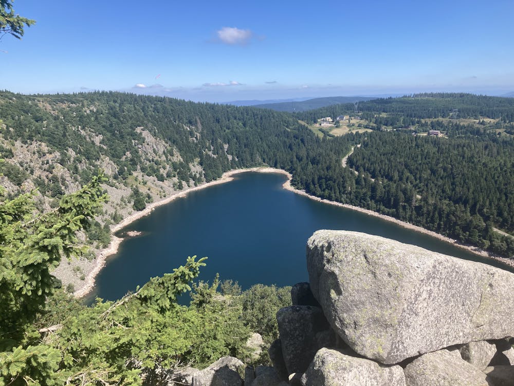
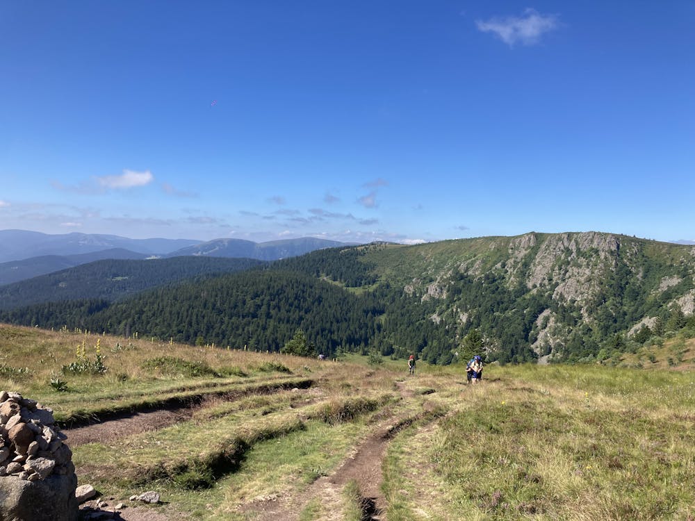
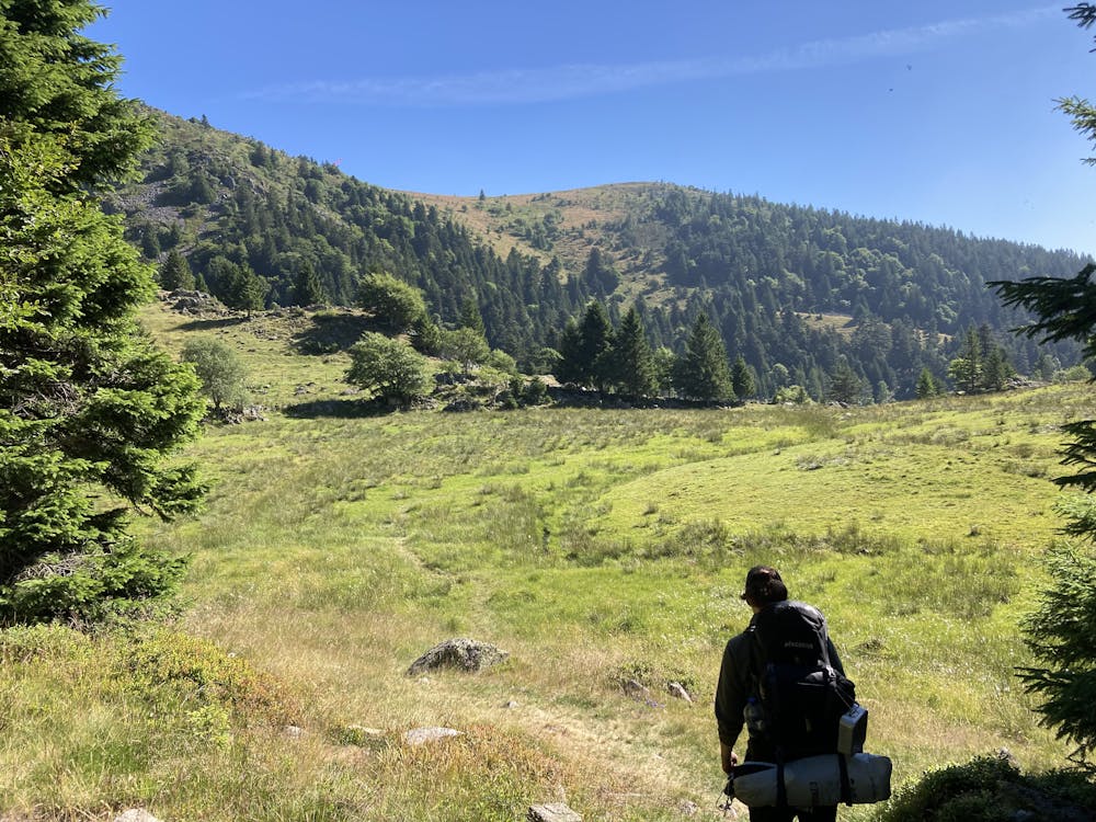
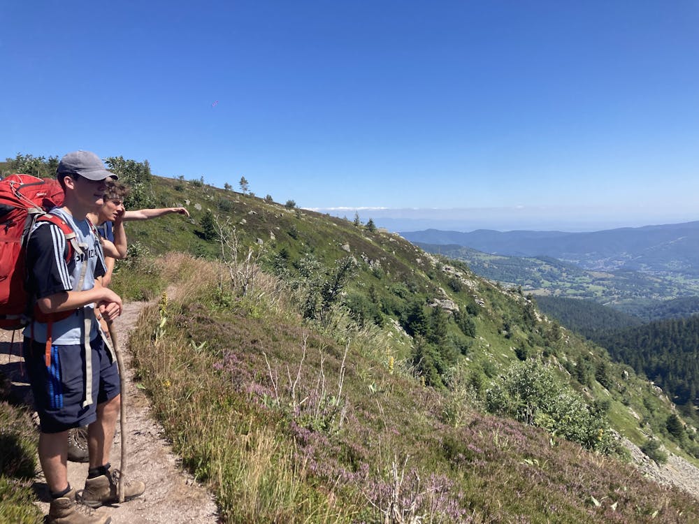
You start at "Lac Vert", and walk via "Lac Noir" to "Lac Blanc" (which is the most scenic). The route continues with a heavy ascend to the plateau like ridge , from know on no more heavy ascend.
Difficulty
Moderate
Hiking along trails with some uneven terrain and small hills. Small rocks and roots may be present.
Medium Exposure

The trail contains some obstacles such as outcroppings and rock which could cause injury.
Remoteness

Close to help in case of emergency.
Best time to visit
Features
- Water features