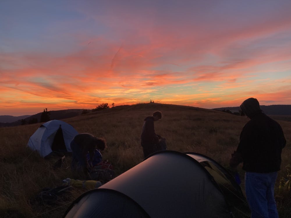
3. La Schlucht-Le Markstein
Day 3 of a five day trekking in the Vosges.
Also in Vosges, France
Hiking Moderate
- Distance
- 20 km
- Ascent
- 695 m
- Descent
- 648 m
- Duration
- 5-6 hrs
- Low Point
- 1.1 km
- High Point
- 1.3 km
- Gradient
- 10˚

This is a popular hiking route which is generally considered to be moderate. It's not remote, it features medium exposure and is typically done between April and September. From a low point of 1.1 km to the maximum altitude of 1.3 km, the route covers 20 km, 695 vertical metres of ascent and 648 vertical metres of descent.
- •
- •
- •
- •
Description
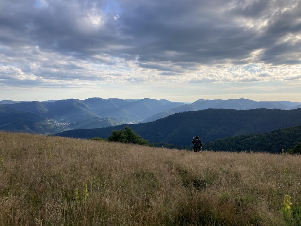
A route with more moderate elevation. You stay at relatively high altitude and watch beautiful scenery all day.
Difficulty
Moderate
Hiking along trails with some uneven terrain and small hills. Small rocks and roots may be present.
Medium Exposure

The trail contains some obstacles such as outcroppings and rock which could cause injury.
Remoteness

Close to help in case of emergency.