4. Le Markstein- Linthal
Day 4 of the 5 day trekking in the Vosges.
Hiking Moderate
- Distance
- 19 km
- Ascent
- 617 m
- Descent
- 1.3 km
- Duration
- 4-5 hrs
- Low Point
- 458 m
- High Point
- 1.4 km
- Gradient
- 11˚

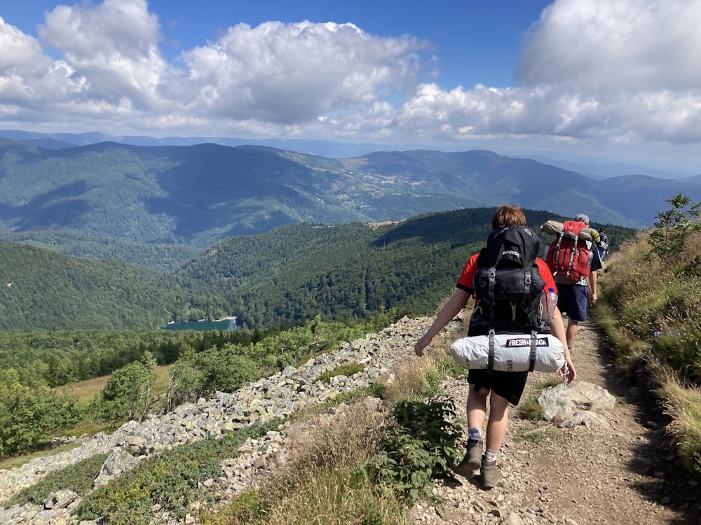
This is a popular hiking route which is generally considered to be moderate. It's not remote, it features medium exposure and is typically done between April and October. From a low point of 458 m to the maximum altitude of 1.4 km, the route covers 19 km, 617 vertical metres of ascent and 1333 vertical metres of descent.
- •
- •
- •
Description
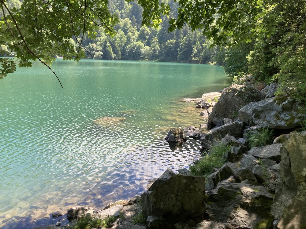
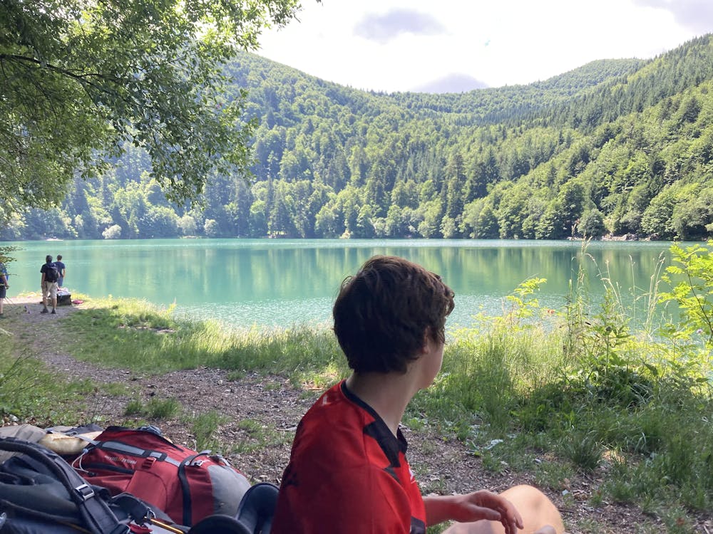
This route starts in "Le Markstein" and passes "Le Grand Ballon" (highest point of the Vosges). Afterwards you descend to the little village linthal. Swim at "Lac Du Ballon"
Difficulty
Moderate
Hiking along trails with some uneven terrain and small hills. Small rocks and roots may be present.
Medium Exposure

The trail contains some obstacles such as outcroppings and rock which could cause injury.
Remoteness

Close to help in case of emergency.
Best time to visit
Features
- Summit Hike
- Water features