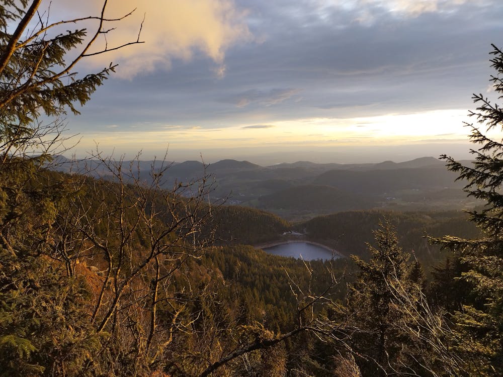
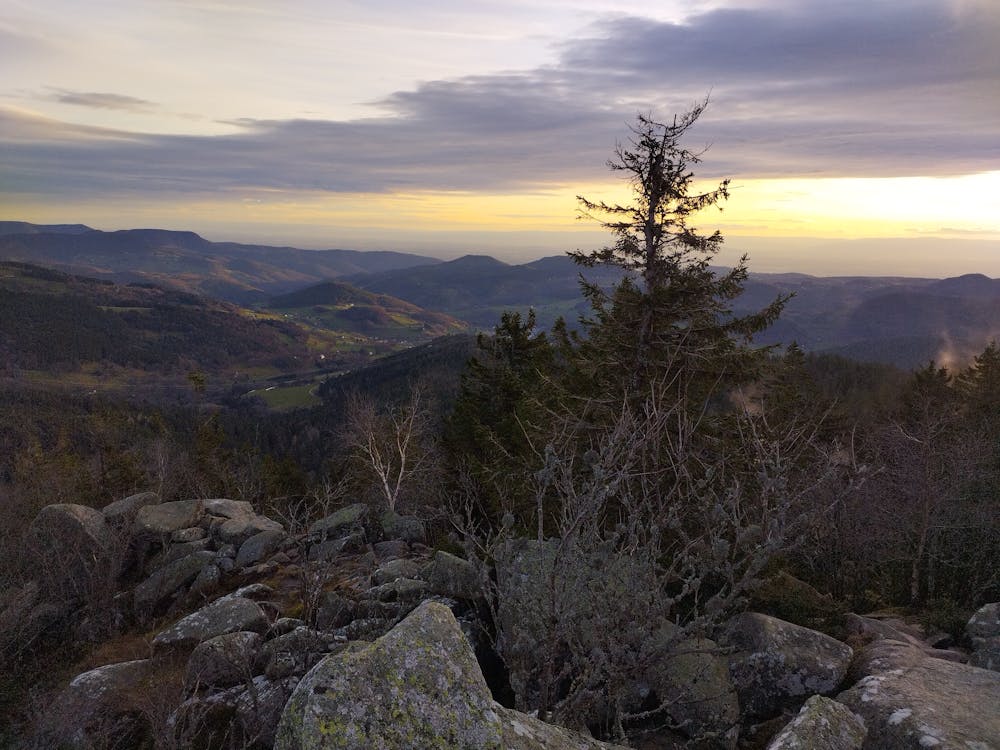
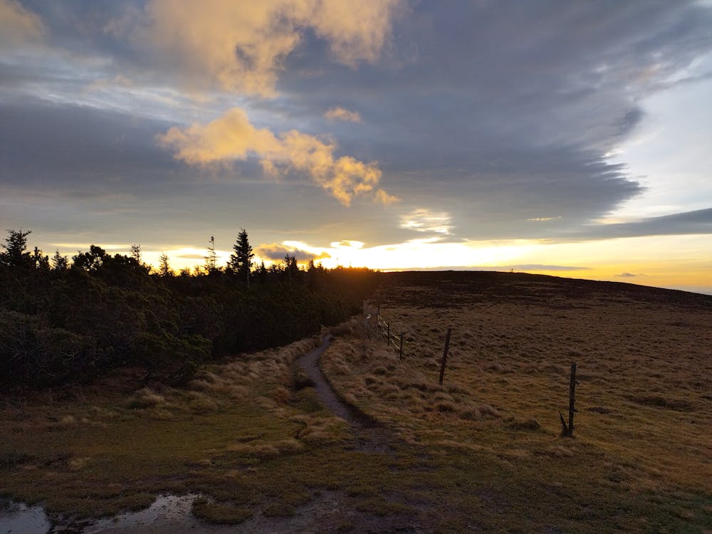
Les 4 Lacs
Lac Blanc, Lac Noir, Lac des Truites et Lac Vert
Trail Running Difficult
- Distance
- 11 km
- Ascent
- 561 m
- Descent
- 565 m
- Duration
- 1-2 hrs
- Low Point
- 1.1 km
- High Point
- 1.3 km
- Gradient
- 15˚

This is a popular trail running route which is generally considered to be difficult. It's not remote, it features medium exposure and is typically done between April and October. From a low point of 1.1 km to the maximum altitude of 1.3 km, the route covers 11 km, 561 vertical metres of ascent and 565 vertical metres of descent.
- •
- •
- •
Description
Lac Blanc, Lac Noir, Lac des Truites et Lac Vert
Difficulty
Difficult
Medium Exposure

The trail contains some obstacles such as outcroppings and rock which could cause injury.
Remoteness

Close to help in case of emergency.