Chamonix Cross Country Ski Track
Chamonix
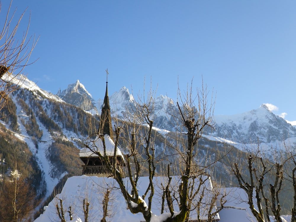
A great loop beneath some magnificent scenery.
Cross Country Skiing Easy
- Distance
- 6.3 km
- Ascent
- 80 m
- Descent
- 80 m
- Duration
- 0-1 hrs
- Low Point
- 1 km
- High Point
- 1.1 km
- Gradient
- 9˚

Taking in some of the best views in the Alps, quiet forests and wide open fields, this is a great little adventure.
Description
The route begins at the north-eastern end of Chamonix town centre and begins with a long straight through a large field which serves as the paragliding landing area. At the far end of the field the track enters the trees and for the rest of the way it goes in and out of the forest. The route passes south of the village of Les Praz and then loops around and begins heading back into Chamonix.
There are plenty of little extra loops to add to this route so if, having completed this line, you still haven't had enough, there is plenty more to explore.
Difficulty
Easy