5.7 km away
Pointe Percée
Scramble/climb up a relatively technical ascent to the top of Pointe Percée.
Extreme Hiking
- Distance
- 9.1 km
- Ascent
- 1.1 km
- Descent
- 1.1 km
A classic lake and summit combination.
Hiking Severe

If you’re not a fan of out-and-back hikes, this off-the-beaten-track route taking you to Aiguille Verte via Lac de Lessy should definitively appeal to you.

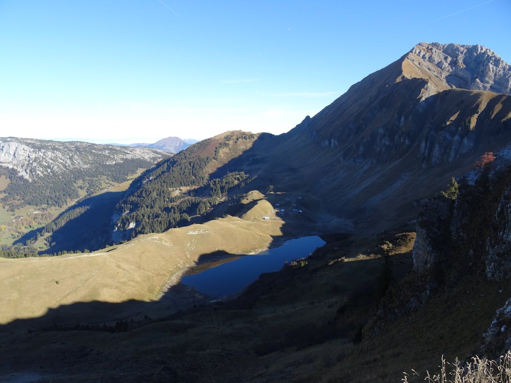
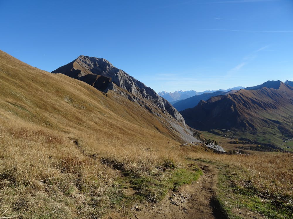
After following a large dirt road for a while, a narrower and steeper trail will take you to Planay. Another short descent and climb later, you’ll reach col de Forclaz where you will be in view of Lac de Lessy.
You can either pass the lake by taking the left trail, should you want to visit the refuge, or take a shortcut with the right trail to immediately start your climb towards the col.
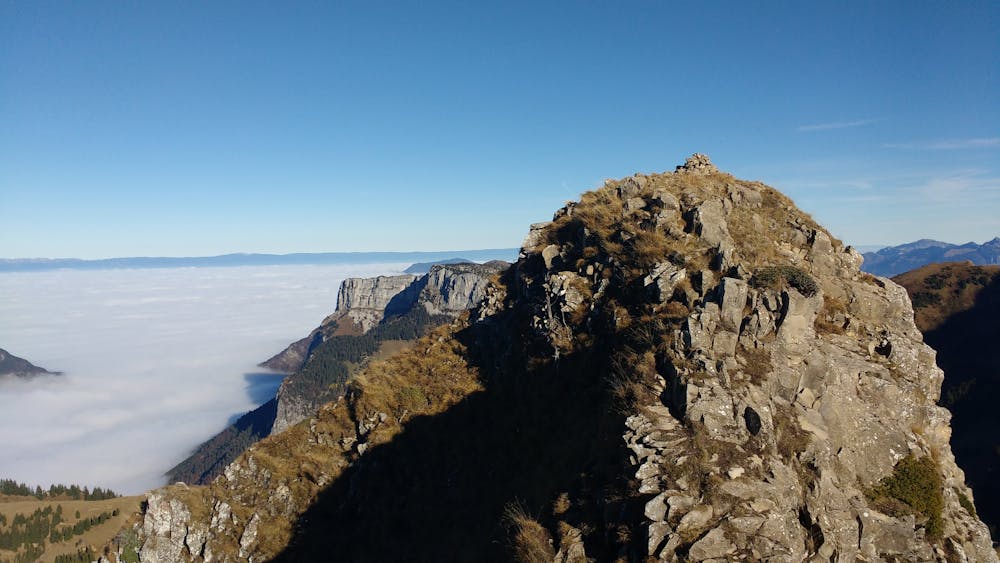
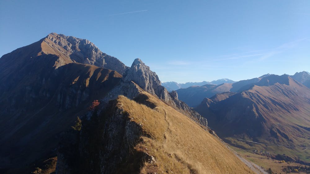
From there, the summit is reached by following the ridgeline on a trail at times technical and exposed. The final 10m of the climb are a bit trickier but can be avoided at no cost, since the view from the actual top is not that different from what it is just below.
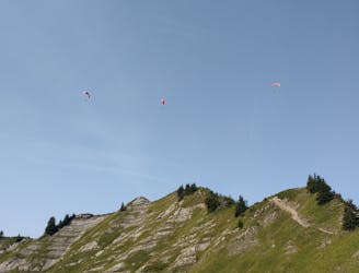
From your vantage point, you’ll be able to take in the Aravis range on one side and the lake on the other, as well as the neighbouring peaks of the Bargy range.
The descent is initially quite steep but gradually eases off until you reach the pastures, at which point an easy walk will be all that’s left between you and your car.
Severe
Hiking challenging trails where simple scrambling, with the occasional use of the hands, is a distinct possibility. The trails are often filled with all manner of obstacles both small and large, and the hills are very steep. Obstacles and challenges are often unexpected and can be unpredictable.

The trail contains some obstacles such as outcroppings and rock which could cause injury.
Away from help but easily accessed.
5.7 km away
Scramble/climb up a relatively technical ascent to the top of Pointe Percée.
Extreme Hiking