6.4 km away
Monts Veyrier and Baron Traverse
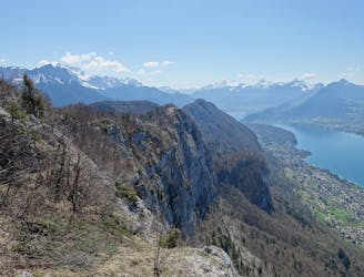
A classic ridge traverse along 2 prominent and famous peaks.
Difficult Hiking
- Distance
- 12 km
- Ascent
- 1 km
- Descent
- 1 km
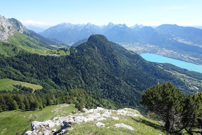
boucle depuis parking la blonnière
Hiking Moderate

This is a popular hiking route which is generally considered to be moderate. It's remote, it features high exposure and is typically done between May and October. From a low point of 966 m to the maximum altitude of 1.8 km, the route covers 10 km, 996 vertical metres of ascent and 996 vertical metres of descent.
Massif des bornes
Moderate
Hiking along trails with some uneven terrain and small hills. Small rocks and roots may be present.

Some trail sections have exposed ledges or steep ascents/descents where falling could cause serious injury.

Away from help but easily accessed.
6.4 km away
A classic ridge traverse along 2 prominent and famous peaks.
Difficult Hiking
1 routes · Hiking