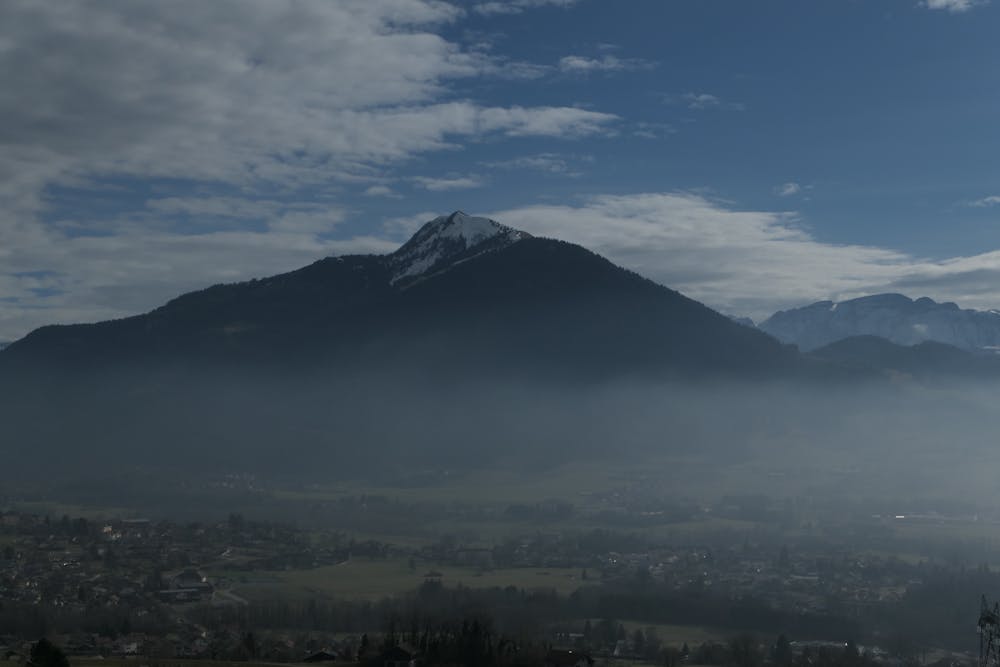
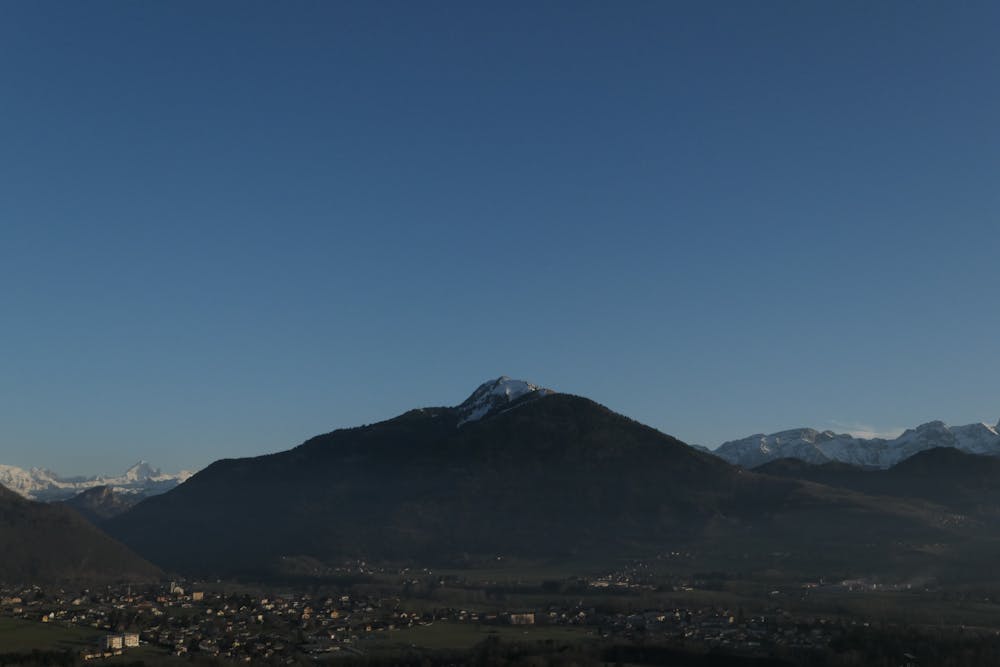
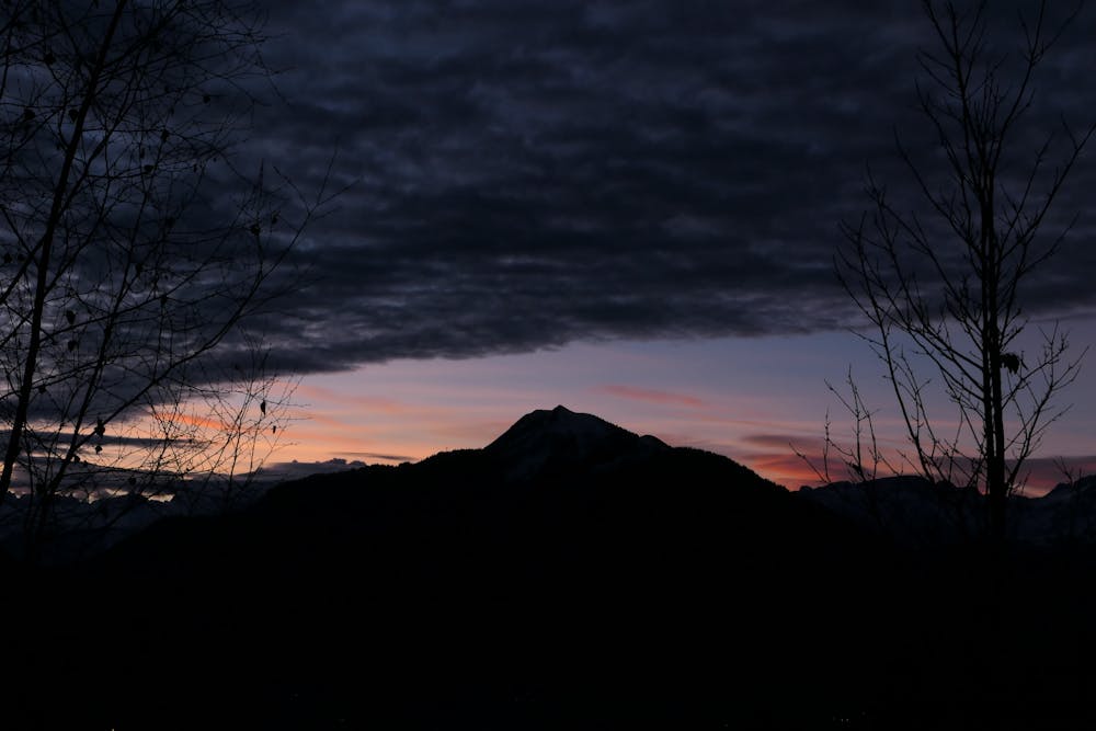
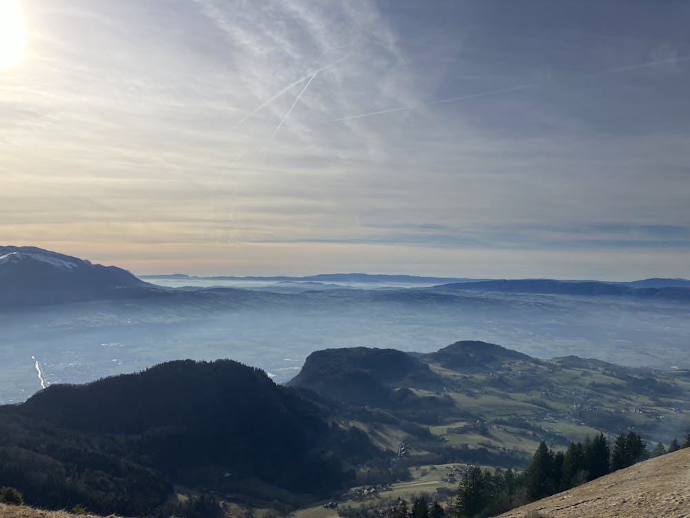
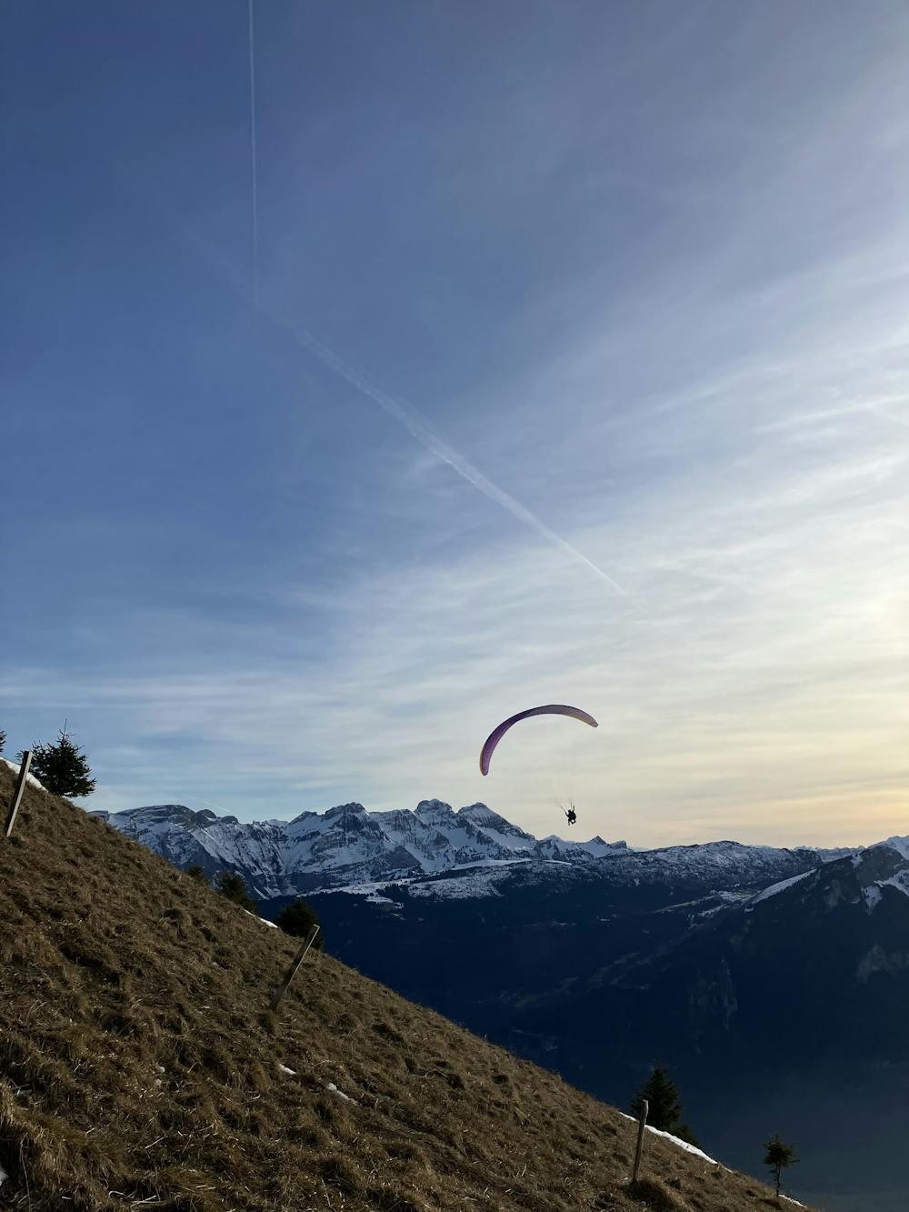
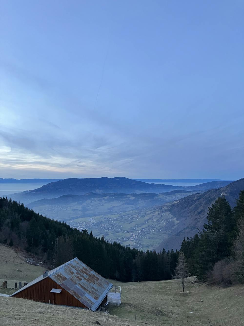
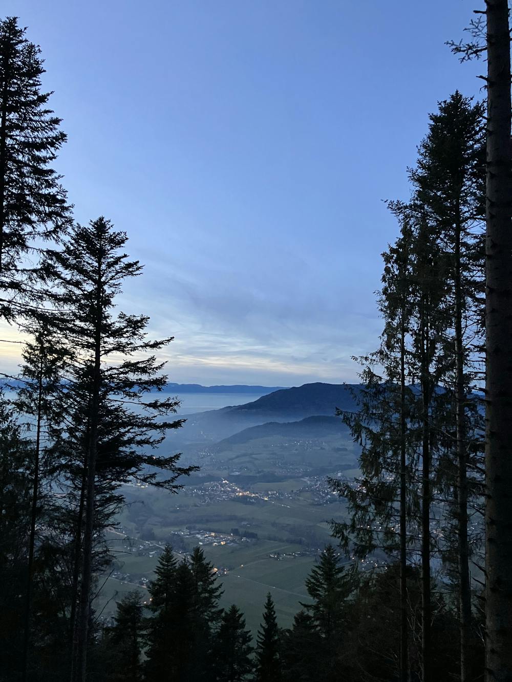
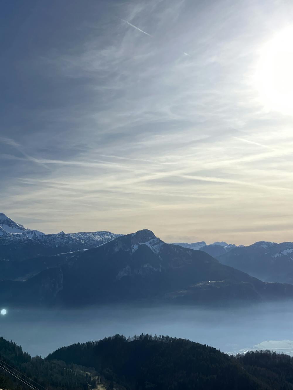
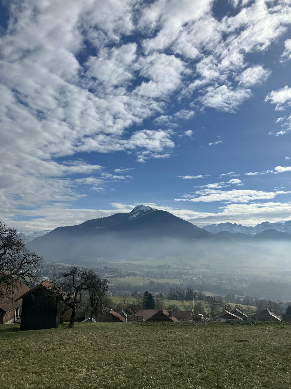
France winter - Haute-Savoie - Le Môle
Arve Valley
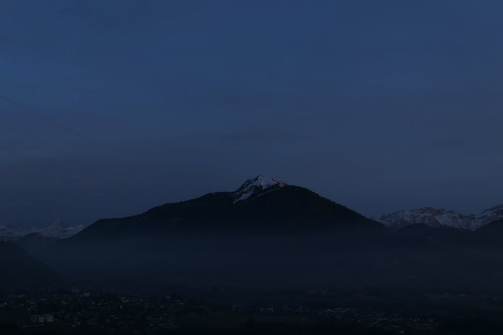
Le Môle- départ depuis La Tour
Hiking Difficult
- Distance
- 16 km
- Ascent
- 1.4 km
- Descent
- 1.4 km
- Duration
- 5-6 hrs
- Low Point
- 628 m
- High Point
- 1.9 km
- Gradient
- 18˚

This is a popular hiking route which is generally considered to be difficult. It's remote, it features medium exposure and is typically done all year round. From a low point of 628 m to the maximum altitude of 1.9 km, the route covers 16 km, 1387 vertical metres of ascent and 1392 vertical metres of descent.

- •
- •
- •
- •
- •
- •
- •
- •
- •
- •
- •
- •
- •
- •
- •
Description
Le Môle- départ depuis La Tour
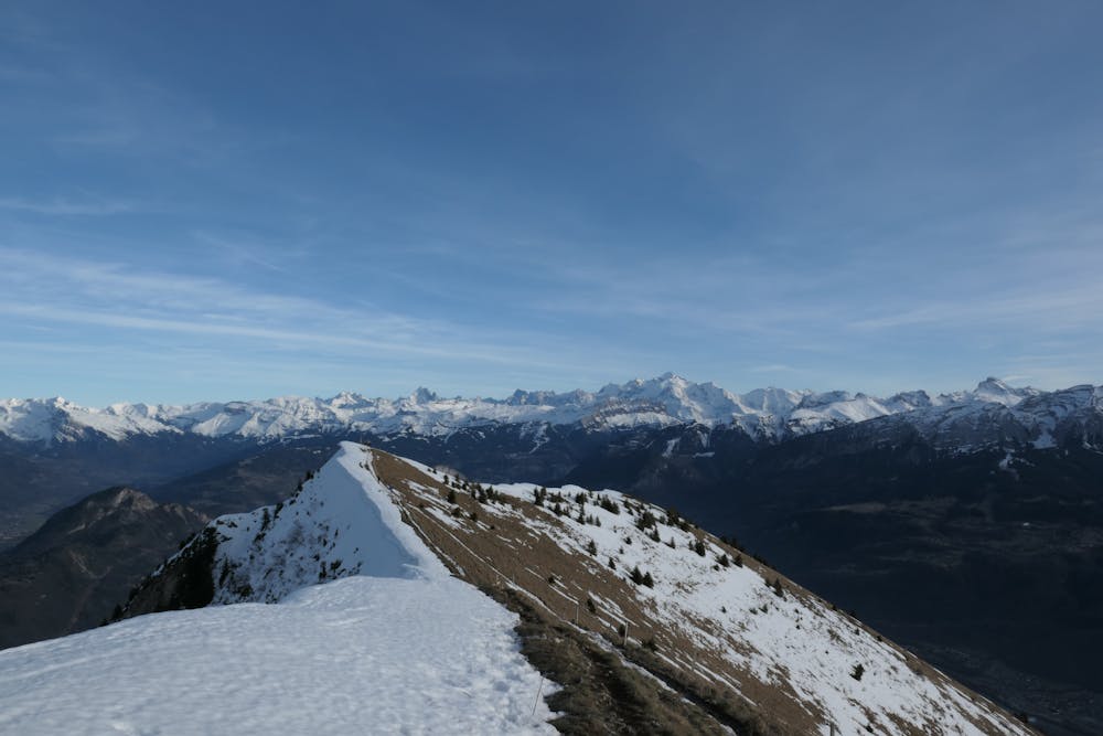
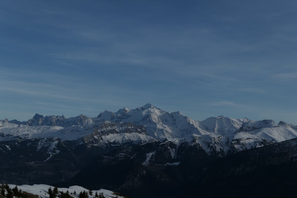
Beautiful hike to get a view on the Mont Blanc massif and other surrounding valleys. Continuously ascending, ending up on a snowy peak (in winter), where crampons or good shoes might be necessary.
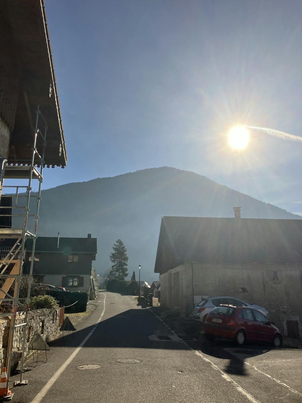
Parking: 46.1359272,6.4281426
Difficulty
Difficult
Hiking trails where obstacles such as rocks or roots are prevalent. Some obstacles can require care to step over or around. At times, the trail can be worn and eroded. The grade of the trail is generally quite steep, and can often lead to strenuous hiking.
Medium Exposure

The trail contains some obstacles such as outcroppings and rock which could cause injury.
Remoteness
Away from help but easily accessed.
Best time to visit
Features
- Picturesque
- Summit Hike
- Dog friendly
- Family friendly
- Forestry or heavy vegetation