
12 routes · Hiking
Jolie balade familiale au coeur des Aravis !
Hiking Easy

This is a popular hiking route which is generally considered to be easy. It's an unknown remoteness, it features unknown exposure and is typically done in an unknown time of year. From a low point of 1.5 km to the maximum altitude of 1.7 km, the route covers 8.5 km, 356 vertical metres of ascent and 348 vertical metres of descent.
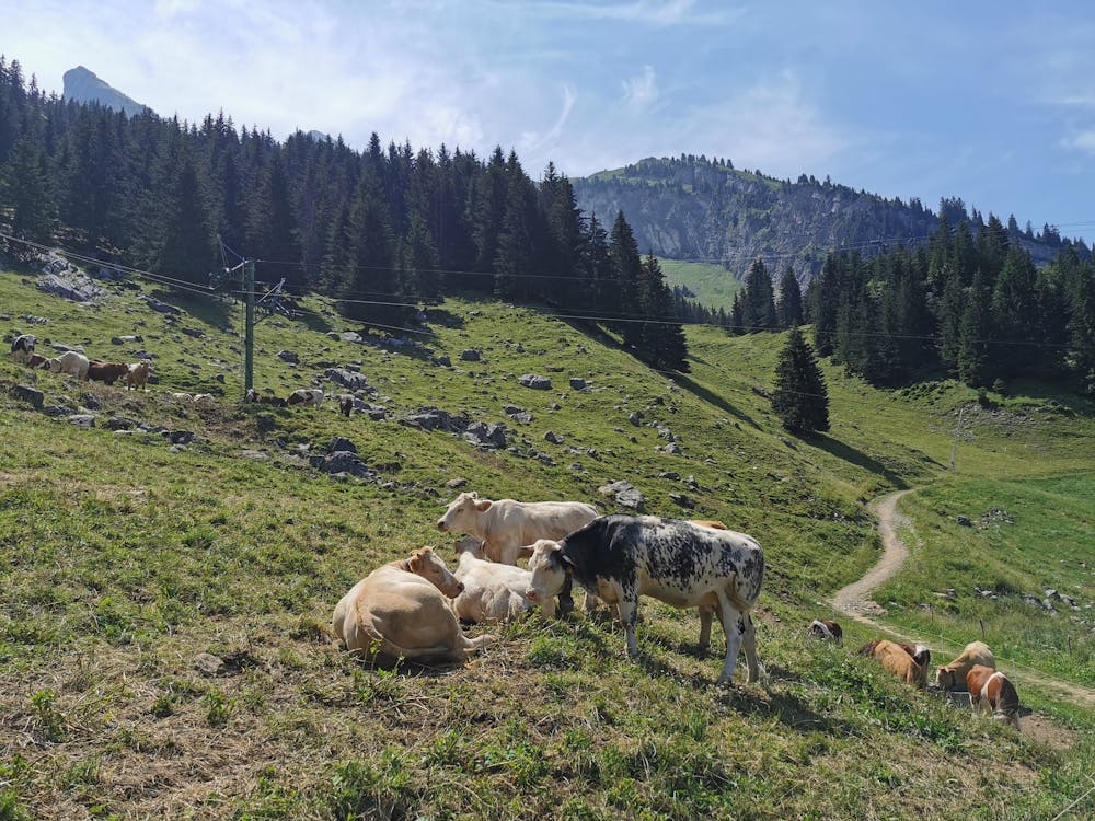
Se garer au col de la Croix Fry puis suivre une piste en direction de la pointe de Beauregard. Passer ensuite devant la ferme de Vaunessins et suivez le chemin vers la croix de Colomban. De là finir la boucle par un GR en direction du col de la Croix Fry.
Easy
Walking along a well-kept trail that’s mostly flat. No obstacles are present.
12 routes · Hiking