Les Bois loop
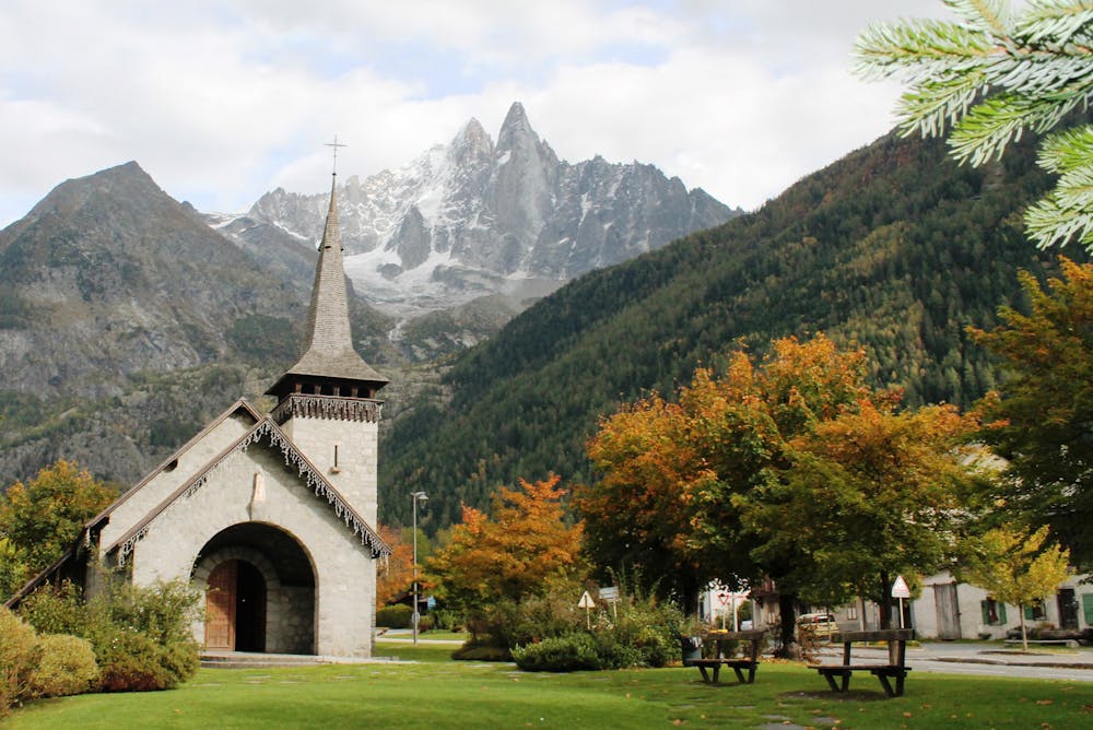
Chamonix
A lovely trip through forests, open fields and riverbank trails.
Horse Riding Easy
- Distance
- 2.9 km
- Ascent
- 38 m
- Descent
- 38 m
- Low Point
- 1.1 km
- High Point
- 1.1 km
- Gradient
- 1˚

Although short this route takes in a variety of sights and types of terrain. It starts just outside the pretty village of Les Praz and then passes into the forest before emerging next to the PGHM (Peloton de Gendarmerie de Haute Montagne) helipad, from where helicopter rescues are launched.
Description
On a sunny day the helicopter is likely to be flying and if your horse is easily spooked, try to time it so that you pass by the helipad when there is not an aircraft landing or taking off.
After the helipad there is a brief section on the road through the exclusive neighbourhood of Les Bois. Rumours abound in Chamonix that some of the Hollywood elite own properties here and when you see the area for yourself, you'll understand why they might like it - Les Bois is beautiful, quiet and incredibly picturesque.
At the far end of the village this route dips back into the forest and then begins heading south alongside the banks of the River Arve. Follow the river as it winds back to the parking area.
Difficulty
Easy
Remoteness

Away from help but easily accessed.