Beauregard VTT fun
La Clusaz & Le Grand Bornand
easy way up, fun way down
Mountain Biking Moderate
- Distance
- 16 km
- Ascent
- 637 m
- Descent
- 642 m
- Duration
- 1-2 hrs
- Low Point
- 1 km
- High Point
- 1.6 km
- Gradient
- 8˚

This is a popular mountain biking route which is generally considered to be moderate. It's not remote, it features low exposure and is typically done between June and October. From a low point of 1 km to the maximum altitude of 1.6 km, the route covers 16 km, 637 vertical metres of ascent and 642 vertical metres of descent.
- •
- •
- •
Description
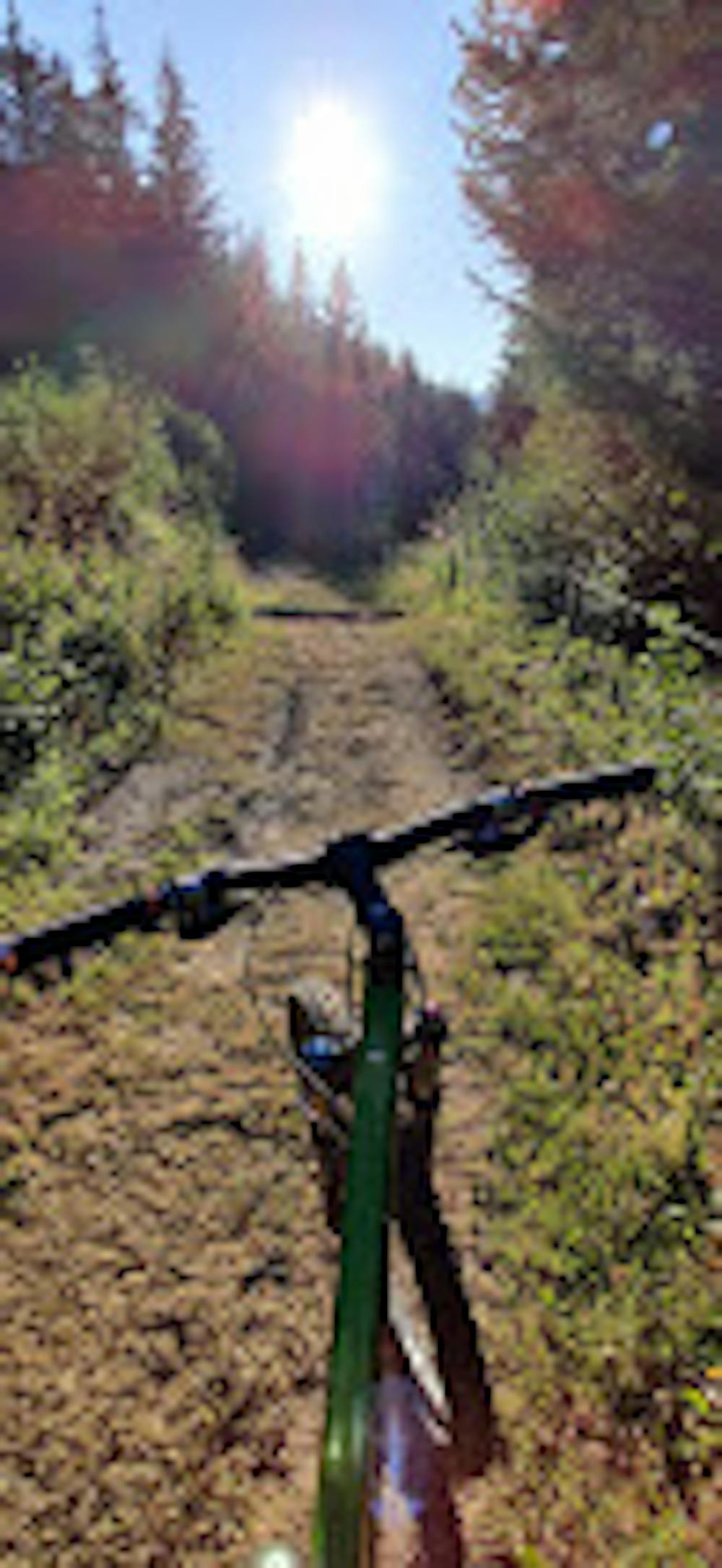
easy way up (except one passage that is very steep, you might need to carry your bike for 100m)
Difficulty
Moderate
Mostly stable trail tread with some variability, with unavoidable obstacles 8in/20cm tall or less. Other obstacles such as rock gullies and steep sections may exist. Ideal for lower intermediate riders.
Low Exposure

The path is on completely flat land and potential injury is limited to falling over.
Remoteness
Close to help in case of emergency.
Best time to visit
Features
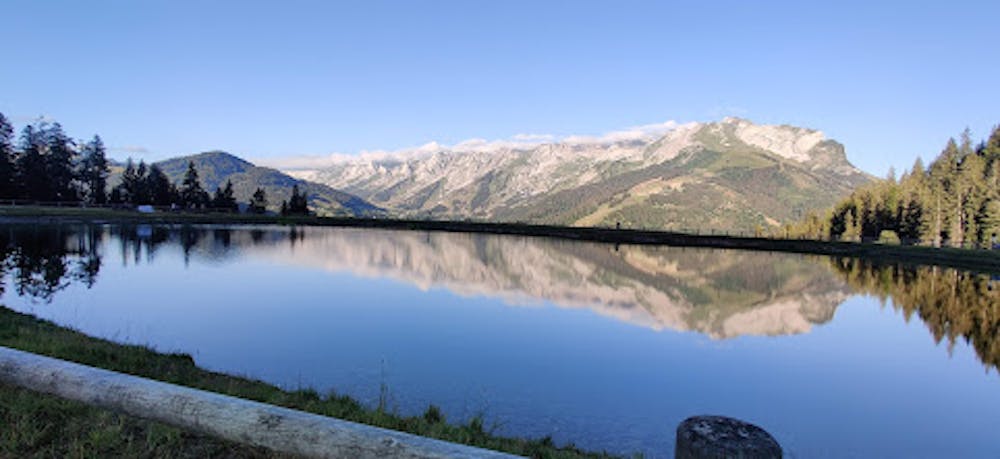
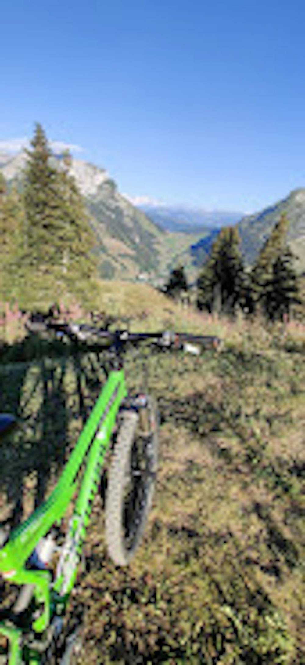
- Picturesque
- In the forest
- Road sections
- Roots