"Veyrier Plus Haut"
Annecy
Short singletrack MTB/ VTT ride. Pedal up, rip down, rinse and repeat.
Mountain Biking Difficult
- Distance
- 10 km
- Ascent
- 552 m
- Descent
- 563 m
- Duration
- 1-2 hrs
- Low Point
- 668 m
- High Point
- 979 m
- Gradient
- 14˚

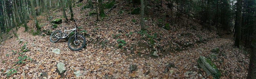
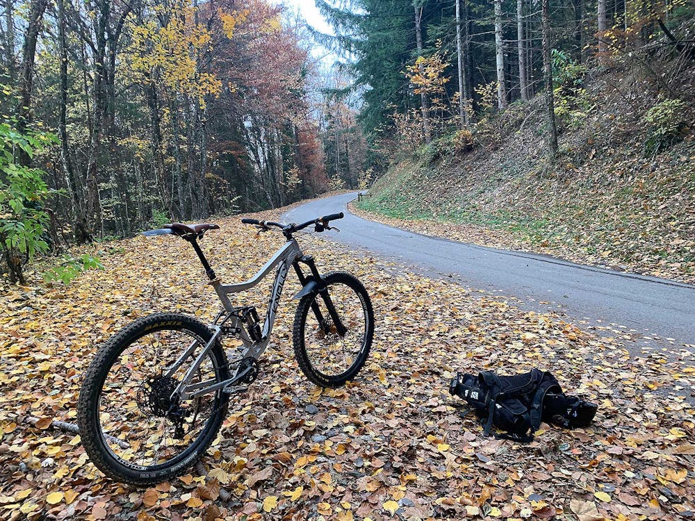
Fantastic, natural forest downhill singletrack riding... steep in places, but never too treacherous. Ride up the road to get back to the tops of trails, and look out for evidence of secret-squirrel local trail builders who've set up some tasty doubles and berms here and there. Look out for hidden roots under the leaves in Autumn! GPX Track sourced from Suunto Movescount.
- •
- •
Difficulty
Difficult
Mostly stable trail tread with some variability featuring larger and more unavoidable obstacles that may include, but not be limited to: bigger stones, roots, steps, and narrow curves. Compared to lower intermediate, technical difficulty is more advanced and grades of slopes are steeper. Ideal for upper intermediate riders.
Low Exposure

The path is on completely flat land and potential injury is limited to falling over.
Remoteness
Close to help in case of emergency.
Best time to visit
Features
- Technical
- Singletrack
- Wet-weather friendly
- Roots