Beauregard
La Clusaz & Le Grand Bornand
Beauregard is the charm of the Aravis massif, which has been authentically preserved. A hike highly recommended for its beauty!
Resort Ski Touring Easy
- Distance
- 4 km
- Ascent
- 604 m
- Descent
- 58 m
- Duration
- 2-3 hrs
- Low Point
- 1.1 km
- High Point
- 1.6 km
- Gradient
- 30˚
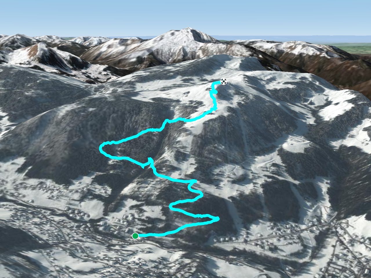
This trail leads to the top of the Beauregard plateau, alternating between undergrowth and trackside passages. Not enough to really get the experienced hiker's pump up, but enough effort and pleasure for the discoverer.
Description
Beauregard is a Nordic and alpine area in the heart of nature, with excellent snow cover, vast forests and a very rich fauna. We discover very beautiful and old mountain pasture chalets, views of the Aravis, Mont Blanc, Etale, Charvin, Sulens, Les Glières and La Tournette! First aid station, restaurants and toilets on arrival at the summit.
3 alternatives to the ascent: by the Bachal, by the Blue Track or by the Mornings<br/><br/>For more information: <a href="https://skitouring.decathlon.fr" target="blank">skitouring.decathlon.fr</a>
Difficulty
Easy