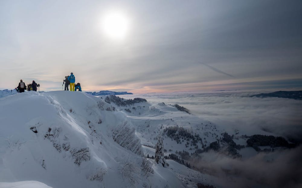
Hirmentaz's Ridges by the station and descent on Habère-Poche
Hirmentaz
A little tour with a good fresh snow descent
Ski Touring Moderate
- Distance
- 4.4 km
- Ascent
- 343 m
- Descent
- 624 m
- Duration
- 1-2 hrs
- Low Point
- 940 m
- High Point
- 1.6 km
- Gradient
- 37˚

This is a popular ski touring route which is generally considered to be moderate. It's remote, it features medium exposure (e2) and is typically done between December and March. From a low point of 940 m to the maximum altitude of 1.6 km, the route covers 4.4 km, 343 vertical metres of ascent and 624 vertical metres of descent. It's graded 3.2 and Labande grade 3.
- •
- •
- •
Description
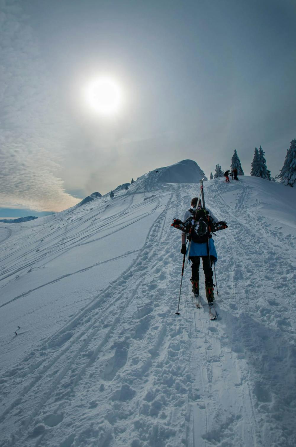
Going up by the top of the village of Hirmentaz, following the ridges and descent on an off-pist face.
Difficulty
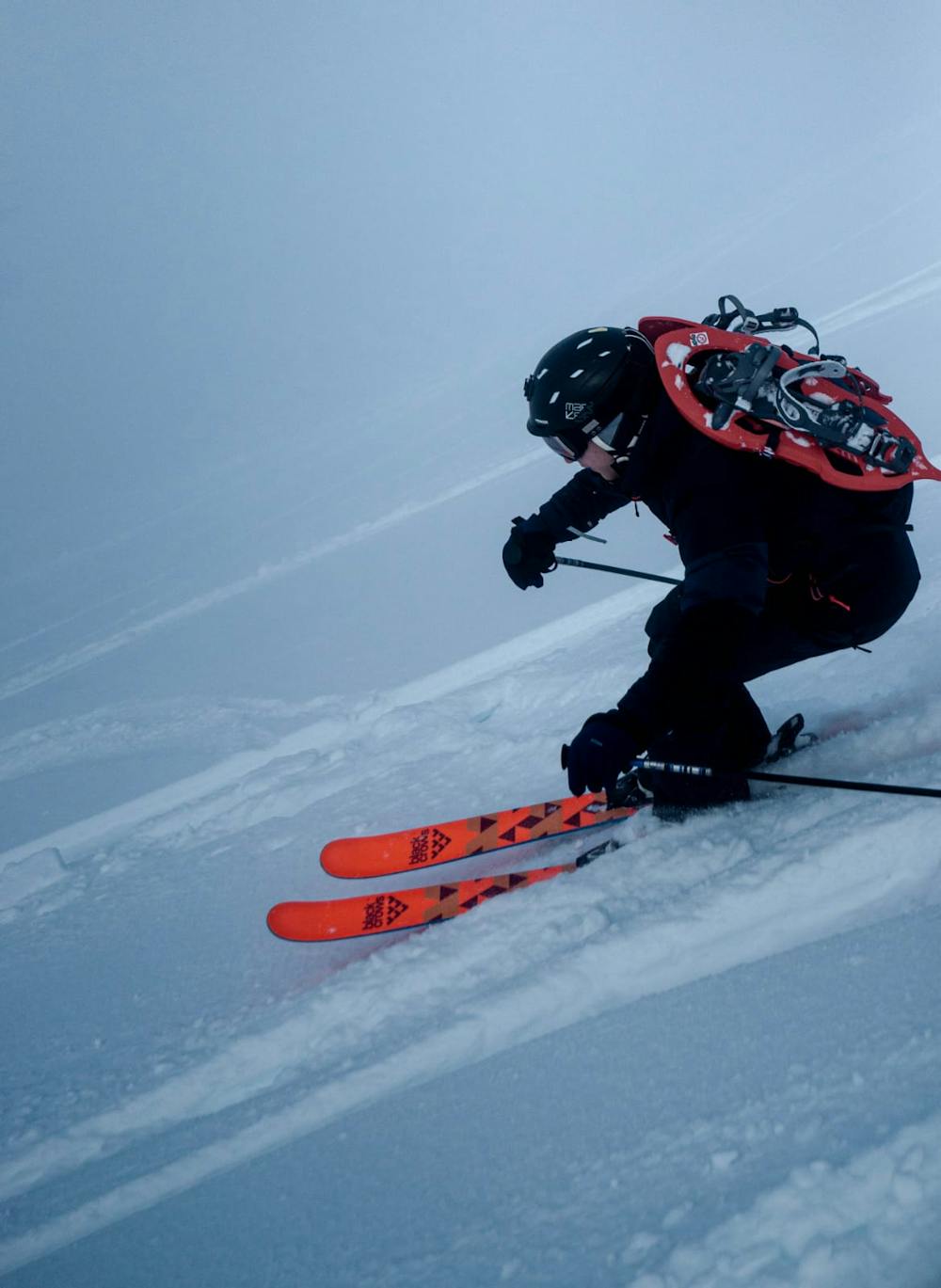
Moderate
Slopes become slightly steeper at around 25-30 degrees.
Medium Exposure (E2)

As well as the slope itself, there are some obstacles (such as rock outcrops) which could aggravate injury.
Remoteness
Away from help but easily accessed.
Best time to visit
Features
- Face
- Tree Skiing
- Single Descent