2 km away
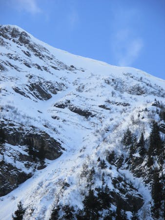
Ressachaux North couloir
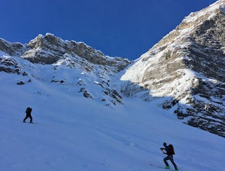
A stunning steep and committing line that's rarely in condition, this route offers some very technical skiing.
Extreme Ski Touring
- Distance
- 7 km
- Ascent
- 993 m
- Descent
- 991 m
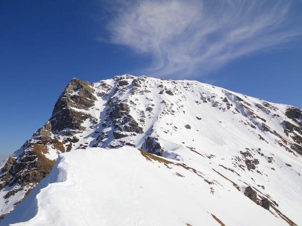
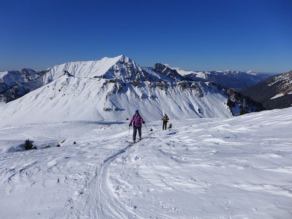
A secluded summit squeezed between Morzine and Avoriaz with a steep ascent and short but beautiful descent requiring good snow cover to be worthwhile.
Ski Touring Difficult

From Morzine, take the road towards Avoriaz until you reach Les Udrezants. From here you will begin your ascent, crossing the grassy fields to join a steep path that leads up through the forest. Climb all the way up the trail to the chalets at Le Creux and on up the wide west-northwest ridge that leads to the summit. Beware of the very steep cliffs to your left on the final ascent.
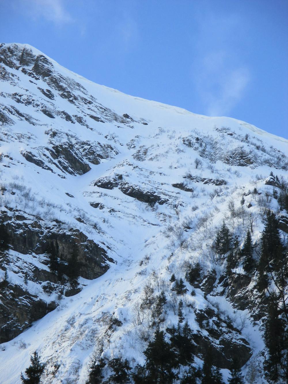
From the summit you have a couple of options. The easiest route is to return via the same general direction as your ascent and enjoy gentle turns on the wide slope down the ridge. Alternatively, you can ski from the summit on a diagonal to the skiers right before turning onto the steeper face and finding the wide ramp through the rock band before bearing skier's right and descending down the gentler slopes below to join the ascent route.
For this route to be an enjoyable ski there needs to have been a heavy snowfall and cold weather. Otherwise the face is generally too warm to ski. It is, however, a worthwhile hike for magnificent views of the Portes du Soleil.
Difficult
Serious gradient of 30-38 degrees where a real risk of slipping exists.

Exposure is limited to that of the slope itself. Getting hurt is still likely if the slope is steep and/or the snow is hard.

In the high mountains or remote conditions, all individuals must be completely autonomous in every situation.
2 km away
A stunning steep and committing line that's rarely in condition, this route offers some very technical skiing.
Extreme Ski Touring
6.6 km away
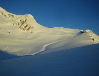
A long popular classic of the Chablais with an adventurous mellow descent.
Moderate Ski Touring
9.7 km away
Long, easy hike with an easy, open descent - accessible by car or lift.
Easy Ski Touring
8 routes · Ski Touring
9 routes · Freeride Skiing · Ski Touring
3 routes · Ski Touring