Trail des Frahans - Haut-Giffre
Grand Massif
A wonderful trail running track around the mountains of the Giffre valley.
Trail Running Difficult
- Distance
- 49 km
- Ascent
- 3.7 km
- Descent
- 3.6 km
- Duration
- 1 day +
- Low Point
- 685 m
- High Point
- 2.4 km
- Gradient
- 20˚

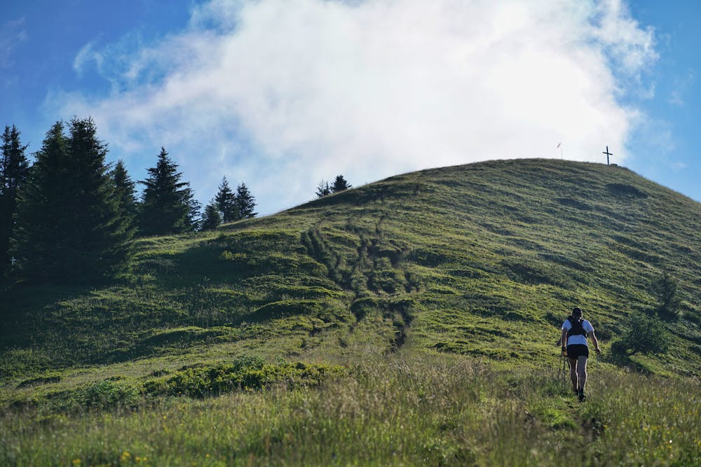
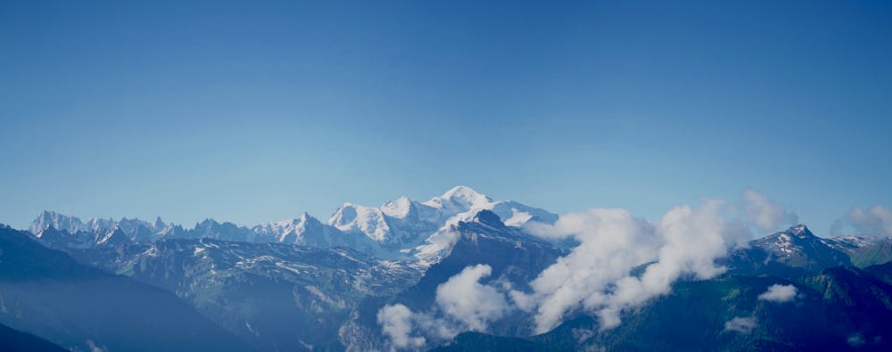
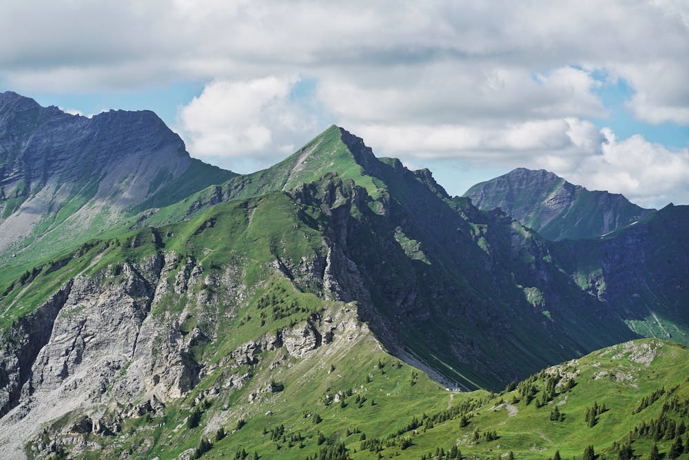
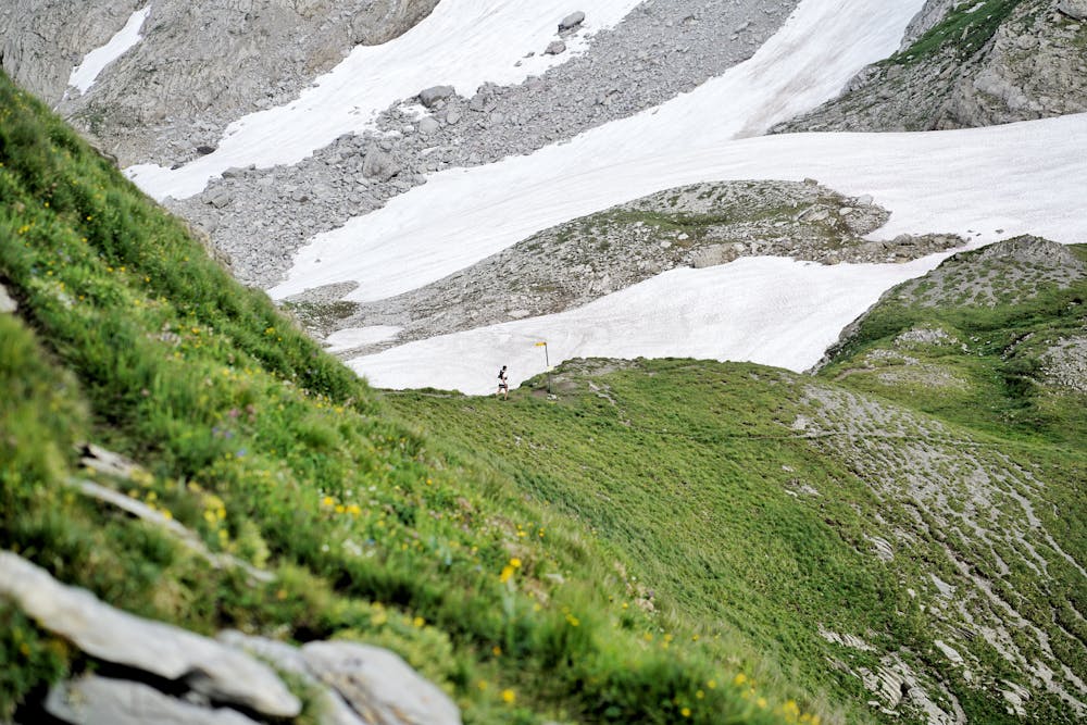
Trail des Frahans is based on the Ultra Trail du Haut Giffre Race on which we were signed up but which has been cancelled. This track can be done in 10 to 15 hours. We left Samoëns a little before sunrise, in the direction of La Bourgeoise and then the Pointe de Chamossière. After the first 1000 meters of positive elevation gain, we’ve enjoyed a superb view of the Mont Blanc massif... Up there a windsock indicates perfect conditions for a small morning flight, but it will be for a next time. Heading for the Joux Plane lake and the Pointe d'Angolon. The calves get hot on the way up and the thighs on the way down, it's pretty steep! Then a great aerial crossing through the ridges to reach the Lac des Mines d'Or. Then head towards the Col de Coux which marks the border with Switzerland! We’ve decided to avoid the Col de la Golèse to take a slightly more technical variant which takes us directly up to the Pas de la Latte via a neve crossing. A short break at the Tête de Bostan to enjoy the view, it's the highest point of the course at 2400m. To end-up this beautiful journey, a long descent remain (1700m of negative elevation, about 10km) to reach back Samoëns.
- •
- •
- •
- •
Difficulty
Difficult
Medium Exposure

The trail contains some obstacles such as outcroppings and rock which could cause injury.
Remoteness
Away from help but easily accessed.