Ancelle
Gap
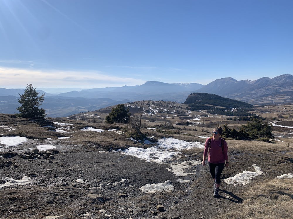
Nice hike for a afternoon
Hiking Easy
- Distance
- 7.4 km
- Ascent
- 401 m
- Descent
- 401 m
- Duration
- 2-3 hrs
- Low Point
- 1.3 km
- High Point
- 1.7 km
- Gradient
- 10˚

This is a popular hiking route which is generally considered to be easy. It's not remote, it features low exposure and is typically done between April and November. From a low point of 1.3 km to the maximum altitude of 1.7 km, the route covers 7.4 km, 401 vertical metres of ascent and 401 vertical metres of descent.
Description
Nice views. To get to the summit some rocky paths but overall a easy walk. The way down is on a old skislope but not very steep, you could bring an ass sled and slide down.
Difficulty
Easy
Walking along a well-kept trail that’s mostly flat. No obstacles are present.
Low Exposure

The path is on completely flat land and potential injury is limited to falling over.
Remoteness
Close to help in case of emergency.
Best time to visit
Features
- Picturesque
- Dog friendly