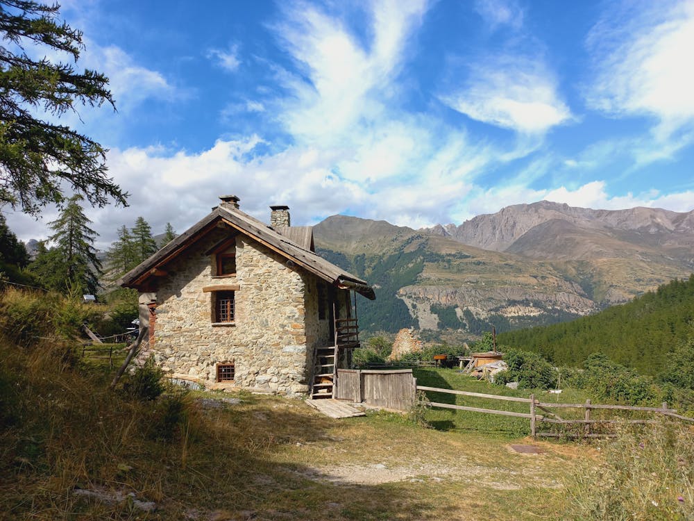
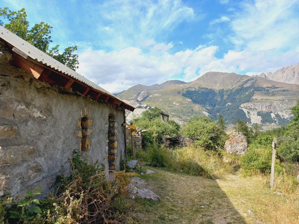
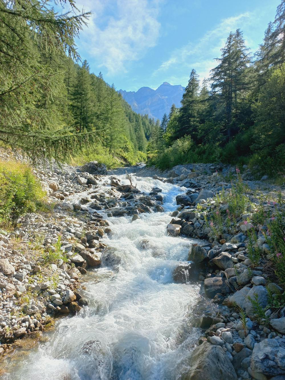
Boucle des Sagnières et des Grangettes
Serre Chevalier
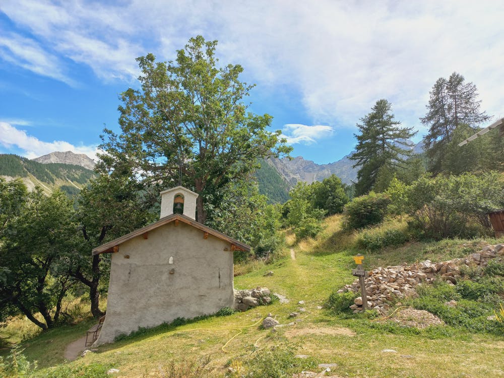
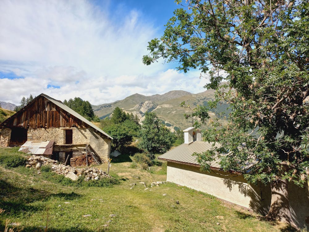
Balade dans la forêt et le vallon du Tabuc
Hiking Moderate
- Distance
- 5.6 km
- Ascent
- 359 m
- Descent
- 359 m
- Duration
- 1-2 hrs
- Low Point
- 1.5 km
- High Point
- 1.8 km
- Gradient
- 11˚

This is a popular hiking route which is generally considered to be moderate. It's not remote, it features medium exposure and is typically done all year round. From a low point of 1.5 km to the maximum altitude of 1.8 km, the route covers 5.6 km, 359 vertical metres of ascent and 359 vertical metres of descent.
- •
- •
- •
- •
- •
- •
- •
- •
- •
- •
- •
Description
Balade dans la forêt et le vallon du Tabuc
Difficulty
Moderate
Hiking along trails with some uneven terrain and small hills. Small rocks and roots may be present.
Medium Exposure

The trail contains some obstacles such as outcroppings and rock which could cause injury.
Remoteness

Close to help in case of emergency.
Best time to visit
Features
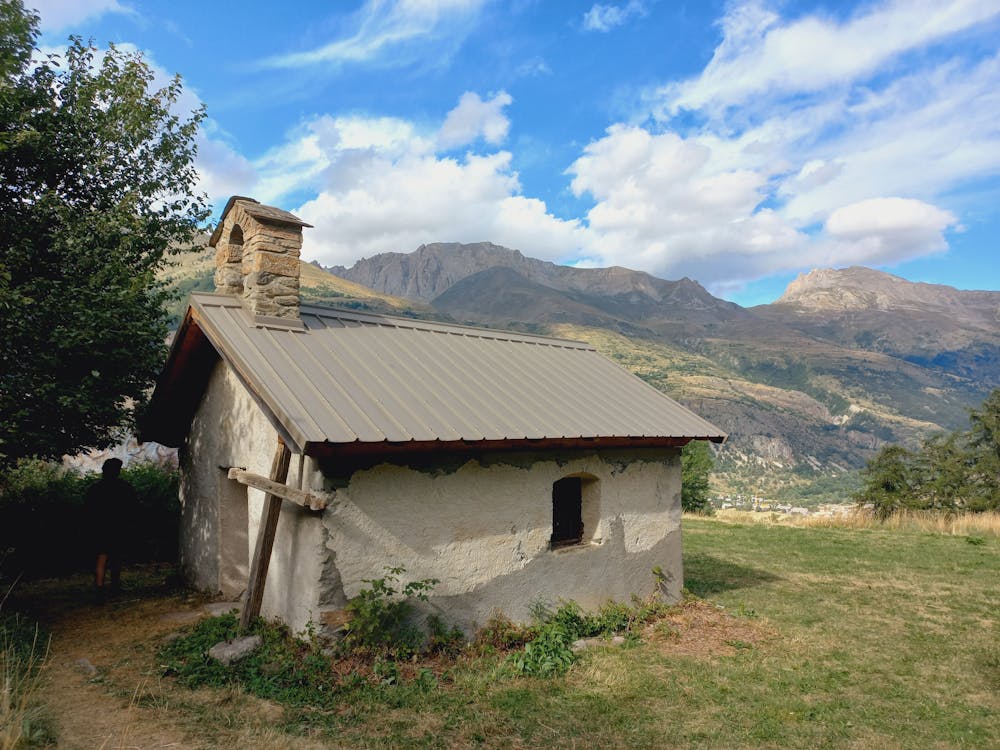
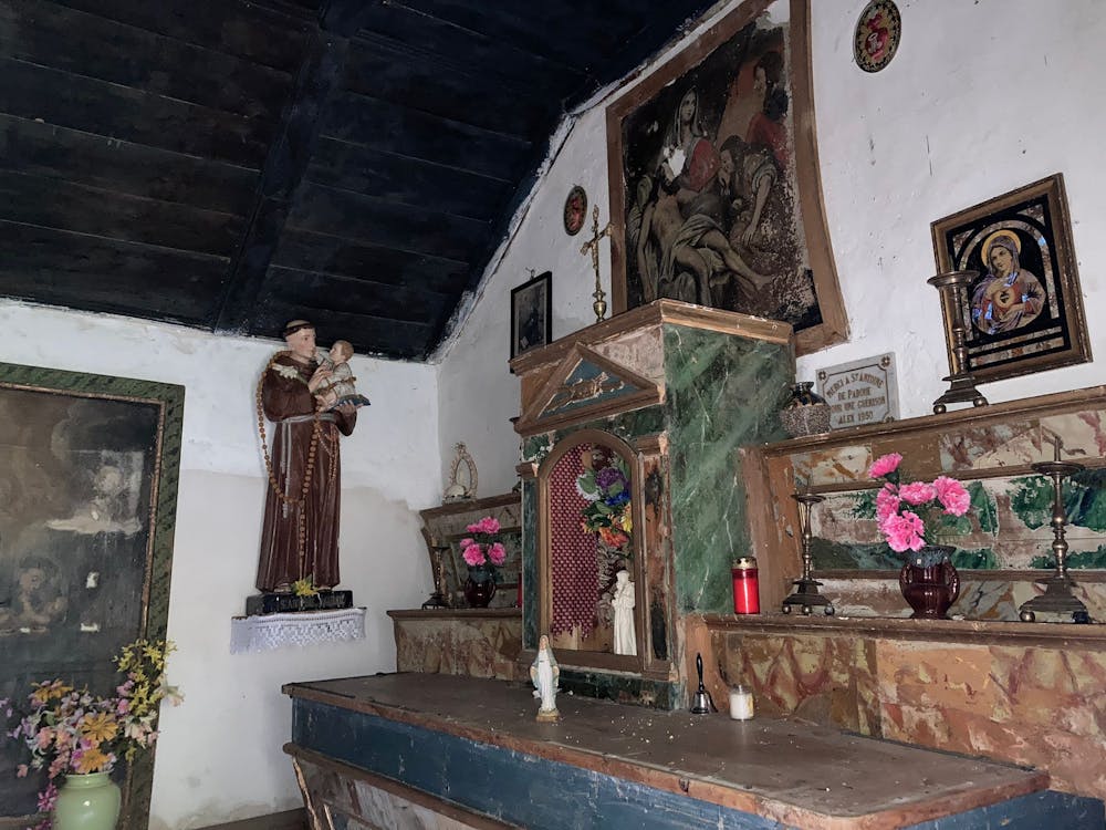
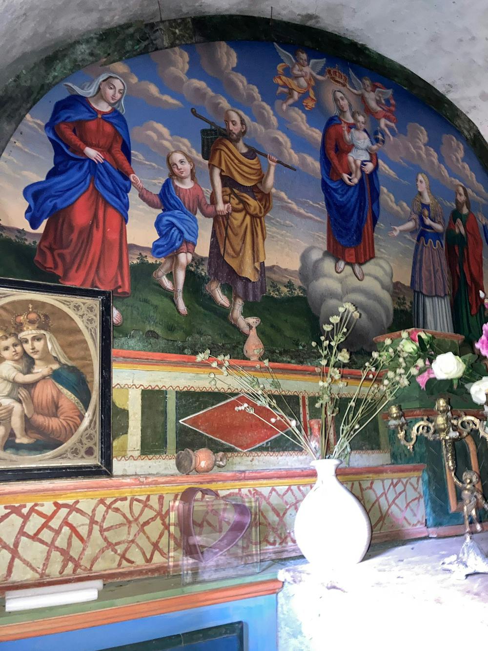
- Historical
- Picturesque
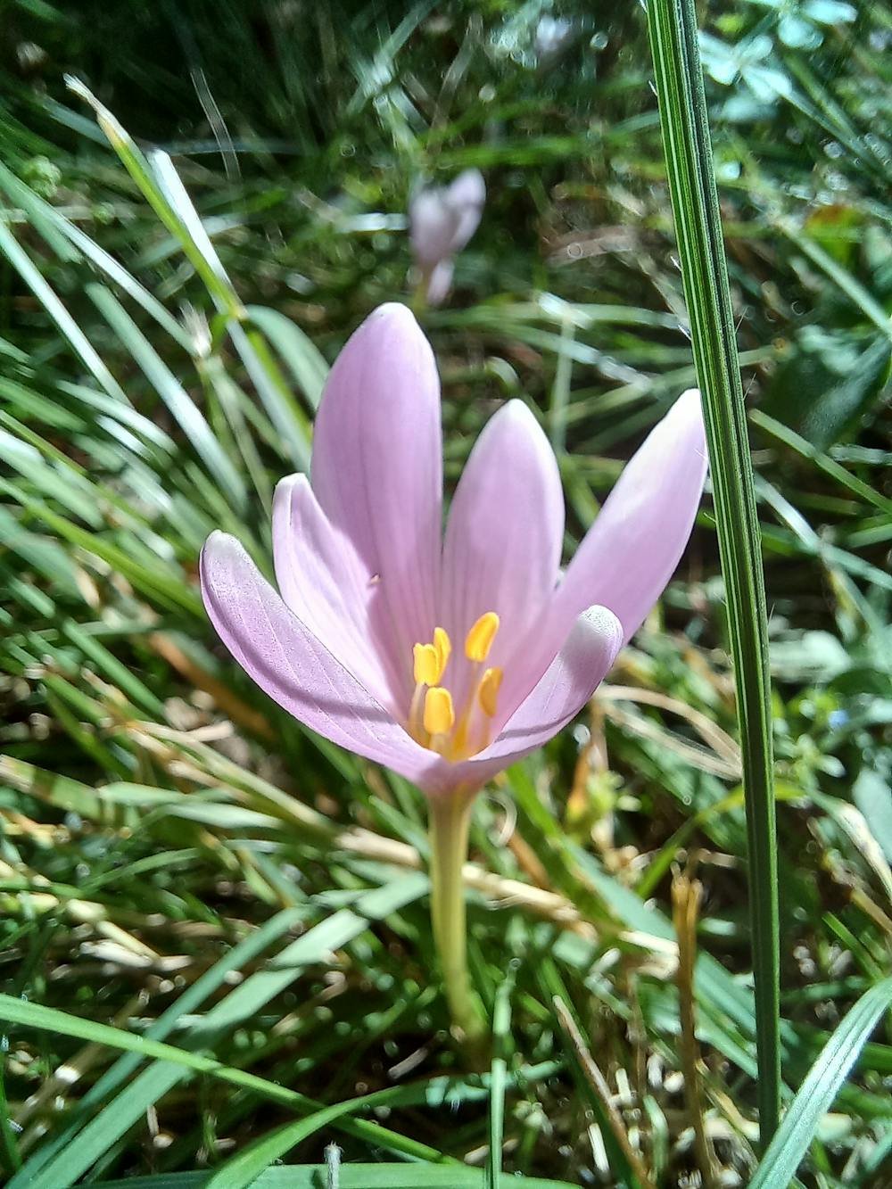
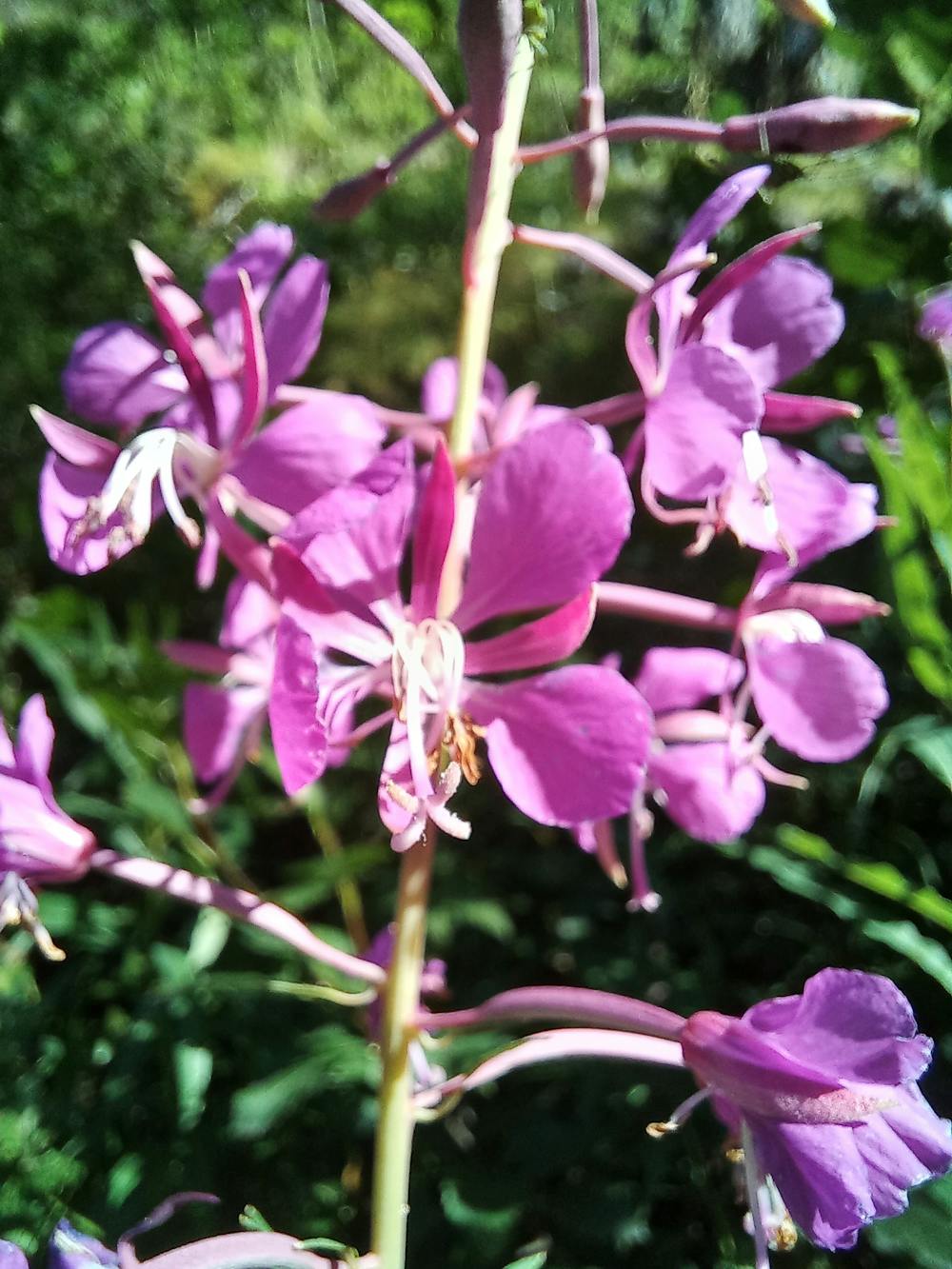
- Wild flowers
- Family friendly
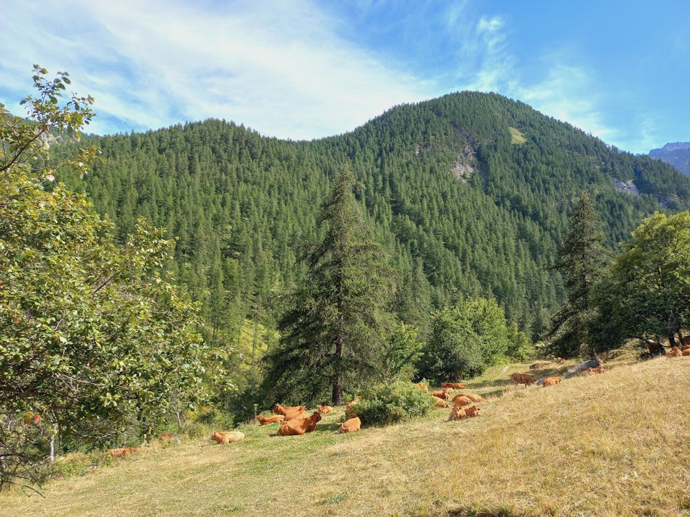
- Forestry or heavy vegetation