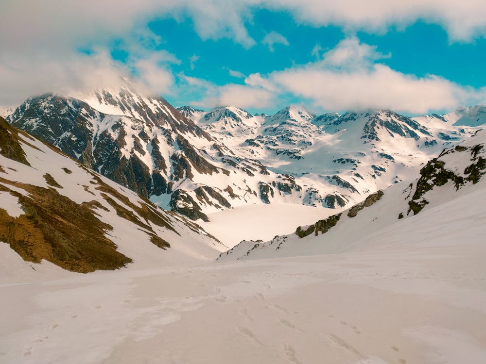
boucle ourrec lac bleu
boucle réalisée avec crampons. superbe rando avec des vues époustouflantes sur la vallée de lesponne. attention à la montée du col de bareilles qui demande un petit effort non négligeable.
Hiking Difficult
- Distance
- 15 km
- Ascent
- 1.2 km
- Descent
- 1.2 km
- Duration
- 4-5 hrs
- Low Point
- 1.1 km
- High Point
- 2.2 km
- Gradient
- 19˚

This is a popular hiking route which is generally considered to be difficult. It's remote, it features medium exposure and is typically done all year round. From a low point of 1.1 km to the maximum altitude of 2.2 km, the route covers 15 km, 1170 vertical metres of ascent and 1194 vertical metres of descent.

- •
- •
Description
la vue sur le lac depuis le col
Difficulty
Difficult
Hiking trails where obstacles such as rocks or roots are prevalent. Some obstacles can require care to step over or around. At times, the trail can be worn and eroded. The grade of the trail is generally quite steep, and can often lead to strenuous hiking.
Medium Exposure

The trail contains some obstacles such as outcroppings and rock which could cause injury.
Remoteness
Away from help but easily accessed.
Best time to visit
Features
- Summit Hike
- Dog friendly