Hautacam - Montaigu (South)
A "non canonical" walkup to the Montaigu peak: ridges, lakes and green medows
Hiking Difficult
- Distance
- 18 km
- Ascent
- 912 m
- Descent
- 912 m
- Duration
- 5-6 hrs
- Low Point
- 1.6 km
- High Point
- 2.3 km
- Gradient
- 12˚

ENGLISH | FRANÇAIS | ESPAÑOL
- •
- •
- •
- •
- •
- •
Description
EN:
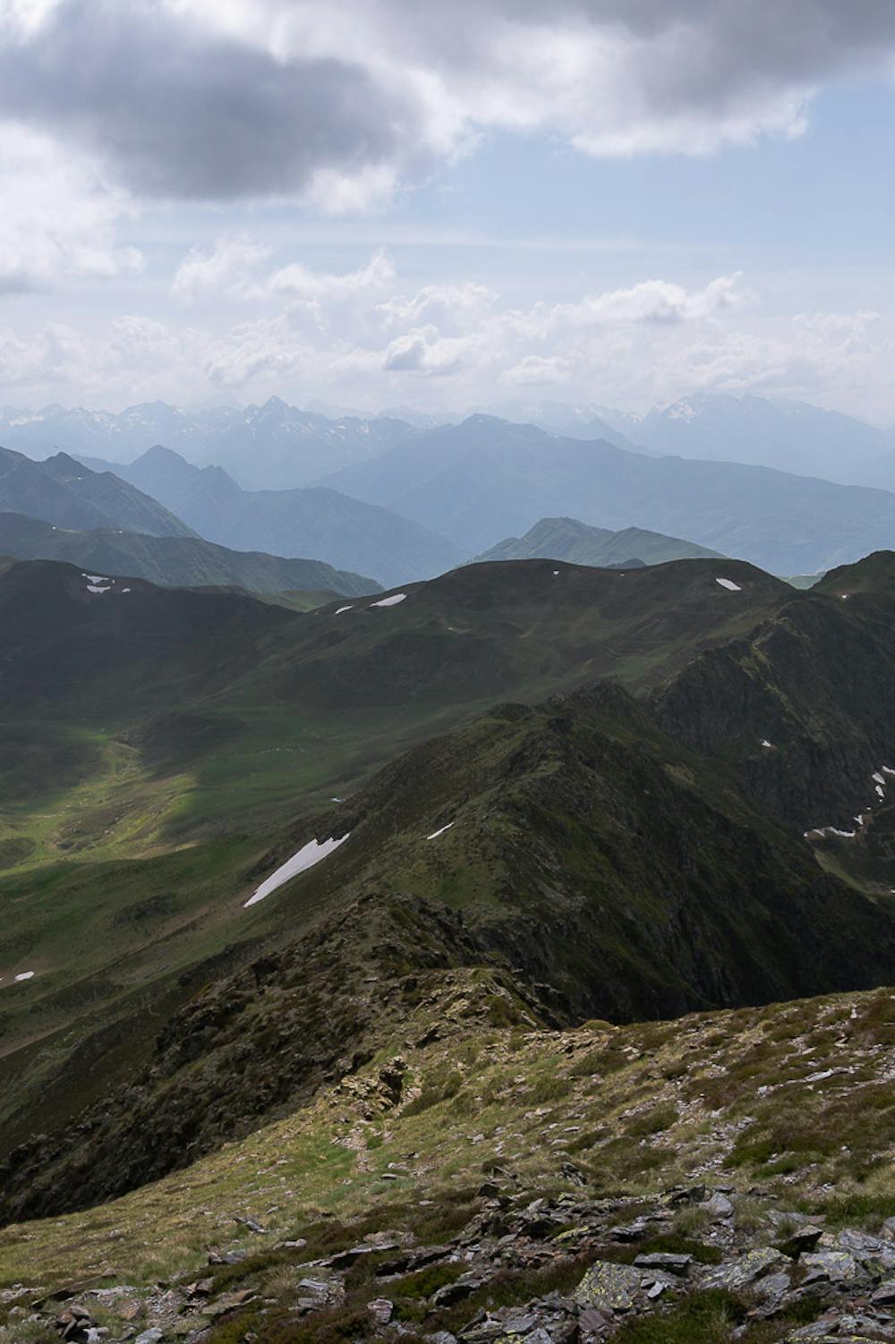
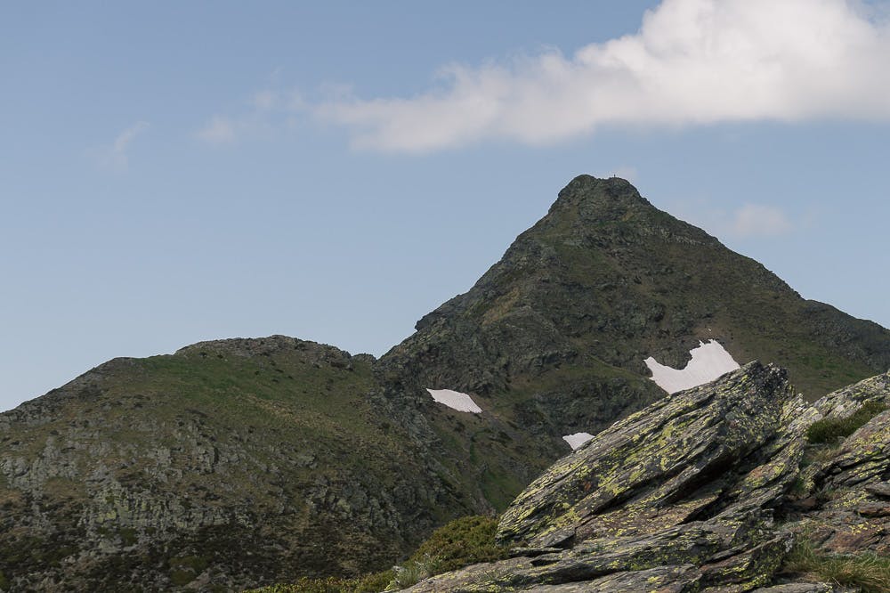
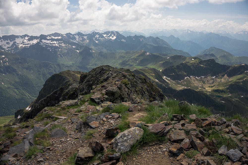
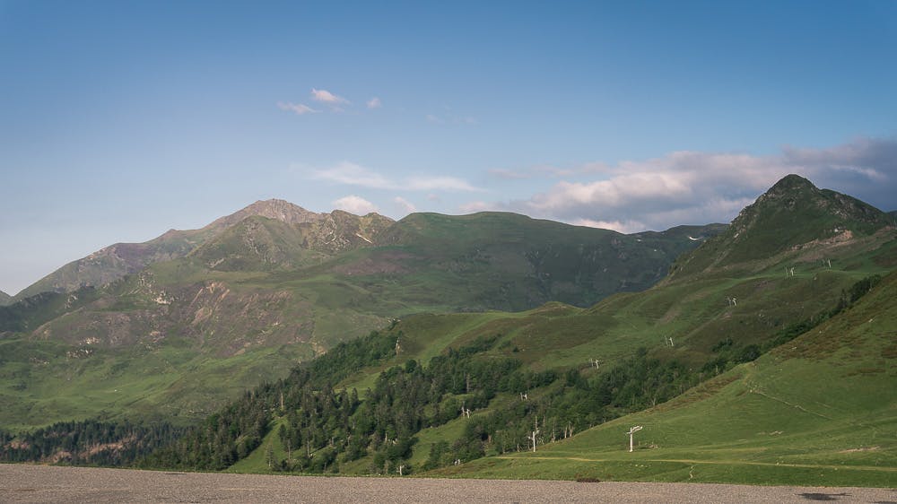
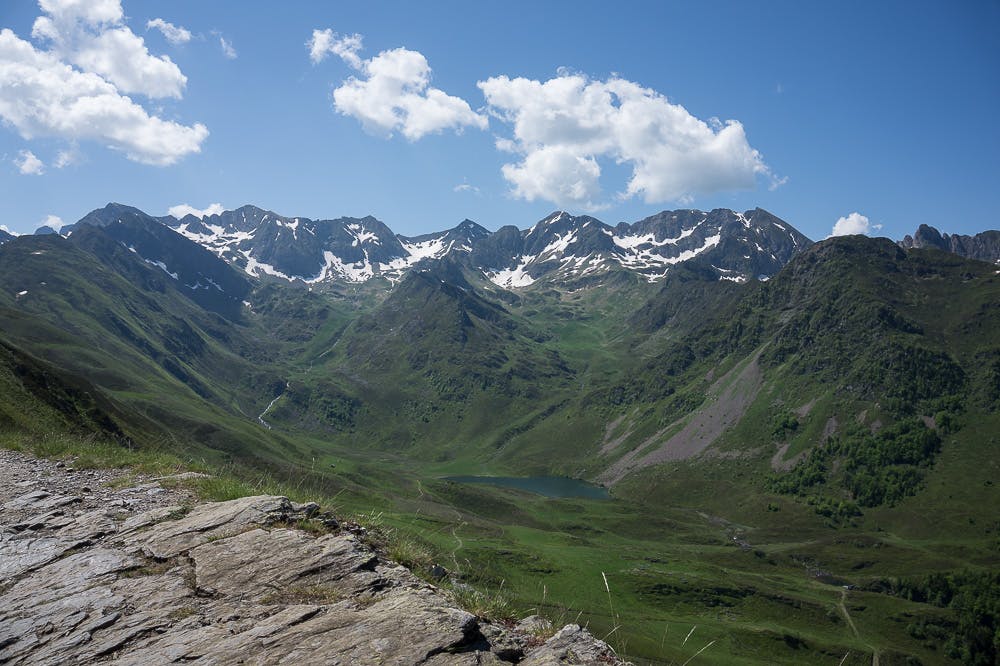
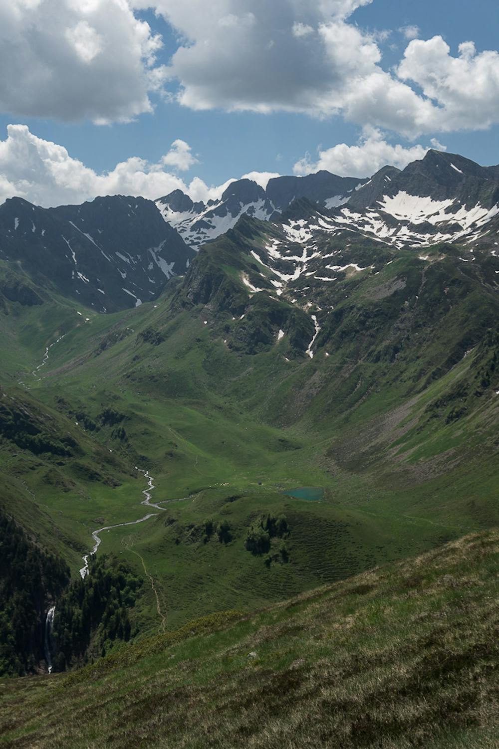
Superb views, mountain likes, a rocky ridges and a variety of sensations. This is the offer of this pointy neighbor of the famous Pic du Midi. Route starts at one of the main mountain stage finish of Tour de France: Hautacam ski resort. An alternative different return is proposed.Remark: the route show the way to the secondary South peak but the main peak is not far, separated by a narrow, exposed but not difficult ridge.
FR:
Belle route d'haute montagne qui possèdes touts les ingredients: belles vues, des lacs et de arêtes assez exposés (Niveau des difficulté des guides françaises equivalent: Montagnard - rouge)Le départ s'effectue depuis le col de Tramassel, le parking le plus haut de la station de ski (Hautacam).
ES:
Ruta semicircular desde el parking más alto de la estación de esquí de Hautacam (Col de Tramassel). La ruta sigue un trazado libre que en ocasiones abandona los senderos. Buenas vistas hacia varios lagos de montaña y fantásticas vistas sobre el macizo del Pic du Midi de Bigorre y las grandes cimas del Pirineo central francés. La cresta final es en algunos tramos aérea y expuesta, obligándonos a ayudarnos de las manos.La ruta no alcanza la cumbre oficial del pico, sino la antecima Sur que confundimos con la cumbre más alta. Esta otra está separada por una cresta fácil pero expuesta no muy lejana.
Additional info here: https://www.nevasport.com/eMotion365/art/63006/rutas-pirineo-frances/
Difficulty
Difficult
Hiking trails where obstacles such as rocks or roots are prevalent. Some obstacles can require care to step over or around. At times, the trail can be worn and eroded. The grade of the trail is generally quite steep, and can often lead to strenuous hiking.
High Exposure

Some trail sections have exposed ledges or steep ascents/descents where falling could cause serious injury.
Remoteness

Close to help in case of emergency.
Best time to visit
Features
- Alpine
- Picturesque
- Summit Hike
- Wild flowers