Nistos - Montagne d'Areng
A hike from Nistos-Cap de Nèstes: great views and a lovely summit
Hiking Moderate
- Distance
- 14 km
- Ascent
- 736 m
- Descent
- 737 m
- Duration
- 4-5 hrs
- Low Point
- 1.6 km
- High Point
- 2.1 km
- Gradient
- 15˚

ENGLISH | FRANÇAIS | ESPAÑOL
- •
- •
- •
- •
- •
- •
- •
Description
EN
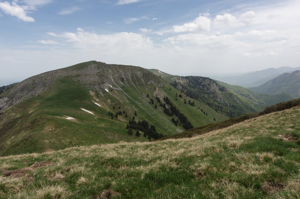
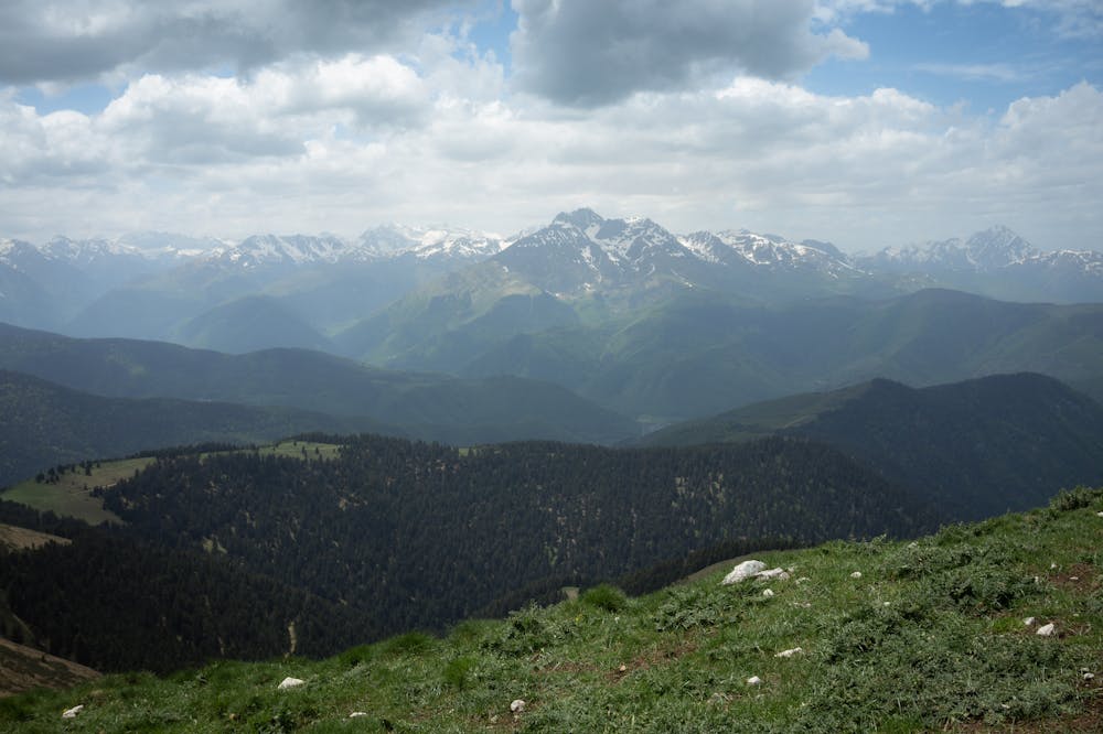
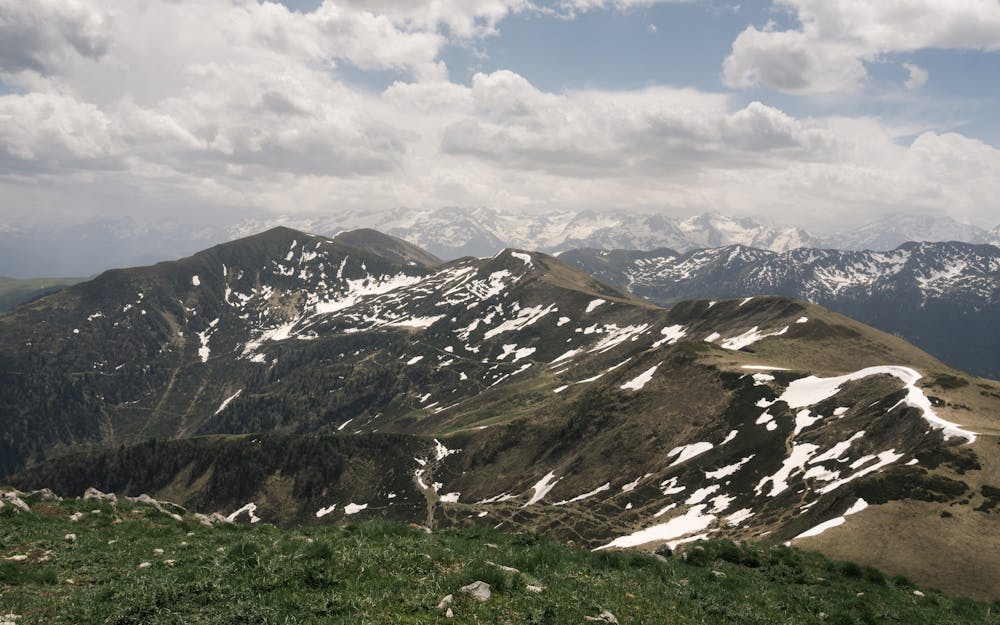
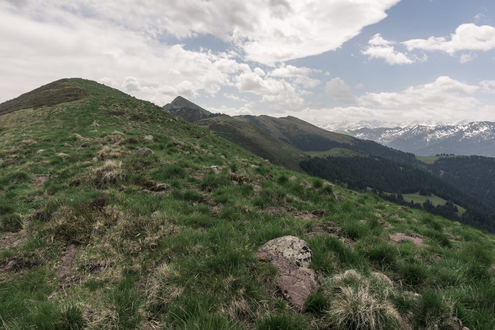
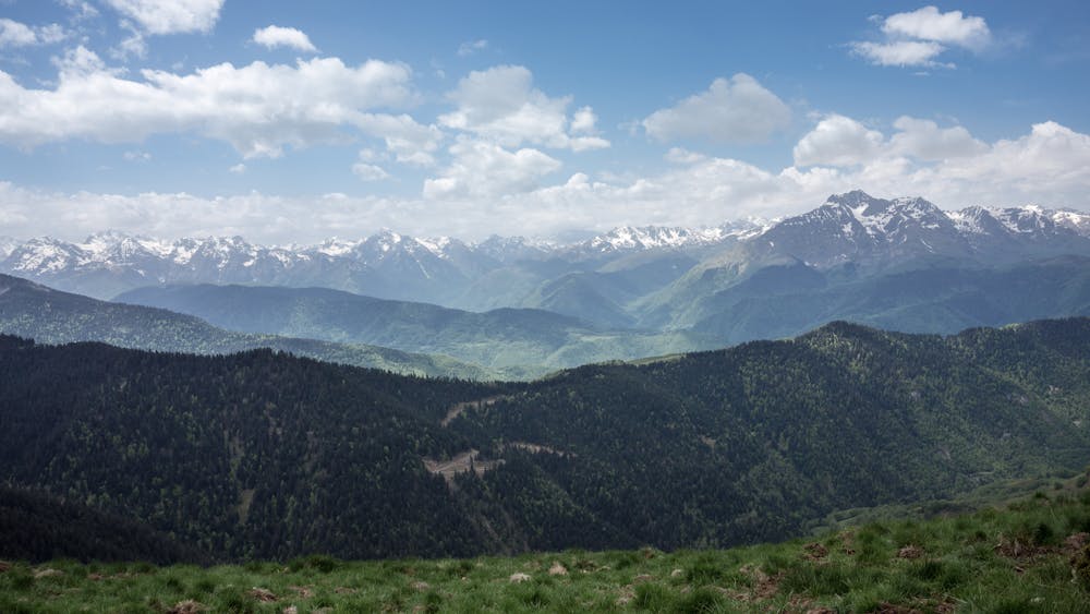
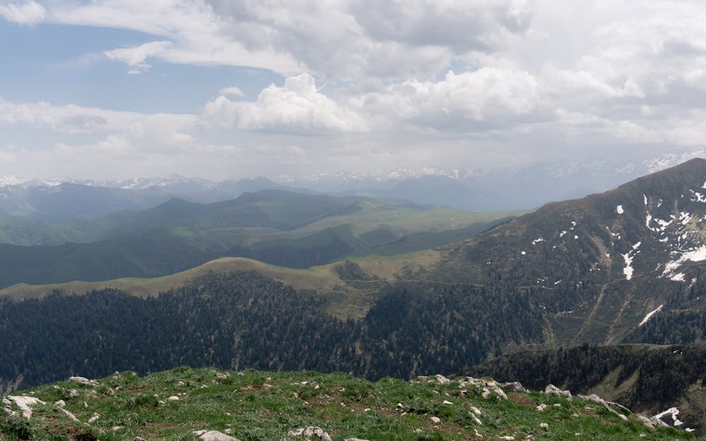
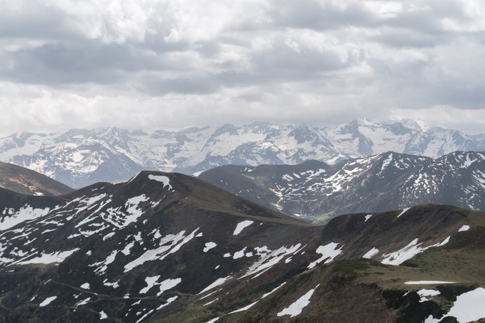
This routes will take you to the top one of the most elegant mounts of this Pyrenees area through an accesible and wide ridge with a 360º panorama. If your are lucky you could see the local wildlife, like a herd a chamois a vultures flying over your head!
FR
Depuis la station de fond de la zone la route vous propose la montée au pic de l'Areng à travers une arête assez facile et confortable avec des vues inoubliables à touts points de vue. Si vous êtes chanceux, vous aurez la possibilité de contempler même des troupeaux d'izards !
ES
Ruta interesante desde la estación de fondo hacia el llamativo pico d'Areng a través de una amplia y sencilla cresta que ofrece una ascensión sencilla aderezada de vistas magníficas en todas direcciones. Con un poco de suerte podrás ver manadas errantes de rebecos
Difficulty
Moderate
Hiking along trails with some uneven terrain and small hills. Small rocks and roots may be present.
Medium Exposure

The trail contains some obstacles such as outcroppings and rock which could cause injury.
Remoteness

Close to help in case of emergency.
Best time to visit
Features
- Wildlife
- Picturesque
- Summit Hike
- Dog friendly
- Wild flowers