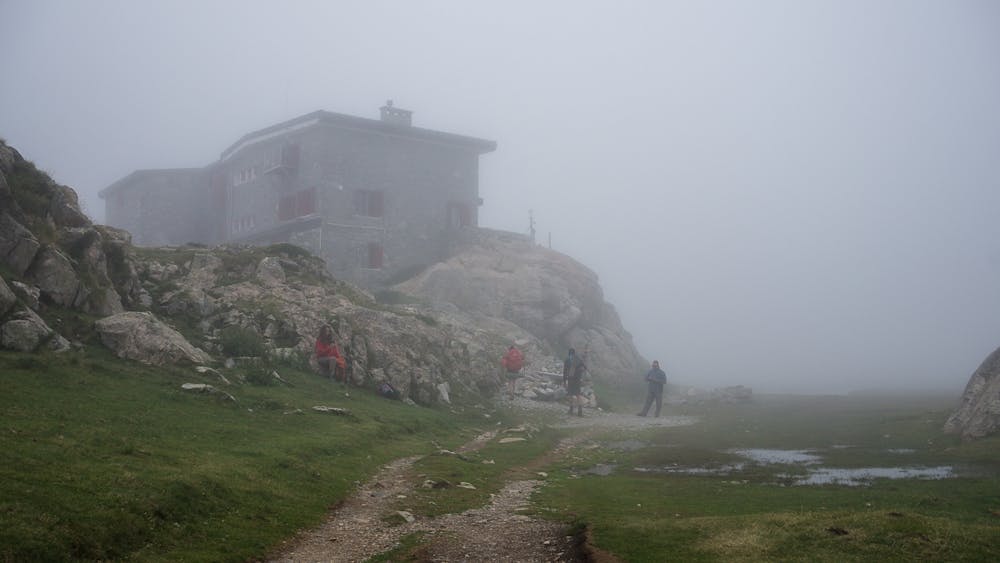
Refuge d'Oulettes de Gaube
Following the beautiful valley to the feet of Vignemale giant
Hiking Moderate
- Distance
- 18 km
- Ascent
- 745 m
- Descent
- 747 m
- Duration
- 4-5 hrs
- Low Point
- 1.5 km
- High Point
- 2.1 km
- Gradient
- 11˚

ENGLISH | FRANÇAIS | ESPAÑOL
Description
EN
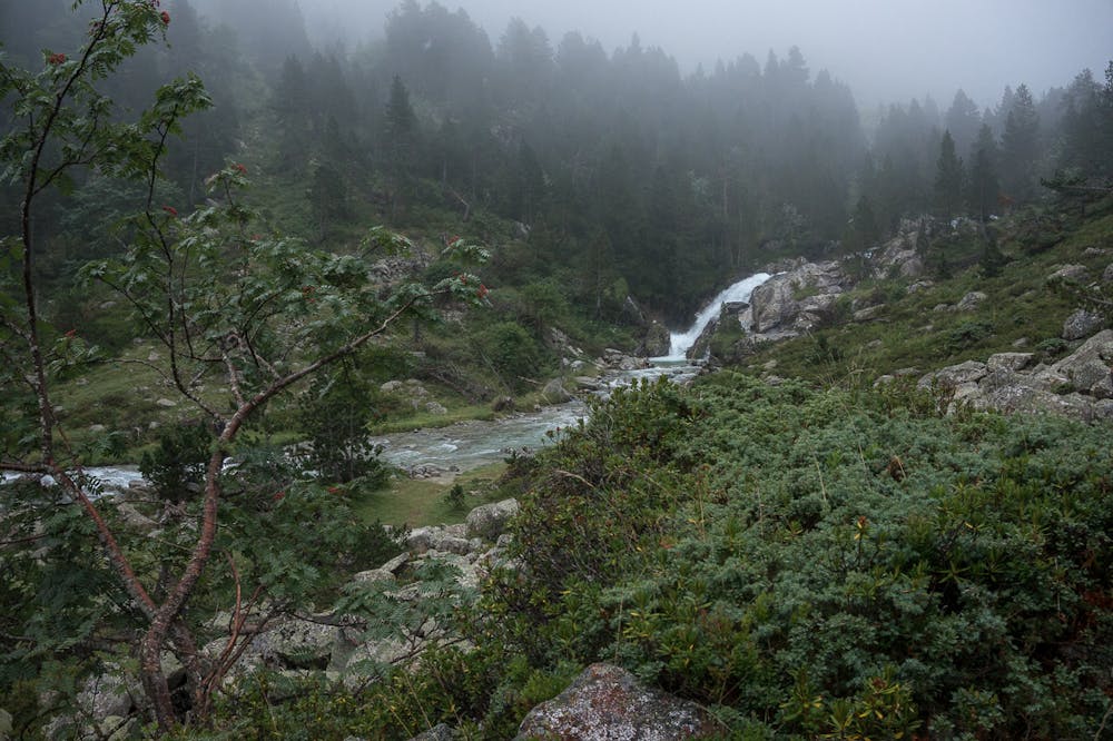
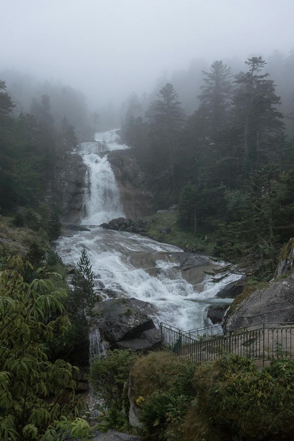
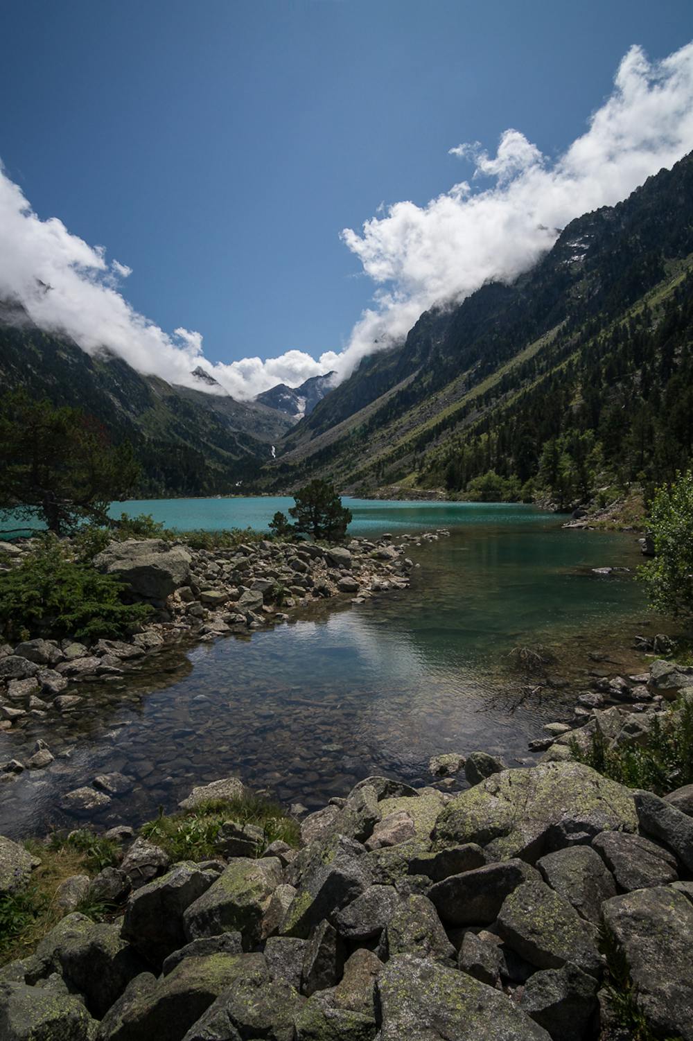
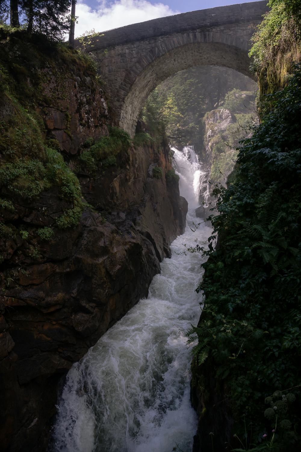
A complete adventure on foot: from the Puntas parking to Pont d'Espagne cascade site, continuing to Gaube lake, a nice place for a break. The route will take you the Oulettes de Gaube mountain refuge through a path surrounded by cascades and streams. At the very end, you will be at the foot of Vignemale peak and its glacierFR
Voilà l'alternative à pied pour la découverte du site du Pont d'Espagne, l'incroyable lac de Gaube et l’ascension au refuge des Oulettes de Gauge au pied du magnifique Vignemale.ES
Ascensión a pie desde el aparcamiento de Puntas al Pont d'Espagne y al lac de Gaube para luego continuar junto a las cascadas y torrentes que decoran el sendero hasta el refugio de Oulettes de Gaube a los pies del pico VignemaleAdditional info here: https://www.nevasport.com/eMotion365/art/63006/rutas-pirineo-frances/
Difficulty
Moderate
Hiking along trails with some uneven terrain and small hills. Small rocks and roots may be present.
Medium Exposure

The trail contains some obstacles such as outcroppings and rock which could cause injury.
Remoteness

Close to help in case of emergency.
Best time to visit
Features
- Alpine
- Wildlife
- Picturesque
- Water features