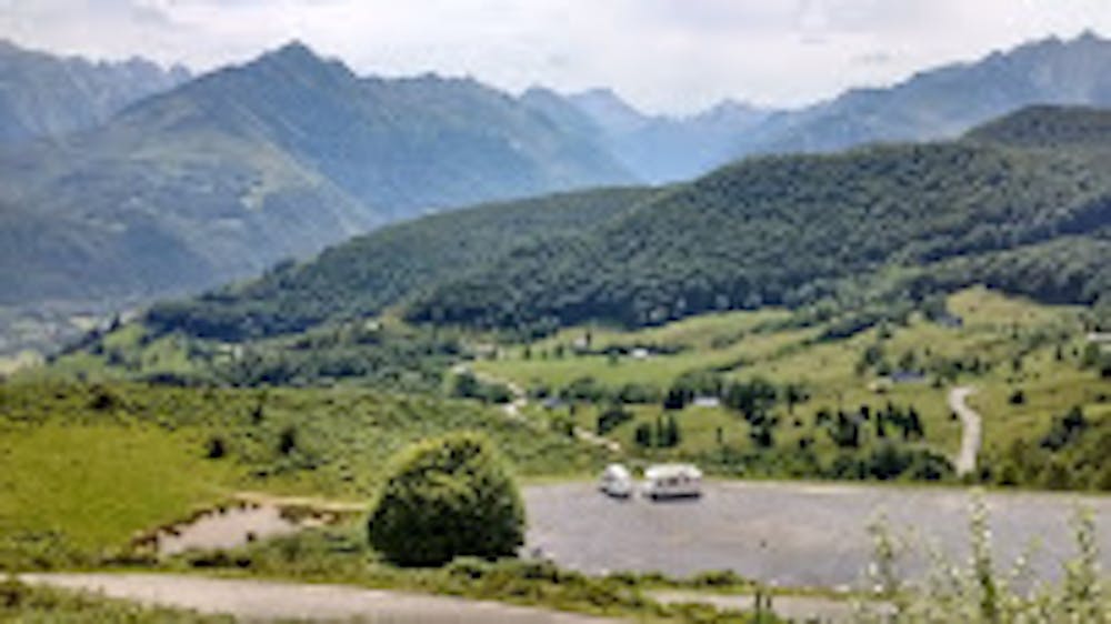
Descente sur Aucun
Sentier technique en descente vers Aucun
Mountain Biking Moderate
- Distance
- 3.4 km
- Ascent
- 6 m
- Descent
- 446 m
- Duration
- 0-1 hrs
- Low Point
- 890 m
- High Point
- 1.3 km
- Gradient
- 8˚

This is a popular mountain biking route which is generally considered to be moderate. It's not remote, it features medium exposure and is typically done all year round. From a low point of 890 m to the maximum altitude of 1.3 km, the route covers 3.4 km, 6 vertical metres of ascent and 446 vertical metres of descent.
Description
Départ du premier parking sur la droite. Suivre le sentier , arrivée à un croisement monter légèrement et longer sur la droite, ne pas suivre la piste forestière. Arrivée à la route prendre à gauche et descendre un peu , prendre un chemin rectiligne sur la droite.
Difficulty
Moderate
Mostly stable trail tread with some variability, with unavoidable obstacles 8in/20cm tall or less. Other obstacles such as rock gullies and steep sections may exist. Ideal for lower intermediate riders.
Medium Exposure

The trail contains some obstacles such as outcroppings and rock which could cause injury.
Remoteness

Close to help in case of emergency.
Best time to visit
Features
- Technical
- Road sections