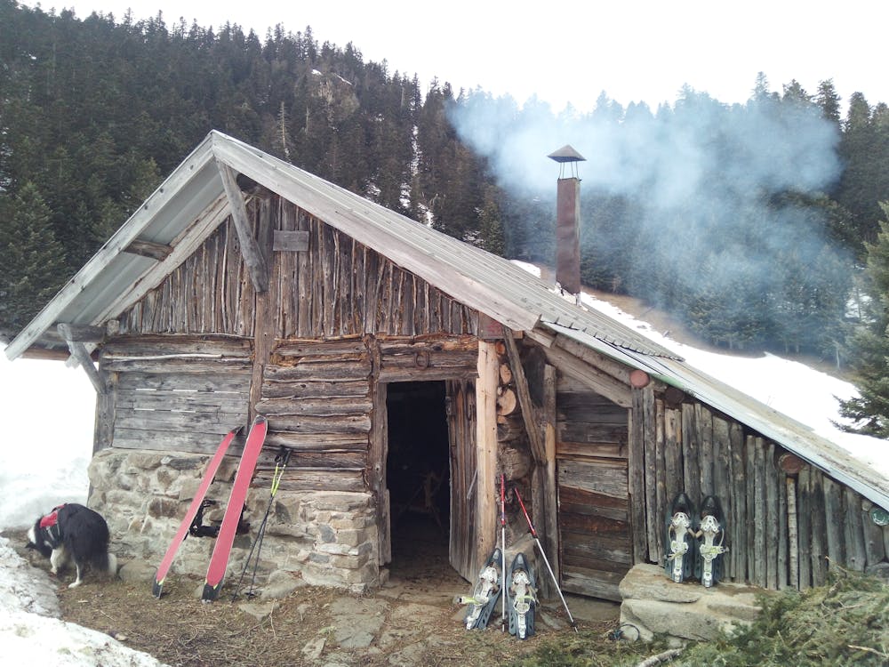
Bareilles - Dr Pic
Boucle depuis Bareilles avec pic-nic au Dr Pic
Ski Touring Easy
- Distance
- 7 km
- Ascent
- 686 m
- Descent
- 108 m
- Duration
- 3-4 hrs
- Low Point
- 1.1 km
- High Point
- 1.6 km
- Gradient
- 29˚

This is a popular ski touring route which is generally considered to be easy. It's remote, it features low exposure (e1) and is typically done in undefined. From a low point of 1.1 km to the maximum altitude of 1.6 km, the route covers 7 km, 686 vertical metres of ascent and 108 vertical metres of descent. It's graded 1.1 and Labande grade 1. You'll need skins to complete it safely.

Description
Boucle en secteur forêt, peu de dénivelé mais de la distance
Difficulty
Easy
Wide gentle slopes at around 20 degrees or less.
Best time to visit
Features
- Ski Safari
- Tree Skiing
Equipment required
- Skins

