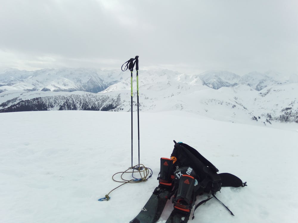
Mont Né par Bareilles
Ascension du Mont Né depuis le village de Bareilles et col de Pierrefitte
Ski Touring Easy
- Distance
- 16 km
- Ascent
- 1.2 km
- Descent
- 1.2 km
- Duration
- 7-8 hrs
- Low Point
- 1.1 km
- High Point
- 2.1 km
- Gradient
- 20˚

This is a popular ski touring route which is generally considered to be easy. It's very remote, it features low exposure (e1) and is typically done in undefined. From a low point of 1.1 km to the maximum altitude of 2.1 km, the route covers 16 km, 1204 vertical metres of ascent and 1204 vertical metres of descent. It's graded 1.3 and Labande grade 2. You'll need skins to complete it safely.
Description
Sortie sécure quand c'est avalancheux plus haut, la plupart de l'approche se fait par en piste en forêt ou hors sentier jusqu'au col de Pierrefitte. Ensuite en crête jusqu'au Mont Né.
Difficulty
Easy
Wide gentle slopes at around 20 degrees or less.
Best time to visit
Features
- Tree Skiing
- Ski Mountaineering
Equipment required
- Skins


