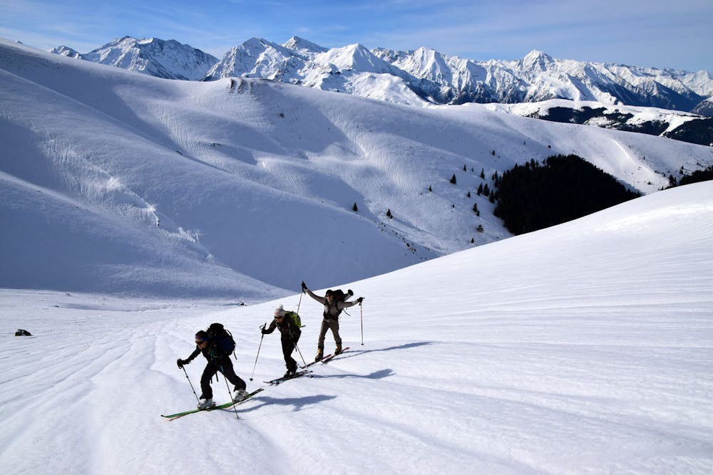
Variations au pic du Lion
Descentes en montées en faces sud et ouest
Ski Touring Moderate
- Distance
- 15 km
- Ascent
- 1.3 km
- Descent
- 1.3 km
- Duration
- 6-7 hrs
- Low Point
- 1.3 km
- High Point
- 2.1 km
- Gradient
- 23˚

This is a popular ski touring route which is generally considered to be moderate. It's remote, it features low exposure (e1) and is typically done between December and March. From a low point of 1.3 km to the maximum altitude of 2.1 km, the route covers 15 km, 1260 vertical metres of ascent and 1260 vertical metres of descent. You'll need skins to complete it safely.
- •
- •
Description
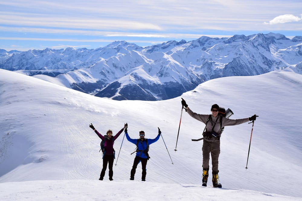
Panorama immense sur l'Aneto et les sommets du Luchonnais
Difficulty
Moderate
Slopes become slightly steeper at around 25-30 degrees.
Low Exposure (E1)

Exposure is limited to that of the slope itself. Getting hurt is still likely if the slope is steep and/or the snow is hard.
Remoteness

Away from help but easily accessed.
Best time to visit
Features
- Ski Mountaineering
Equipment required
- Skins