Cherier - La mataude - La Croix Trévingt
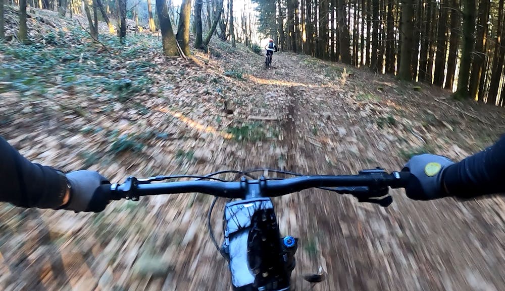
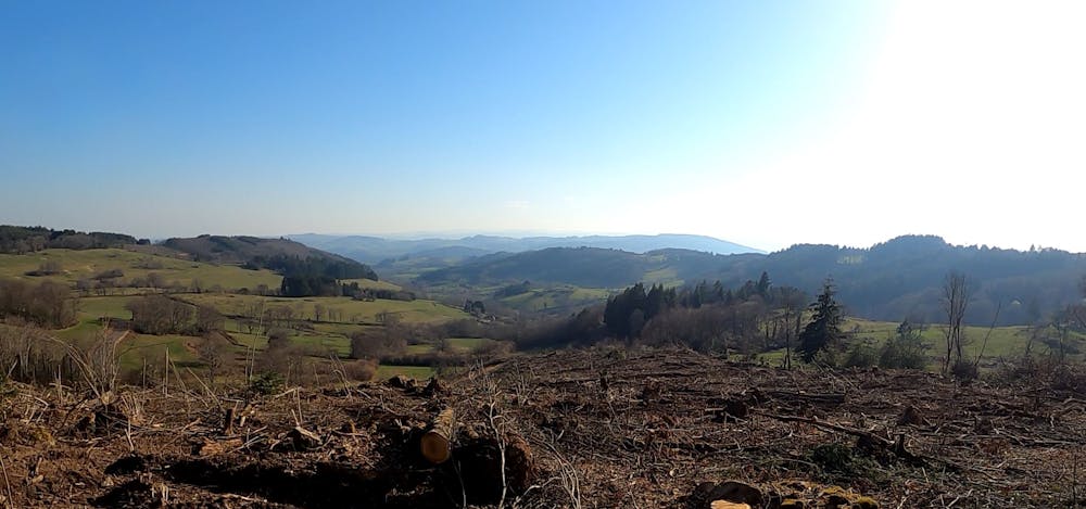
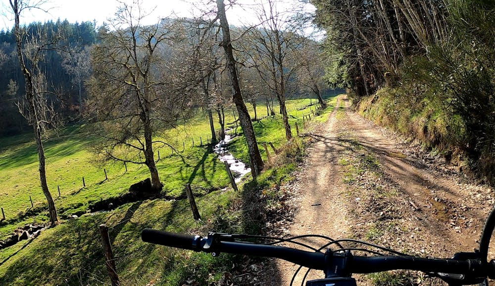
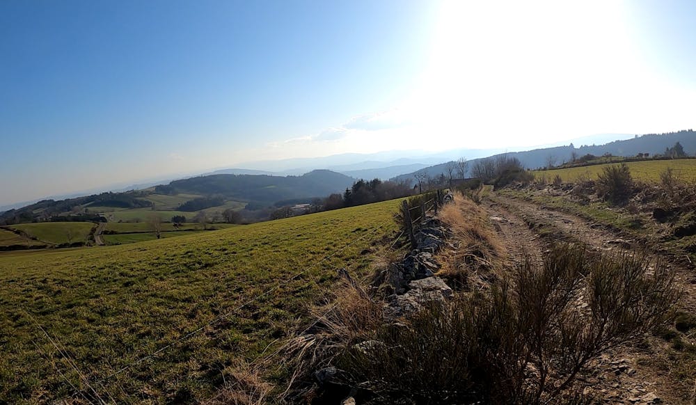
Un parcours très roulant avec malgré tout de bonnes ascensions. Un parcours avec de nombreuses vues depuis les crêtes. Sans être trop techniques, les descentes ne sont pas en reste.
Mountain Biking Difficult
- Distance
- 31 km
- Ascent
- 863 m
- Descent
- 864 m
- Duration
- 2-3 hrs
- Low Point
- 573 m
- High Point
- 991 m
- Gradient
- 6˚

This is a popular mountain biking route which is generally considered to be difficult. It's remote, it features low exposure and is typically done all year round. From a low point of 573 m to the maximum altitude of 991 m, the route covers 31 km, 863 vertical metres of ascent and 864 vertical metres of descent.
- •
- •
- •
- •
Description
La beauté du parcours, avec des vues magnifique sur le pays d'Urfé et la plaine du Roannais. Un parcours accessible aussi au VAE
Difficulty
Difficult
Mostly stable trail tread with some variability featuring larger and more unavoidable obstacles that may include, but not be limited to: bigger stones, roots, steps, and narrow curves. Compared to lower intermediate, technical difficulty is more advanced and grades of slopes are steeper. Ideal for upper intermediate riders.
Low Exposure

The path is on completely flat land and potential injury is limited to falling over.
Remoteness

Away from help but easily accessed.
Best time to visit
Features
- Hike a bike
- Picturesque
- In the forest
- Road sections