Montgrésin
Montgrésin - Orry-la-Ville - Coye-la-Forêt
Hiking Easy
- Distance
- 20 km
- Ascent
- 265 m
- Descent
- 263 m
- Duration
- 5-6 hrs
- Low Point
- 36 m
- High Point
- 129 m
- Gradient
- 4˚

This is a popular hiking route which is generally considered to be easy. It's not remote, it features low exposure and is typically done all year round. From a low point of 36 m to the maximum altitude of 129 m, the route covers 20 km, 265 vertical metres of ascent and 263 vertical metres of descent.
Description
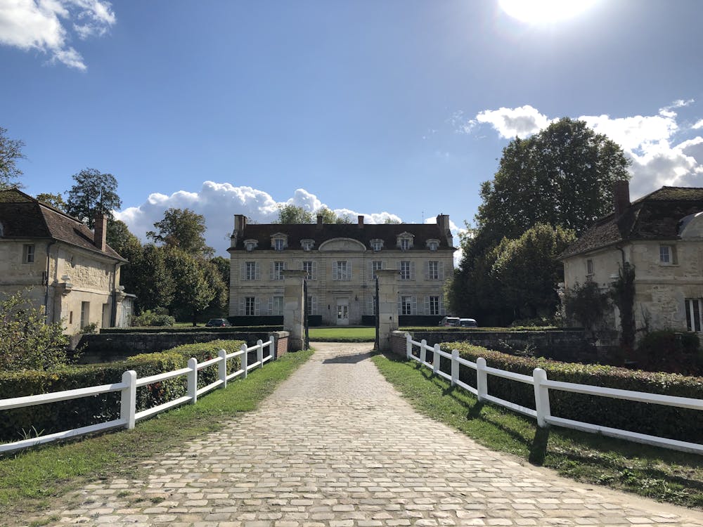
Randonnée facile au sud de la forêt de Chantilly
Difficulty
Easy
Walking along a well-kept trail that’s mostly flat. No obstacles are present.
Low Exposure

The path is on completely flat land and potential injury is limited to falling over.
Remoteness
Close to help in case of emergency.