Canal Éclaire, Cambre d'Aze
Winter Alpinism Route
Alpine Climbing Difficult
- Distance
- 28 km
- Ascent
- 2.1 km
- Descent
- 2.5 km
- Low Point
- 1.6 km
- High Point
- 2.7 km
- Gradient
- 32˚
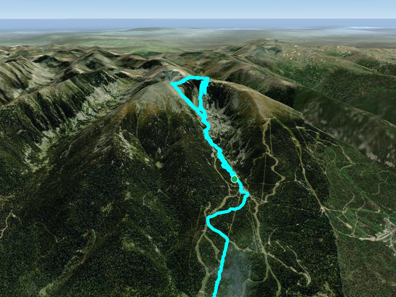
This is a popular alpine climbing route which is generally considered to be difficult. It's not remote, it features medium exposure and is typically done between January and March. From a low point of 1.6 km to the maximum altitude of 2.7 km, the route covers 28 km, 2135 vertical metres of ascent and 2472 vertical metres of descent. You'll need crampons, quickdraws, 2 ice axes, climbing shoes and wires and friends to complete it safely.
Description
Winter Route
Difficulty
Difficult
The beginning of truly technical terrain which might involve pitched climbing on rock and/or ice, exposed terrain and complex route finding in ascent and descent. Equivalent to AD, AD+
Medium Exposure

The route features some exposed and/or difficult to protect sections.
Remoteness

Close to help in case of emergency.
Best time to visit
Equipment required
- Crampons
- Quickdraws
- 2 Ice Axes
- Climbing Shoes
- Wires and Friends