Pic Carlit face S
A good introduction to steep skiing. Plus, it comes with an easy course over the southern ridge of the Pic Carlit.
Freeride Skiing Moderate
- Distance
- 1.4 km
- Ascent
- 336 m
- Descent
- 336 m
- Low Point
- 2.6 km
- High Point
- 2.9 km
- Gradient
- 46˚

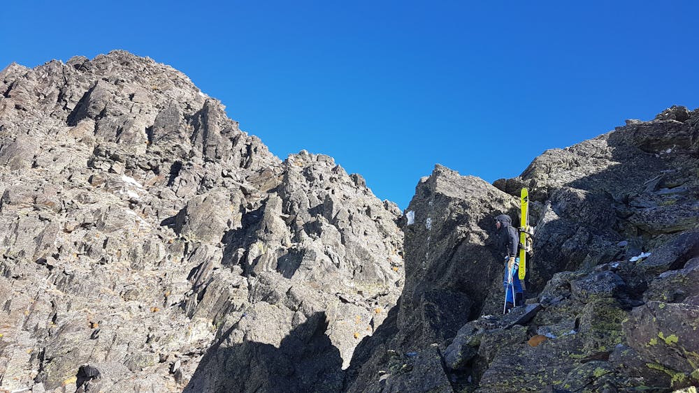
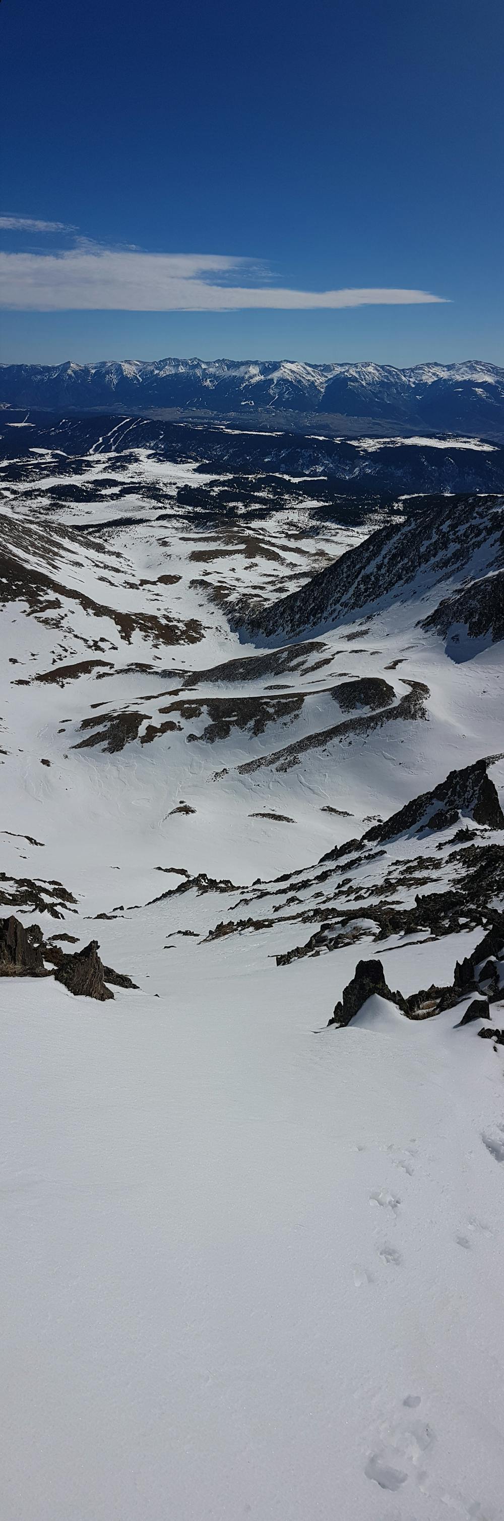
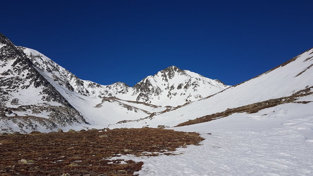
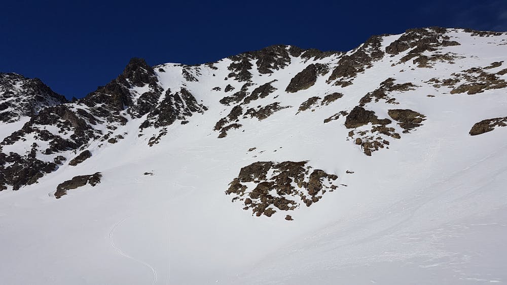
In winter, the access is usually made from the ski resort of Font-Romeu, I'd advise to park at La Calme's parking. Then, it's about two hours crossing trough the "desert du carlit" to get to the base of the face. Then, you have to ascend the couloir leading to the Coll dels Andorans (2749m). From there you only have to follow the summital ridge towards the summit. Its quite an easy path, yet you have to mind the loose rocks along the way. Enjoy the view at the summit (2921m) before turning back on your tracks and descending about 50 meters to the entrance of the couloir. There are several entrances to the couloir, function of the conditions and your feelings towards the steep slope. Overall the ride is not too exposed, it's kind of a straight line that opens up on the bottom third. The average slope is about 40-45° and consistent troughout the face.
- •
- •
- •
- •
Difficulty
Moderate
Slopes become slightly steeper at around 25-30 degrees.
Medium Exposure (E2)

As well as the slope itself, there are some obstacles (such as rock outcrops) which could aggravate injury.
Remoteness
Away from help but easily accessed.
Best time to visit
Features
- Couloir
Equipment required
- Skins